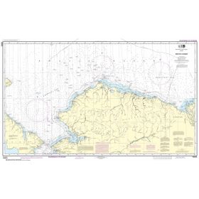
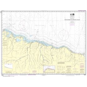
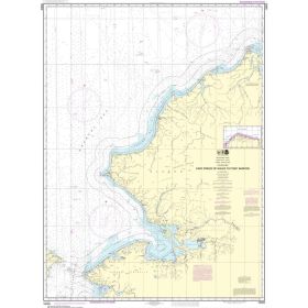
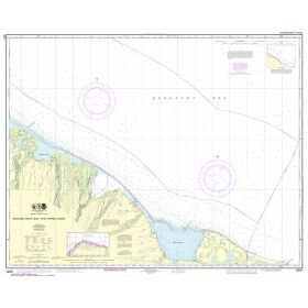
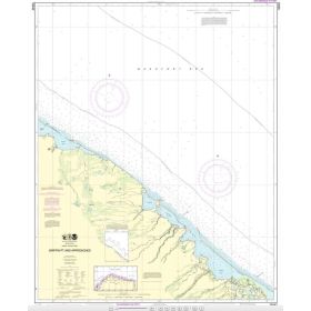
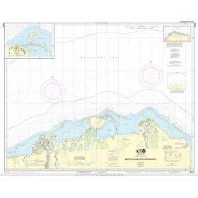
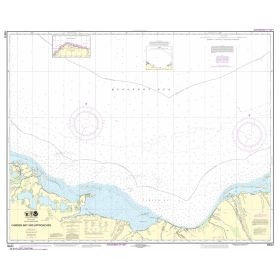
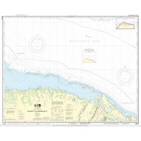
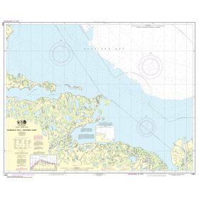
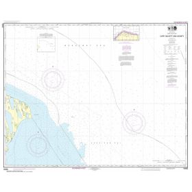
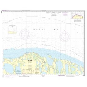
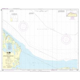
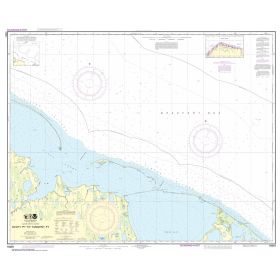
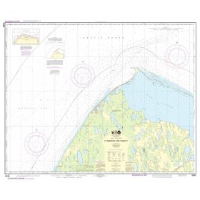
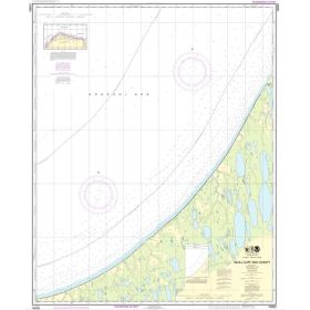
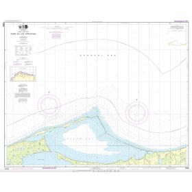
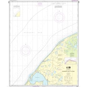
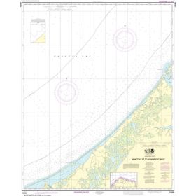
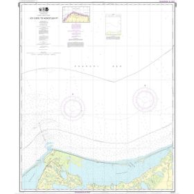
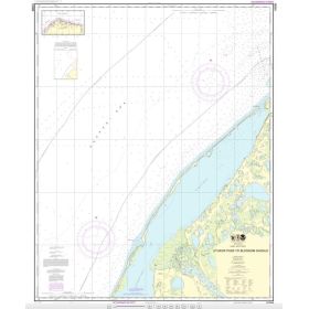
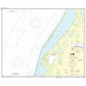
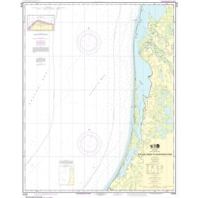
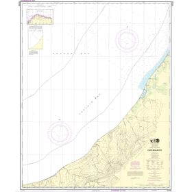
NOAA nautical chart Arctic ocean
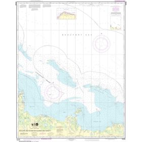
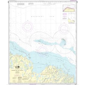
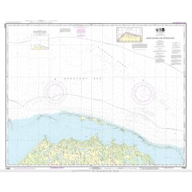
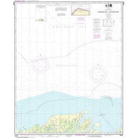
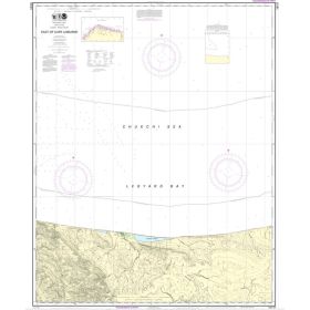
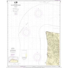
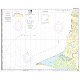
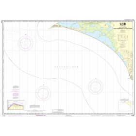
Navigation in the Arctic Ocean, particularly along the coast of Alaska, represents one of the most demanding challenges for mariners due to extreme weather conditions, the presence of sea ice and geographical isolation. NOAA charts, inheriting a cartographic tradition spanning more than two centuries, cover this area through numerous charts divided into coastal and offshore coverage, including chart 16003 (Arctic Coast) and 16082 (Point Barrow). A crucial point: NOAA announced the complete discontinuation of traditional paper chart production as of January 1, 2025. To ensure continuity, Nautic Way offers printed charts based on ENCs (Electronic Navigational Charts), updated in near real time and now displaying depths in metres rather than fathoms, ensuring perfect consistency with GPS systems.

 Click here to open our interactive map and select your charts