I am looking for a specific paper nautical chart
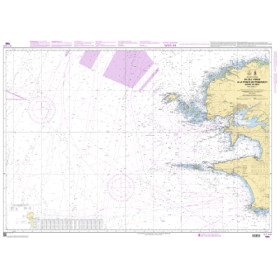
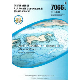
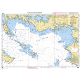
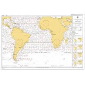
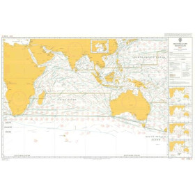
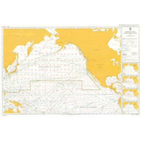
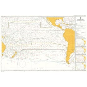
I am looking for a specific paper nautical chart to plan a voyage, passage or port call in a particular maritime area. This category includes charts covering many seas and oceans, including the Atlantic Ocean, Mediterranean Sea, North Sea, English Channel, Baltic Sea, Caribbean Sea, Red Sea, Arabian Sea, Indian Ocean and Pacific Ocean. Depending on your destination, you may be looking for a nautical chart covering Marseille, Toulon, Nice, Genoa, Barcelona, Lisbon, Rotterdam, Hamburg, Papeete, Nouméa or Fort-de-France. Charts may be published by SHOM, Admiralty, Imray, NV Charts or other official hydrographic services. A specific paper nautical chart provides detailed information on coastlines, ports, channels, depths, hazards, navigation aids and regulated areas. It is suitable for coastal navigation, offshore sailing and voyage planning.

 Click here to open our interactive map and select your charts