




Data sheet
Specific References
We endeavour to sell only the latest versions of nautical charts that include the most recent updates.
This nautical chart, notably complies with the SOLAS convention regulations for carriage requirement.
Shom nautical charts use the meter as reference unit.Familiar to navigators, nautical charts have undergone intensive evolution over time. Whatever chart is used, precautions must be taken for safe use.
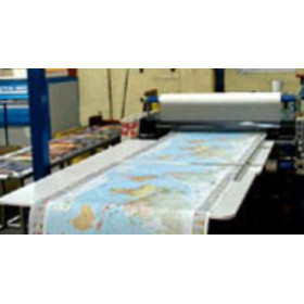
Shom continuously collects and processes information necessary for navigation; then, publishes it, notably on nautical charts. The elaboration of nautical charts is conducted by expert cartographers who analyse, select and compile data, in order to obtain a graphical synthesis: The mapped information. They use a wide range of information: Bathymetric data base, wrecks, buoyage system, undersea cables, .... and also benefit from the advice of nautical experts, geophysicians, hydrographers and a specialised laboratory for aerial or satellite image exploitation.
Keeping your chart folio up to date on a regular basis enables the integration on new information (new hydrographic data, new regulations, modifications of navigation marks or harbour infrastructure, etc) and it also makes them compliant with international standards.
In the SHOM descriptive chart lists, you will find:
The paper:
The support of this standard nautical chart is 150 gr/m² flat paper, generally close to A0 format.
Other characteristics:
Scale ranges:
The charts exist in three "series", according to their range of scales:
Inset:
According to the navigation zone, several insets - mainly harbours - can be found.
Both sides print:
Reprint and updates:
SHOM charts are corrected daily and are only printed on request; on the day they are printed, the latest updates are included. The year of printing appears on the chart.
You might also like