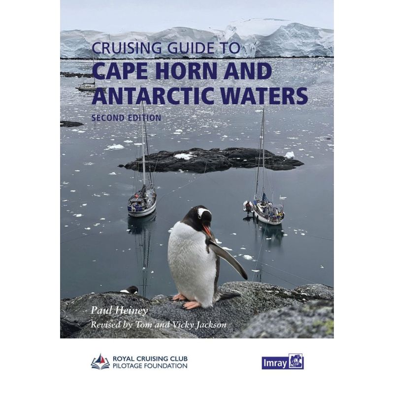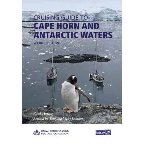





Navigate Cape Horn and Antarctica with confidence. This guide offers updated navigation details, expert advice, and vivid imagery for sailors tackling one of the planet’s most extreme adventures.
Data sheet
Specific References
Your Ultimate Companion for Extreme Sailing Adventures
Navigate the world’s most remote and breathtaking waters with confidence using this meticulously crafted nautical guide. Designed for sailors tackling the legendary routes around Cape Horn, the Beagle Channel, the Falkland Islands, and the Antarctic Peninsula, this book delivers unparalleled insights into one of the planet’s most challenging yet rewarding cruising grounds. Whether you're planning an expedition or dreaming of icy horizons, this guide equips you with the knowledge to explore safely and efficiently.
Expertly Updated for Modern Sailors
The 2026 second edition has been fully revised and updated by seasoned navigators Tom and Vicky Jackson, ensuring the latest information on weather patterns, navigation hazards, and safe anchorages. Drawing from the firsthand experience of broadcaster and author Paul Heiney, this guide blends practical advice with vivid storytelling, offering a unique perspective on the region’s treacherous yet awe-inspiring waters. Every passage, port, and anchorage is described with clarity, supported by Imray’s renowned sketched plans and battle-tested strategies shared by experienced mariners.
Comprehensive Coverage of High-Risk, High-Reward Waters
From the perilous edges of Cape Horn to the frozen inlets of Antarctica, this guide covers the full spectrum of sailing in the Southern Ocean. Detailed sections on Chile’s fjords, the Beagle Channel’s labyrinthine routes, the Falkland Islands’ remote outposts, and the Antarctic Peninsula’s icy expanses provide sailors with the tools to navigate safely. Practical tips on weather, tides, and local conditions are paired with stunning full-color photography, making this book as inspiring as it is functional.
Essential Planning Tool and Adventure Catalyst
More than just a navigation aid, this guide is a gateway to one of the last great sailing frontiers. It combines hard-earned wisdom from veteran sailors with the thrill of exploration, offering a roadmap for those seeking the ultimate maritime challenge. Whether you're plotting a course through the Drake Passage or anchoring in a secluded Antarctic bay, this book ensures you’re prepared for the journey of a lifetime.
Navigate the World’s Most Extreme Waters with Precision
This nautical guide is your indispensable resource for sailing the rugged coastlines of Cape Horn, the intricate channels of the Beagle, the windswept Falkland Islands, and the icy wilderness of the Antarctic Peninsula. Weighing 1200 grams and presented in a durable 210 x 297 mm paperback format, it’s built to withstand the demands of life at sea while delivering critical information at a glance. The 2026 second edition, revised by expert sailors Tom and Vicky Jackson, ensures you have the most current data for safe and successful navigation in these remote regions.
Engineered for Sailors, by Sailors
Crafted in collaboration with the RCC Pilotage Foundation, this guide merges technical precision with real-world experience. It includes Imray’s signature sketched plans, which simplify complex routes and anchorages, along with strategies tested by mariners who’ve braved these waters. The book’s full-color photography and authoritative writing make it both a practical tool for trip planning and a source of inspiration for adventurers. Whether you're charting a course through stormy seas or seeking shelter in a hidden cove, this guide provides the insights you need to navigate with confidence.
From the Drake Passage to Antarctic Bays
Covering latitudes from -39° to -69° and longitudes from -24° to -81°, this guide spans the most challenging and spectacular cruising grounds on Earth. It offers detailed descriptions of key passages, ports, and anchorages, along with practical advice on weather, tides, and local hazards. The book’s clear, instructive approach ensures you can tackle everything from the unpredictable waters of the Drake Passage to the serene beauty of Antarctic bays, all while staying safe and informed.
This nautical guide is presented in a sturdy paperback format, measuring 210 x 297 mm and weighing 1200 grams, making it easy to handle and store on board. Written entirely in English, the 2026 second edition has been fully revised and updated by experienced navigators to provide the most accurate and current information for sailing in extreme southern waters.
For decades, this publisher has been a trusted name in nautical guides, renowned for producing high-quality, reliable resources for sailors navigating some of the world’s most challenging waters. Their collaboration with experienced mariners and organizations like the RCC Pilotage Foundation ensures that every guide is packed with practical, battle-tested knowledge, making them an essential companion for adventurers and professionals alike.
The guide covers Cape Horn, Chile, the Beagle Channel, the Falkland Islands, and the Antarctic Peninsula.
The second edition was revised and updated by experienced sailors Tom and Vicky Jackson.
It includes Imray sketched plans, full-page color photographs, and clear descriptions of key passages, ports, and anchorages.
Yes, it provides practical details, proven strategies, and insights from experienced sailors for navigating challenging waters.
The guide weighs 1200 grams.
The dimensions are 210 x 297 millimeters.
Yes, it blends personal experiences from broadcaster and author Paul Heiney with solid navigational information.
You might also like