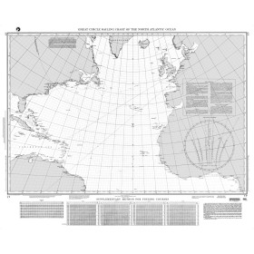
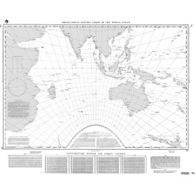
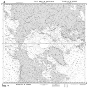
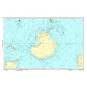
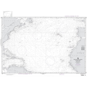
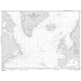
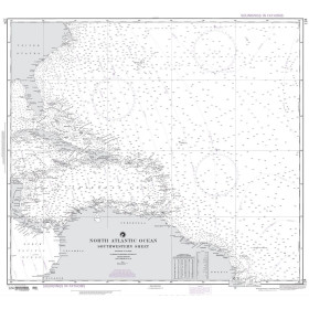
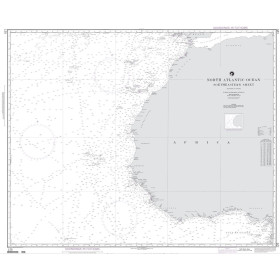
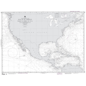
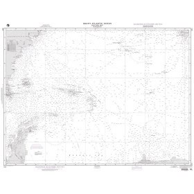
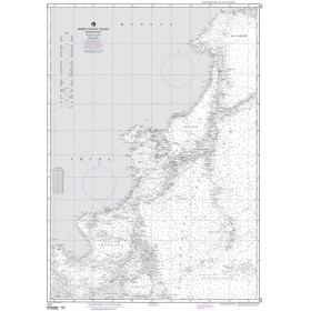
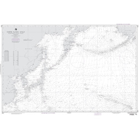
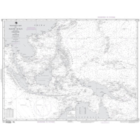
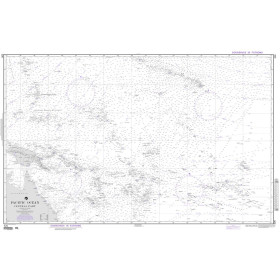
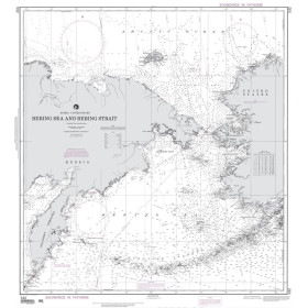
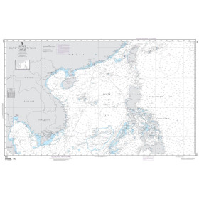
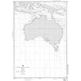
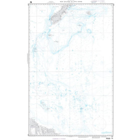
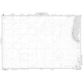
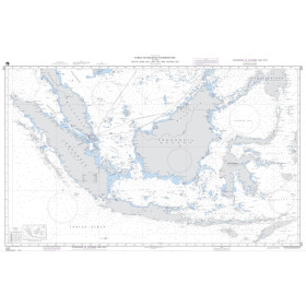
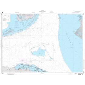
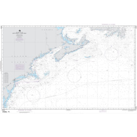
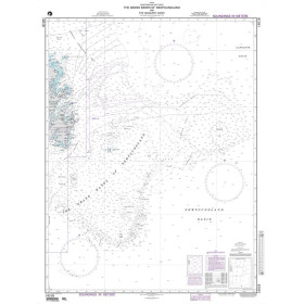
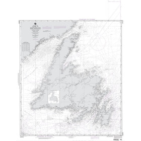
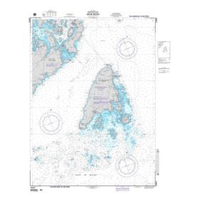
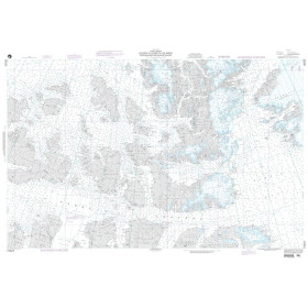
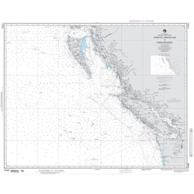
NGA National Geospatial Intelligence Agency nautical chart
NGA (National Geospatial-Intelligence Agency) nautical charts represent a global professional standard covering the world's oceans and coastlines: open oceans, tropical regions, remote archipelagos, strategic straits, polar regions and major international shipping routes. Nautic Way offers a wide catalogue of charts divided into coastal, nearshore, offshore and oceanic coverage, particularly suited to round-the-world sailors, offshore fishermen and shipowners navigating outside Europe in areas where coverage from other hydrographic services may be limited. Each chart complies with International Hydrographic Organization (IHO) conventions and INT chart symbols, providing detailed information on soundings, light sectors, Exclusive Economic Zone (EEZ) boundaries and military areas. Supplied rolled in tubes, the charts benefit from frequent corrections through Notices to Mariners. Nautic Way is committed to consistently supplying the most recent available edition. An NGA paper chart remains an essential onboard backup in the event of electronic system failure and should be used alongside sailing directions and light lists.

 Click here to open our interactive map and select your charts