I am looking for a Navionics digital marine chart
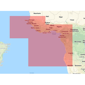
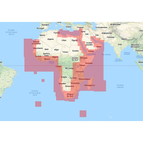
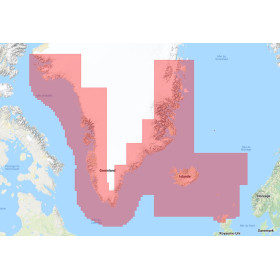
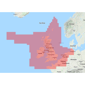
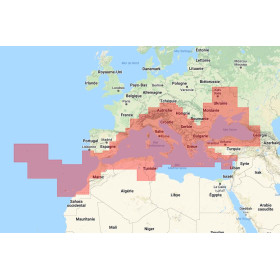
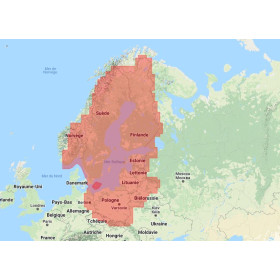
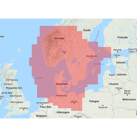
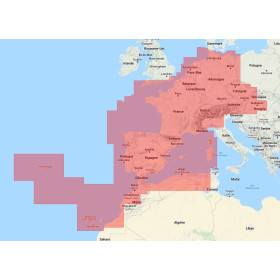
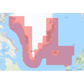
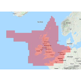
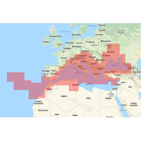
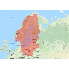
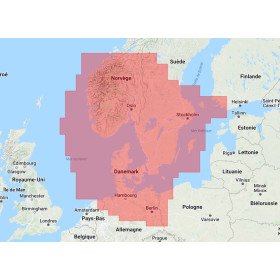
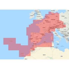
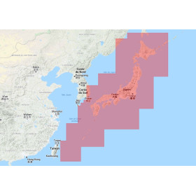
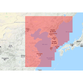
I am looking for a Navionics digital marine chart for my GPS or marine chartplotter: discover Navionics charts on SD or microSD cards designed for coastal navigation, cruising, fishing and offshore navigation. Depending on the reference, a Navionics marine chart can display coastlines, soundings, depths, bathymetric contours, ports, marinas, wrecks, hazards, navigation aids, tides and currents. Navionics+ and Platinum+ charts also offer advanced features such as SonarChart HD, automatic route guidance, chart updates and, depending on the model and geographical area, shaded relief, satellite imagery and 3D views. To choose a Navionics chart on microSD, it is essential to check the geographical coverage and exact compatibility with the GPS or chartplotter model. Librairie Maritime Nautic Way offers Navionics digital charts for different navigation areas and boating applications.

 Click here to open our interactive map and select your charts





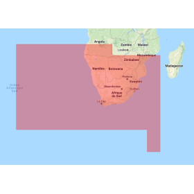
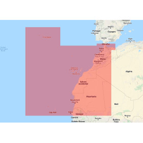
- -5%
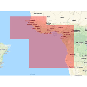

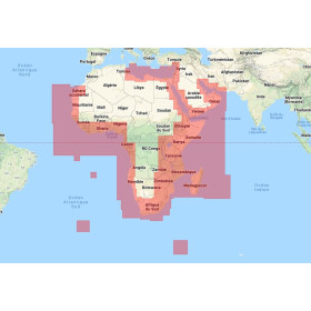
- -5%


- -5%