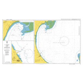
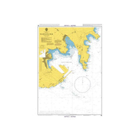
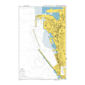
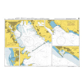
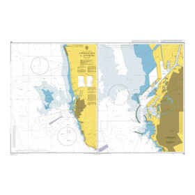
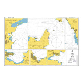
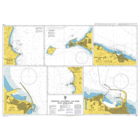
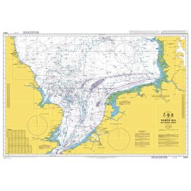
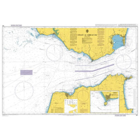
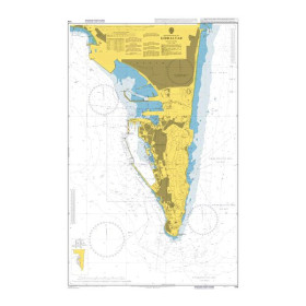
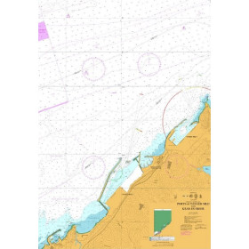
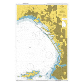
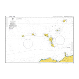
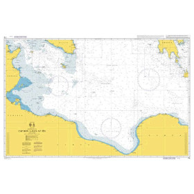
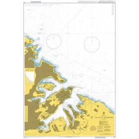
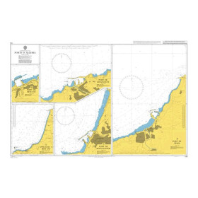
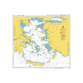
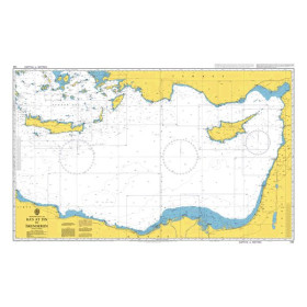
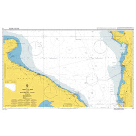
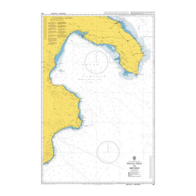
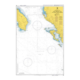
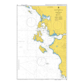
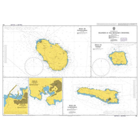
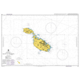
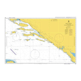
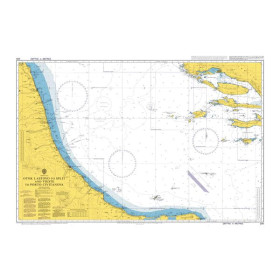
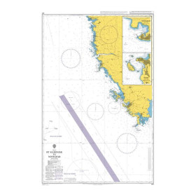
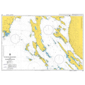
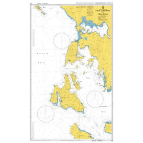
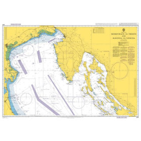
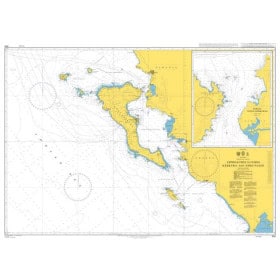
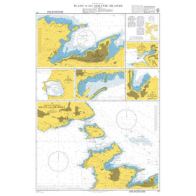
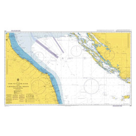
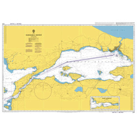
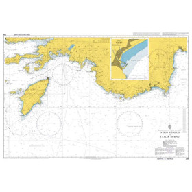
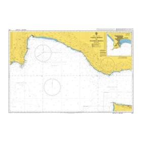
Admiralty nautical chart Mediterranean sea
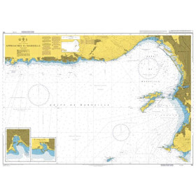
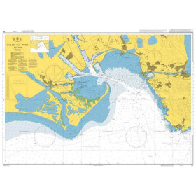
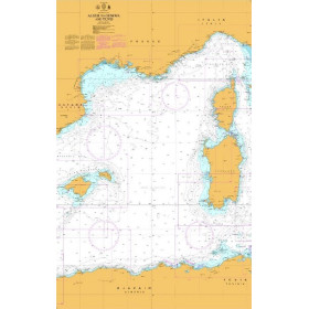
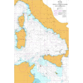
Admiralty nautical charts of the Mediterranean Sea are designed to support coastal and offshore navigation and passages throughout the Mediterranean basin. Published by the United Kingdom Hydrographic Office (UKHO), they provide essential navigational information, including depths, soundings, hazards, shoals, rocks, wrecks, lights, lighthouses, buoys, navigation marks, channels, ports and navigational aids. An Admiralty nautical chart of the Mediterranean Sea can be used to plan routes along the coasts of France, Spain, Italy, Greece, Croatia, Turkey and North Africa, depending on the chart reference selected. These charts also cover numerous islands, archipelagos, straits and Mediterranean port approaches. They are suitable for recreational boating, cruising, passages and professional navigation. The appropriate chart depends on the geographical area, planned route, required scale and level of detail needed to prepare accurate navigation in the Mediterranean Sea.

 Click here to open our interactive map and select your charts