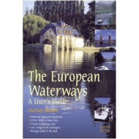
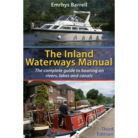
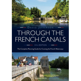
Other river chart and guide
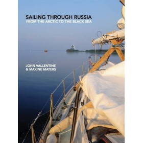
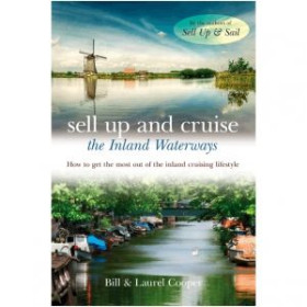
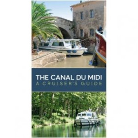
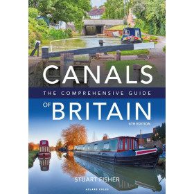
Other inland waterway charts and guides include specialised publications covering rivers, canals and navigable waterways that are not included in the main collections of major general or hydrographic publishers. These documents may focus on specific regions in France and Europe, providing information on routes, locks, bridges, dams, ports, marinas, stopping places and mooring facilities. They can be used to plan cruises on the Seine, Loire, Rhône, Saône, Garonne or Rhine, as well as on inland waterway networks in the Netherlands, Belgium and Germany. A specialised inland waterway chart or guide helps navigators adapt route planning to the characteristics of a particular waterway and anticipate technical passages. These publications are intended for recreational boaters, navigators, crews and inland navigation professionals. They complement official charts, regulatory information and other nautical documentation required for accurate route planning and safe navigation on European rivers, canals and inland waterways.

 Click here to open our interactive map and select your charts