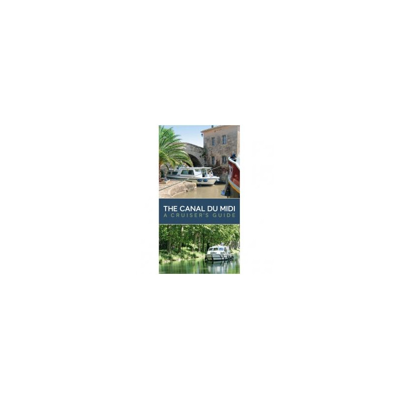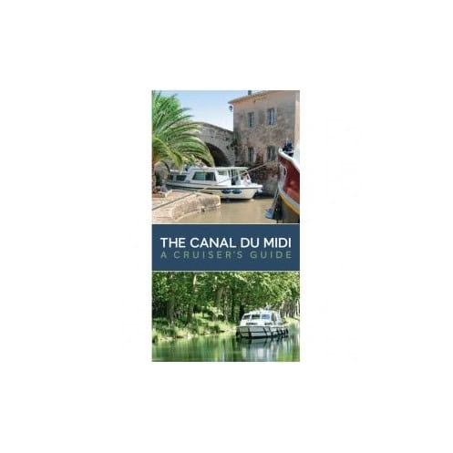



Explore the Canal du Midi like a pro with this all-in-one cruiser’s guide. Includes detailed maps, lock distances, mooring points, and historical insights for a hassle-free voyage from coast to coast.
Data sheet
Specific References
Unlock the Secrets of the Canal du Midi with This Expert Cruiser’s Guide
Imagine gliding through the heart of southern France, where centuries-old plane trees line the banks of a UNESCO-listed waterway, and every lock brings you closer to the Mediterranean. The Canal du Midi: A Cruiser’s Guide is your indispensable companion for navigating this iconic route, offering a perfect blend of practical navigation tools, historical insights, and stunning visuals. Whether you're a seasoned boater or a first-time cruiser, this guide ensures your journey is as seamless as it is unforgettable.
Precision Navigation for Every Mile of Your Journey
This guide leaves no stone unturned when it comes to navigation. With step-by-step maps covering the entire 240-kilometer length of the Canal du Midi, you’ll have access to precise distances, lock locations, bridge heights, and mooring spots at your fingertips. The inclusion of the Canal du Rhône à Sète—extending your voyage to the Rhône River—adds even more versatility, allowing you to explore beyond the Midi’s classic route. Each map is designed for clarity and ease of use, ensuring you can plan your stops, refuel, and restock provisions without a hitch.
Practical Advice for Smooth Sailing
Navigating the Canal du Midi comes with its own set of challenges, from mastering the art of locking through to finding safe and scenic mooring spots. This guide provides invaluable practical advice, including tips on handling your vessel in tight spaces, understanding local regulations, and making the most of the canal’s unique infrastructure. You’ll also find recommendations for nearby services, from fuel stops to repair shops, ensuring you’re never caught off guard. Whether you’re cruising solo or with a crew, these insights will help you avoid common pitfalls and enjoy a stress-free voyage.
A Rich Blend of History and Scenery
The Canal du Midi is more than just a waterway—it’s a living museum of engineering and history. Built in the 17th century under the vision of Pierre-Paul Riquet, this UNESCO World Heritage site was a marvel of its time, connecting the Atlantic to the Mediterranean without the need to sail around the Iberian Peninsula. This guide delves into the canal’s fascinating past, from the challenges of its construction to the stories of the workers who brought Riquet’s vision to life. As you cruise, you’ll pass through charming villages, lush vineyards, and landscapes that have inspired travelers for centuries. The book’s vibrant color photos help you identify landmarks and appreciate the beauty of your surroundings, making every mile of your journey a visual delight.
Built for Life on the Water
Designed with cruisers in mind, this 144-page paperback is compact, durable, and easy to use. Measuring just 12 x 22 cm, it fits perfectly in a cockpit or navigation station, while its sturdy binding ensures it stands up to the rigors of life on the water. Whether you’re referencing it mid-cruise or planning your next stop from a café, this guide is your go-to resource for everything related to the Canal du Midi. The author, Bernd Wilfred Kiessler, combines his expertise as a cruiser and historian to deliver a guide that’s as informative as it is engaging, making it a must-have for any boater’s library.
This comprehensive cruiser’s guide is designed for practicality and durability, featuring a lightweight 1.5 kg paperback format with 144 pages of detailed navigation aids, historical insights, and practical advice. Measuring 12 x 22 cm, it’s compact enough to fit in a cockpit or navigation station, yet packed with step-by-step maps, color photos, and essential information to guide you through every mile of the Canal du Midi and beyond.
With a legacy of providing trusted nautical resources, this publisher is renowned for creating detailed, practical, and beautifully illustrated guides for boaters. Their expertise in combining navigation essentials with historical context and stunning visuals makes their publications a favorite among cruisers exploring Europe’s most iconic waterways.
The guide features detailed step-by-step maps showing distances, locks, bridges, moorings, and anchoring spots along the entire route.
Yes, it includes the link to the Rhône via the Canal du Rhône à Sète, covering the route up to Arles or Beaucaire.
Yes, it provides historical information about the canal’s construction and the surrounding areas.
Yes, its paperback format and compact dimensions (12 x 22 cm) make it practical for onboard or onshore reference.
The guide includes all locks along the Canal du Midi and its connections, with precise locations and distances.
Yes, it contains color photos to help identify landmarks and key points along the route.
The guide weighs 1.5 kg, making it lightweight and easy to handle.