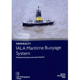
Nautical publications paper version
A paper nautical guide is essential documentation for planning coastal navigation, a cruise, passage or stopover. It provides practical information on ports, anchorages, channels, approaches, navigation marks, currents, tides, port services and local features. Depending on the area covered, it may include the English Channel, North Sea, Baltic Sea, Atlantic Ocean, Mediterranean Sea, Caribbean, Indian Ocean or Pacific Ocean, with ports such as Brest, Saint-Malo, Cherbourg, La Rochelle, Marseille, Gibraltar, Lisbon, Las Palmas, Fort-de-France or Papeete. For comprehensive route planning, a paper nautical guide complements nautical charts from Shom, Admiralty, Imray or NV Charts, as well as sailing directions and pilot books. Easy to consult on board, it helps sailors plan stopovers, choose an anchorage, study port approaches and anticipate local conditions. It is suitable for recreational sailors, sailing and motorboat navigators, fishermen and maritime professionals.

 Click here to open our interactive map and select your charts

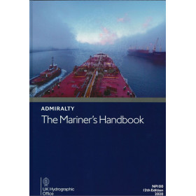
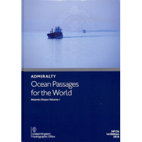
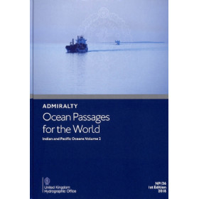
![Admiralty - NP247[1] - Annual Summary of Admirlaty Notice to Mariners Pt.1](https://www.nautic-way.com/80676-home_default/admiralty-np247-1-annual-summary-of-admirlaty-notice-to-mariners-pt1-maritime-bookshop-nautic-way.jpg)
![Admiralty - NP247[2] - Annual Summary of Admirlaty Notice to Mariners Pt.2](https://www.nautic-way.com/80678-home_default/admiralty-np247-2-annual-summary-of-admirlaty-notice-to-mariners-pt2-maritime-bookshop-nautic-way.jpg)