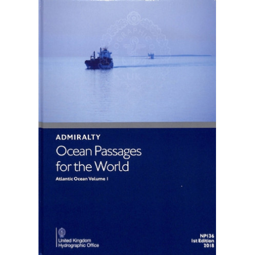




Navigate the Atlantic with precision using this nautical guide. Covers weather, currents, ice risks, and optimized routes, plus port distances and routing diagrams for all vessels.
Data sheet
Specific References
Navigate the Atlantic with Confidence Using the Definitive Maritime Planning Guide
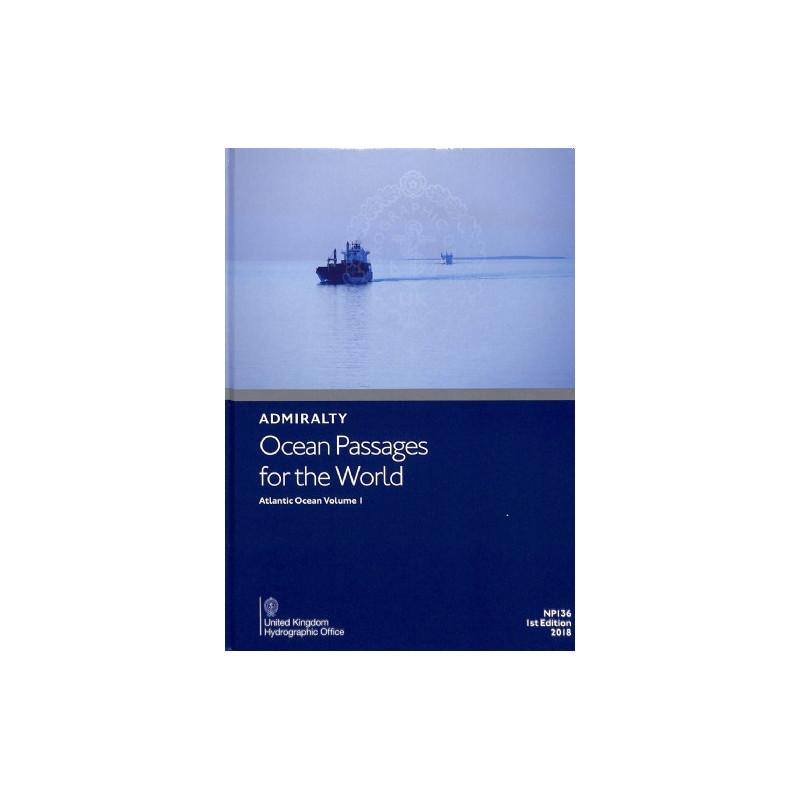
Ocean Passages for the World – Atlantic Ocean Volume 1 is the gold standard for professional mariners navigating the Atlantic’s vast and varied waters. This hardcover edition, published in 2026, delivers a wealth of critical data—from wind patterns and ocean currents to seasonal hazards and optimal routing—all tailored to the needs of commercial shipping, offshore operations, and long-distance sailing. Weighing 1.9 kg, this robust guide is built to endure the rigors of life at sea, ensuring reliable access to essential information when it matters most.
Precision-Engineered for Maritime Professionals
Designed by the United Kingdom Hydrographic Office, this third edition of the guide synthesizes decades of hydrographic expertise into a single, authoritative resource. It features detailed chapters on the Atlantic’s unique challenges, including ice hazards, tropical weather systems, and the interplay of currents and swells. With its hardcover durability and QR code integration for real-time updates via ADMIRALTY Notices to Mariners, this guide is a cornerstone of modern maritime planning.
Data-Driven Route Optimization for Every Vessel Type
Whether commanding a container ship, tanker, or sailing yacht, this guide provides the tools to plan the safest, most efficient routes. It includes port-to-port distance tables, routing diagrams, and chartlets that simplify complex navigation scenarios. By leveraging this guide, mariners can minimize fuel consumption, avoid weather-related delays, and ensure compliance with international maritime regulations—all while enhancing crew safety and operational efficiency.
This hardcover navigation guide, published in 2026, is the third edition of the definitive resource for Atlantic Ocean voyages. Weighing 1.9 kg, it is designed for durability and ease of use in maritime environments. The guide is written entirely in English and features a robust hardcover binding, QR code integration for real-time updates, and comprehensive data on winds, currents, weather, and routing for both motor and sailing vessels.
For over two centuries, the publisher behind this guide has set the global standard for hydrographic excellence. Renowned for its precision, reliability, and adherence to international maritime safety protocols, this organization’s publications are trusted by navies, commercial fleets, and professional mariners worldwide. Each edition reflects the latest advancements in oceanographic science and navigation technology, ensuring that users have access to the most accurate and up-to-date information available.
The nautical guide weighs 1.9 kg, making it suitable for onboard use without adding excessive bulk.
No, this edition is only available in English.
This is the 3rd edition, published in 2026.
Yes, it provides routing diagrams, chartlets, and port distances for both motor and sailboats.
Yes, it includes ADMIRALTY QR codes for accessing Notices to Mariners updates.
This volume covers the Atlantic Ocean, including detailed data on weather, currents, and seasonal factors.
Yes, it features a hardcover binding designed for durability in onboard conditions.
You might also like