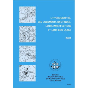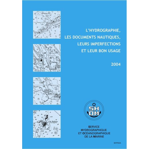





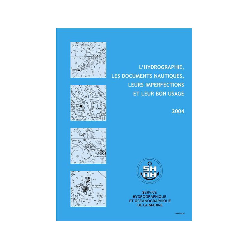
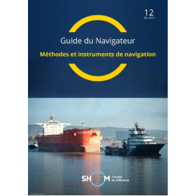
Ensure safer navigation with this expert guide on hydrographic surveys, nautical documents, and their limitations. Discover best practices, GPS integration, and electronic chart usage for mariners.
Data sheet
Specific References
Master the complexities of hydrography and nautical documentation with this authoritative digital guide. Designed for professionals in the merchant marine, this resource delivers critical insights into hydrographic surveys, their precision, and inherent limitations. Equip yourself with the expertise to interpret and utilize nautical documents effectively, ensuring safer voyages and minimizing risks at sea.
This digital guide is tailored for maritime professionals who demand precision and reliability. With a focus on practical application, it bridges the gap between theoretical knowledge and real-world navigation challenges. The content is structured to provide actionable insights, making it an indispensable tool for captains, navigators, and maritime training programs.
Ideal for merchant marine professionals seeking to enhance their navigational skillsPerfect for training programs and maritime academiesSupports compliance with international maritime safety standardsRegular updates ensure you stay informed about the latest advancements in hydrographyPublished in 2004 and updated to GAN 12/40, this guide remains a timeless reference for maritime professionals. Its unlimited validity ensures that the foundational principles of hydrography and nautical documentation remain relevant, regardless of technological advancements. Whether you're navigating coastal waters or open seas, this guide provides the confidence and clarity needed to make informed decisions.
Elevate Your Navigation Expertise with This Authoritative Digital Guide
Unlock the secrets of hydrography and nautical documentation with this essential digital resource. Designed for professionals in the merchant marine, this guide provides a deep dive into hydrographic surveys, their precision, and the inherent imperfections of nautical documents. With 38 pages of expertly curated content, it equips navigators with the knowledge to interpret and utilize nautical charts effectively, ensuring safer and more efficient voyages.
Master the Art of Nautical Documentation
This guide goes beyond basic navigation principles by offering practical rules and advice for the proper use of nautical documents. Learn how to identify and mitigate the risks associated with inaccuracies in charts, and discover best practices for integrating GPS and electronic charts into your navigation strategy. The inclusion of real-world case studies, such as groundings and hull damages, provides invaluable insights into avoiding common maritime accidents.
Designed for Professionals, by Experts
Published in 2004 and updated to GAN 12/40, this digital guide is a trusted resource for maritime professionals worldwide. Its unlimited validity ensures that the foundational knowledge remains relevant, while its digital format allows for easy access and portability. Whether you're a seasoned captain or a maritime trainee, this guide is an indispensable tool for enhancing your navigational skills and ensuring compliance with international safety standards.
Seamless Digital Experience
Enjoy the convenience of a digital format with this PDF guide, which can be accessed on up to 5 devices per purchase. Delivered via download link, WeTransfer, or compressed file, it ensures quick and easy access to critical information. Plus, benefit from free updates for one year, keeping your knowledge up-to-date with the latest advancements in hydrography and nautical documentation.
This digital guide is meticulously crafted to meet the needs of maritime professionals. Published in 2004 and updated to GAN 12/40, it spans 38 pages of in-depth content, covering hydrographic surveys, nautical document usage, and case studies of maritime accidents. Delivered in PDF format, it weighs 1.5 kg and measures 18.6 x 26.6 cm, offering a portable and accessible resource for navigators. With unlimited validity and free updates for one year, it remains a timeless reference for safe and efficient navigation.
With a legacy rooted in maritime excellence, this publisher is a leading authority in hydrography and nautical documentation. Renowned for its precision and expertise, it provides essential resources for professionals in the merchant marine, ensuring safer and more informed navigation. Trusted by maritime academies and industry leaders, its publications are designed to meet the highest standards of accuracy and reliability.
The PDF file weighs approximately 1.5 kg in total, though the exact digital file size may vary slightly depending on the compression method used for delivery.
The PDF can be installed and used on up to 5 different computer workstations per purchase.
Yes, free updates are provided for one year following the purchase date.
The printed version measures 18.6 x 26.6 cm, though the digital PDF does not require physical storage space.
No, the guide is currently only available in French.
The digital version is delivered via a download link, WeTransfer, or as a compressed file, depending on the chosen delivery method.
You might also like











![Admiralty - NP247[1] - Annual Summary of Admirlaty Notice to Mariners Pt.1](https://www.nautic-way.com/80676-home_default/admiralty-np247-1-annual-summary-of-admirlaty-notice-to-mariners-pt1-maritime-bookshop-nautic-way.jpg)
![Admiralty - NP247[2] - Annual Summary of Admirlaty Notice to Mariners Pt.2](https://www.nautic-way.com/80678-home_default/admiralty-np247-2-annual-summary-of-admirlaty-notice-to-mariners-pt2-maritime-bookshop-nautic-way.jpg)
![Admiralty - eNP247[1] - Annual Summary of Admirlaty Notice to Mariners Pt.1](https://www.nautic-way.com/80716-home_default/admiralty-enp247-1-annual-summary-of-admirlaty-notice-to-mariners-pt1-maritime-bookshop-nautic-way.jpg)
![Admiralty - eNP247[2] - Annual Summary of Admirlaty Notice to Mariners Pt.2](https://www.nautic-way.com/80718-home_default/admiralty-enp247-2-annual-summary-of-admirlaty-notice-to-mariners-pt2-maritime-bookshop-nautic-way.jpg)