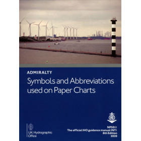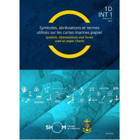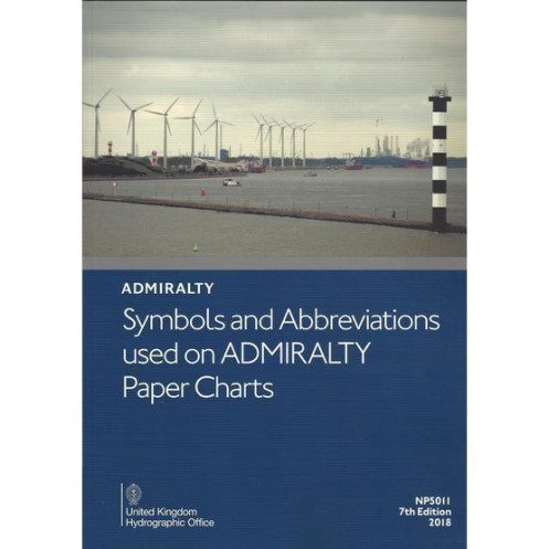





A must-have digital reference for interpreting chart symbols and abbreviations on paper and INT charts. Clear, color-illustrated, and updated for precise maritime navigation.
Data sheet
Specific References
Navigating the world’s oceans demands precision, and understanding the symbols and abbreviations on nautical charts is non-negotiable. The Symbols and Abbreviations Used on Admiralty Paper Charts – eNP5011 is your definitive digital reference, designed to ensure seamless interpretation of Admiralty and INT (International Chart Series) paper charts. Whether you're a seasoned mariner, a maritime professional, or a navigation enthusiast, this guide is your key to unlocking the language of the sea.
In the fast-paced world of maritime navigation, accuracy and efficiency are paramount. The Symbols and Abbreviations Used on Admiralty Paper Charts – eNP5011 eliminates guesswork, providing a clear, standardized reference that enhances safety and confidence at sea. Whether you're plotting a course, conducting a risk assessment, or simply expanding your nautical knowledge, this guide is an indispensable tool for anyone who relies on Admiralty paper charts.
Don’t let unfamiliar symbols slow you down. Equip yourself with the knowledge to navigate with precision—add this essential digital guide to your collection today.
Navigate with Confidence Using the Ultimate Digital Reference for Admiralty Charts
In the complex world of maritime navigation, every symbol and abbreviation on a nautical chart tells a story—one that can mean the difference between a safe voyage and a costly mistake. The Symbols and Abbreviations Used on Admiralty Paper Charts – eNP5011 is the definitive digital guide designed to decode the language of the sea, ensuring you can interpret Admiralty and INT (International Chart Series) paper charts with absolute precision. This 9th edition, updated for 2026, is your go-to resource for mastering the visual and textual elements that define modern navigation.
A Digital Powerhouse for Modern Mariners
Gone are the days of flipping through bulky paper manuals. The eNP5011 brings the trusted content of the Admiralty NP5011 into a sleek, digital format, optimized for PCs running Windows 7 and later. Weighing in at just 1 lb, this A4-sized guide is packed with full-color illustrations and detailed explanations, covering everything from hydrographic and topographic symbols to navigation aids and essential abbreviations. Whether you're a captain, a maritime student, or a navigation officer, this guide ensures you have the knowledge you need at your fingertips—no matter where your journey takes you.
Stay Current with Weekly Electronic Updates
Navigation is an ever-evolving field, and staying up-to-date is critical. The eNP5011 is designed to grow with you, offering seamless electronic updates via Notices to Mariners. This means you’ll always have the latest information on chart symbols, abbreviations, and maritime regulations, ensuring your navigation practices remain compliant and accurate. With this guide, you’re not just purchasing a static resource—you’re investing in a dynamic tool that evolves alongside the maritime industry.
Built on a Legacy of Maritime Excellence
Published by the United Kingdom Hydrographic Office, the eNP5011 is backed by centuries of expertise in maritime navigation. This digital guide is part of a long tradition of providing mariners with the most accurate, reliable, and up-to-date resources available. Whether you're navigating coastal waters or crossing oceans, you can trust that this guide adheres to the highest standards of accuracy and clarity, making it an indispensable part of your digital navigation toolkit.
The Symbols and Abbreviations Used on Admiralty Paper Charts – eNP5011 is a digital publication designed for precision and convenience. This A4-format guide, now in its 9th edition (2026), is fully compatible with PCs running Windows 7 or later. Weighing just 1 lb, it offers full-color illustrations and covers all symbols and abbreviations used on Admiralty and INT paper charts. Updated weekly via electronic Notices to Mariners, this guide ensures you always have the most current information at your disposal.
With a legacy spanning over two centuries, the publisher behind this guide is a global leader in maritime navigation and hydrographic services. Renowned for its accuracy, reliability, and innovation, this organization sets the standard for nautical publications, ensuring mariners worldwide have access to the most trusted and up-to-date resources for safe and efficient navigation.
This digital publication is compatible only with PCs running Windows 7 and later versions.
Updates are provided weekly via Notices to Mariners and are applicable electronically.
It covers hydrographic symbols (seabed nature and conditions), topographic features (natural and artificial), aids to navigation, services, and key abbreviations used on charts.
No, this publication is available only in English.
The printed version of this guide weighs approximately 1 lb.
Yes, once downloaded, the digital publication can be accessed and used offline on a compatible PC.
This is the 9th edition, with a publication year of 2026.
You might also like












![Admiralty - NP247[1] - Annual Summary of Admirlaty Notice to Mariners Pt.1](https://www.nautic-way.com/80676-home_default/admiralty-np247-1-annual-summary-of-admirlaty-notice-to-mariners-pt1-maritime-bookshop-nautic-way.jpg)
![Admiralty - NP247[2] - Annual Summary of Admirlaty Notice to Mariners Pt.2](https://www.nautic-way.com/80678-home_default/admiralty-np247-2-annual-summary-of-admirlaty-notice-to-mariners-pt2-maritime-bookshop-nautic-way.jpg)


![Admiralty - eNP247[1] - Annual Summary of Admirlaty Notice to Mariners Pt.1](https://www.nautic-way.com/80716-home_default/admiralty-enp247-1-annual-summary-of-admirlaty-notice-to-mariners-pt1-maritime-bookshop-nautic-way.jpg)
![Admiralty - eNP247[2] - Annual Summary of Admirlaty Notice to Mariners Pt.2](https://www.nautic-way.com/80718-home_default/admiralty-enp247-2-annual-summary-of-admirlaty-notice-to-mariners-pt2-maritime-bookshop-nautic-way.jpg)