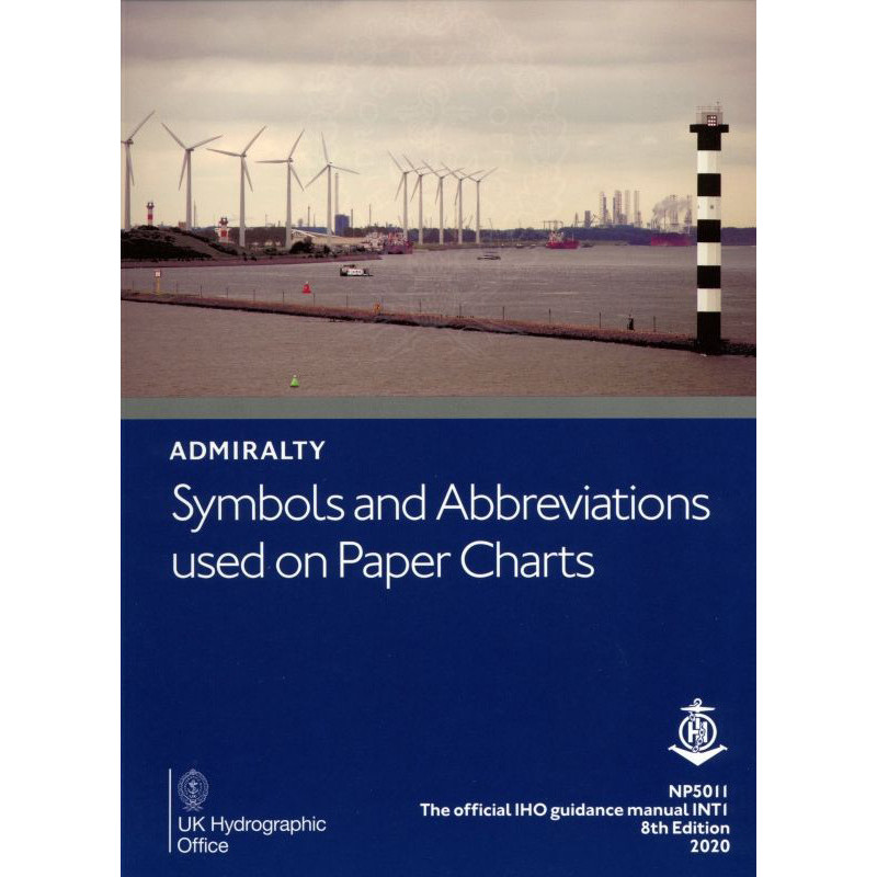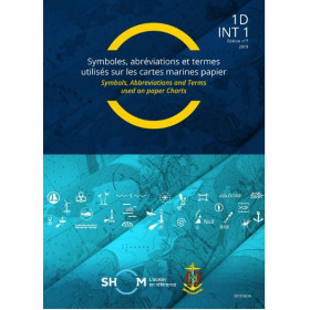




Decode nautical chart symbols and abbreviations with this practical A4 guide. It covers hydrography, topography, and navigation aids, ensuring accurate and confident chart reading for mariners.
Data sheet
Specific References
Unlock the Language of Nautical Charts with the Definitive Guide to Admiralty Symbols and Abbreviations
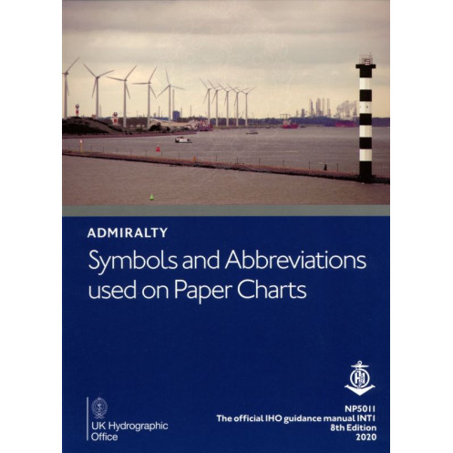
Navigating the world’s oceans demands precision, and understanding the symbols and abbreviations on nautical charts is critical to safe and efficient maritime operations. The *Symbols and Abbreviations Used on Admiralty Paper Charts – NP5011* is the official reference publication that decodes the complex markings found on Admiralty and international INT series charts. Whether you're a commercial mariner, naval officer, or hydrographic professional, this guide ensures you can interpret every detail with confidence and accuracy.
Comprehensive and Authoritative Content for Global Navigation
This A4-sized paperback guide provides a complete breakdown of the symbols and abbreviations used in maritime charting, covering everything from hydrographic features like seabed composition and depth contours to topographic elements such as coastlines, landmarks, and man-made structures. It also includes detailed explanations of navigation aids, including buoys, beacons, lights, and radio signals, as well as standardized abbreviations for both English and foreign charts. With full-color illustrations and clear, concise descriptions, this publication is designed to be an easy-to-use reference for professionals working in any maritime environment.
Built for the Demands of Professional Mariners
Weighing just 1 lb, this lightweight yet durable guide is built to withstand the rigors of life at sea. Its practical format makes it ideal for use on the bridge, in the chartroom, or during training exercises. The 2026 edition reflects the latest updates in charting conventions and maritime safety standards, ensuring you have the most current information at your fingertips. Whether you're plotting a course, conducting a hydrographic survey, or training the next generation of mariners, this publication is an essential tool for maintaining compliance with international maritime regulations and enhancing navigational safety.
This essential maritime reference guide is presented in a practical A4 paperback format, making it easy to store and use in any professional setting. The 2026 edition, published by the United Kingdom Hydrographic Office, weighs just 1 lb and is written entirely in English. It includes full-color illustrations and covers all symbols and abbreviations used on Admiralty paper charts and international INT series, ensuring global applicability for mariners and hydrographic professionals.
With a legacy spanning over two centuries, the publisher behind this guide is a globally recognized authority in maritime navigation and hydrography. Renowned for producing high-quality nautical publications, charts, and digital solutions, it sets the standard for accuracy and reliability in the maritime industry. Its products are trusted by commercial fleets, naval forces, and maritime training institutions worldwide, ensuring safety and compliance at sea.
The publication is presented in a practical A4 booklet format, making it easy to handle and reference.
Yes, it covers symbols and abbreviations used on both Admiralty paper charts and international INT series.
It includes hydrography, topography, navigation aids, services, key abbreviations from English and foreign charts, and general chart content information.
No, the guide is only available in English.
The publication weighs approximately 1 lb.
The latest edition (9th) is scheduled for publication in 2026, with the previous edition released in 2020.
You might also like