



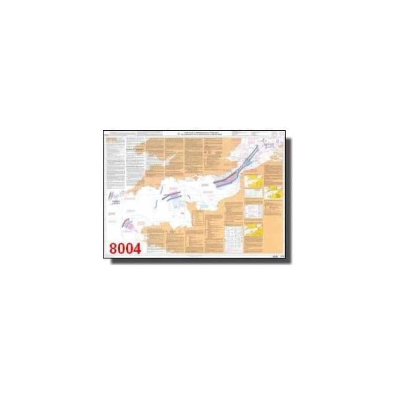
Essential A0 guide for navigating the English Channel and southern North Sea. Features detailed 1:704,800 scale charts, WGS84 data, and key preparation tips for a seamless voyage.
Data sheet
Specific References
Master the English Channel and Southern North Sea with Confidence
Navigating the English Channel and southern North Sea demands precision, expertise, and the right tools. This essential guide delivers everything maritime professionals need to plan and execute safe, efficient crossings in one of the world’s most complex and high-traffic maritime regions. Designed for ship captains, maritime pilots, and fleet operators, it combines detailed cartographic data with practical insights to ensure optimal route planning and risk management.
Unmatched Cartographic Precision for Critical Waterways
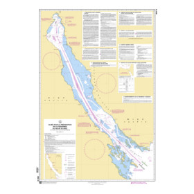
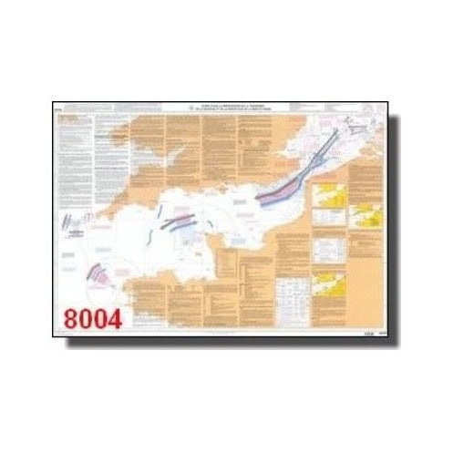
At the heart of this guide are its large-scale charts, presented at a 1:704,800 scale and spanning the expansive A0 format. These charts provide a comprehensive view of the English Channel and southern North Sea, highlighting bathymetry, coastal features, and navigational hazards with exceptional clarity. Built on the WGS84 geodetic system, the data aligns seamlessly with modern GPS and electronic charting systems, ensuring accuracy and compatibility for today’s maritime operations.
Strategic Insights for Safe and Efficient Navigation
Beyond charts, this guide offers critical insights for strategic planning, including tidal patterns, weather routing, and traffic separation schemes. It equips navigators with the knowledge to anticipate challenges, comply with international regulations, and optimize voyage efficiency. Whether used for pre-voyage briefings or onboard reference, it is an invaluable resource for mitigating risks and enhancing operational safety.
Built for the Demands of Professional Maritime Use
Printed on durable, high-quality paper, this guide is designed to withstand the rigors of maritime environments. Its A0 format ensures readability and ease of use, even in challenging conditions, while its 1.5 kg weight makes it portable without sacrificing robustness. Updated with the latest available data, it reflects the most current hydrographic and oceanographic standards, making it a trusted companion for professionals who prioritize accuracy and reliability.
This guide is a printed publication in French, released in 2018, featuring A0-sized charts at a 1:704,800 scale. It utilizes the WGS84 geodetic system for precise navigation and weighs 1.5 kg, making it both durable and practical for professional maritime use.
With a legacy rooted in hydrography and oceanography, this organization is a global leader in providing accurate, reliable, and up-to-date maritime data. Its publications are trusted by professionals worldwide for their precision, technical rigor, and commitment to enhancing navigational safety and efficiency.
The guide includes maps at a scale of 1:704,800, providing detailed coverage for navigation planning.
Yes, it provides essential information for preparing crossings, making it useful for all levels of navigators.
The maps use the WGS84 geodetic system, ensuring compatibility with modern navigation tools.
The guide is in A0 format, which measures 841 x 1189 mm when fully unfolded.
The most recent edition was published on April 24, 2026.
Yes, it covers both the English Channel and the southern part of the North Sea.
You might also like













![Admiralty - NP247[1] - Annual Summary of Admirlaty Notice to Mariners Pt.1](https://www.nautic-way.com/80676-home_default/admiralty-np247-1-annual-summary-of-admirlaty-notice-to-mariners-pt1-maritime-bookshop-nautic-way.jpg)
![Admiralty - NP247[2] - Annual Summary of Admirlaty Notice to Mariners Pt.2](https://www.nautic-way.com/80678-home_default/admiralty-np247-2-annual-summary-of-admirlaty-notice-to-mariners-pt2-maritime-bookshop-nautic-way.jpg)

![Admiralty - eNP247[1] - Annual Summary of Admirlaty Notice to Mariners Pt.1](https://www.nautic-way.com/80716-home_default/admiralty-enp247-1-annual-summary-of-admirlaty-notice-to-mariners-pt1-maritime-bookshop-nautic-way.jpg)
![Admiralty - eNP247[2] - Annual Summary of Admirlaty Notice to Mariners Pt.2](https://www.nautic-way.com/80718-home_default/admiralty-enp247-2-annual-summary-of-admirlaty-notice-to-mariners-pt2-maritime-bookshop-nautic-way.jpg)