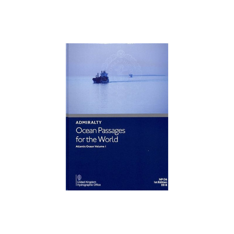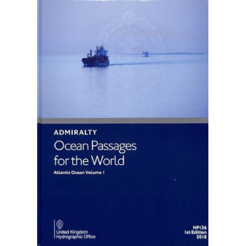



Admiralty - eNP136(1) - Ocean Passages for the World - Atlantic Ocean Volume 1
search
  • googlemap
  • Admiralty - eNP136(1) - Ocean Passages for the World - Atlantic Ocean Volume 1

Admiralty - eNP136(1) - Ocean Passages for the World - Atlantic Ocean Volume 1

€109.35
Tax included
Admiralty - United Kingdom Hydrographic Office
Chart or book in digital version In English language
Book programmed to order
Estimated preparation time: 0 to 3 days

Optimize Atlantic voyages with this digital guide. Covers routes, weather, currents, and hazards for motor and sail vessels, plus key details for the Caribbean and Mediterranean.

eNP136(1)

Data sheet

Who is the publisher or the author?
Admiralty
On what digital medium is this nautical chart / book stored?
digital medium
download
What type of navigation book is this?
general guides
Picto
Chart or book in digital version
In English language

Specific References

UPC
400000134536
EAN13
9780707746227
New
Book programmed to order
Description détaillée

Ocean Passages for the World – Atlantic Ocean Volume 1

Publication in English
Digital publication readable only on PC with Windows 7 and later

Your Essential Digital Guide for Atlantic Ocean Voyages

Navigate the Atlantic with confidence using this comprehensive digital guide, designed for mariners planning ocean passages. Whether you're crossing the open seas, exploring the Caribbean, or sailing into the Mediterranean, this publication delivers expertly curated routes, weather insights, and critical navigational data to ensure safe and efficient voyages. Perfect for both motor and sail vessels, it’s the ultimate tool for modern seafarers.

Why Choose This Digital Navigation Resource?

  • Trusted by Professionals: Developed by leading maritime experts, this guide is a staple for commercial and recreational mariners worldwide, offering unmatched reliability for ocean passage planning.
  • Up-to-Date and Dynamic: With weekly updates via Electronic Notices to Mariners (NMs), you’ll always have the latest information on hazards, route changes, and environmental conditions—applied in seconds to keep your data current.
  • Tailored for the Atlantic: Focused exclusively on the Atlantic Ocean, including the Caribbean and Mediterranean, this volume provides region-specific insights, from seasonal weather patterns to optimal shipping lanes.
  • Optimized for Efficiency: Streamline your voyage planning with pre-calculated routes between major ports, reducing preparation time and enhancing onboard decision-making for bridge crews.
  • Digital Convenience: Accessible via the ADMIRALTY e-Reader software, this digital format eliminates the need for physical updates, ensuring your navigation data is always at your fingertips—no more bulky paper charts.

What’s Inside?

  • Detailed Route Planning: Step-by-step guidance for motor and sail vessels, including the shortest and safest paths between key ports and waypoints.
  • Environmental Intelligence: In-depth analysis of winds, currents, swells, and seasonal factors, helping you anticipate and adapt to changing conditions.
  • Hazard Awareness: Critical information on ice dangers, shallow waters, and other navigational risks, ensuring you avoid potential threats to your vessel and crew.
  • Climate and Weather Insights: Expert advice on regional weather patterns, enabling you to plan voyages during optimal conditions and avoid adverse scenarios.
  • Seamless Updates: Weekly Electronic Notices to Mariners (NMs) ensure your guide remains accurate, with updates applied in just seconds—no manual corrections required.

Designed for Modern Mariners

This digital publication is more than just a guide—it’s a dynamic tool built for the demands of today’s maritime industry. Whether you’re a commercial captain, a yacht owner, or a maritime professional, it provides the precision and reliability needed to navigate the Atlantic’s vast and varied waters. With its user-friendly interface and real-time updates, it’s the smart choice for those who prioritize safety, efficiency, and accuracy.

Who Should Use This Guide?

  • Commercial Shipping: Optimize routes for cargo vessels, tankers, and container ships, reducing fuel consumption and transit times.
  • Recreational Sailors: Plan leisurely voyages with confidence, whether you’re crossing the Atlantic or exploring the Caribbean’s stunning coastlines.
  • Maritime Training: An invaluable resource for nautical schools and training programs, providing real-world data for aspiring mariners.
  • Bridge Crews: Enhance onboard decision-making with accurate, up-to-date information that supports safe and efficient navigation.

Stay Ahead of the Curve

In the ever-changing maritime environment, having the right information at the right time is crucial. This digital guide ensures you’re always prepared, with weekly updates that reflect the latest navigational changes and environmental conditions. Say goodbye to outdated paper charts and embrace the future of digital navigation—where precision meets convenience.

Master the Atlantic with the Ultimate Digital Navigation Guide
Planning an ocean passage across the Atlantic? This digital navigation publication is your go-to resource for safe, efficient, and well-informed voyages. Designed for mariners navigating the Atlantic Ocean, including the Caribbean and Mediterranean, it provides a wealth of data to help you chart the best course—whether you're commanding a motor vessel or sailing a yacht. With weekly updates and expert insights, it’s the most reliable tool for modern seafaring.

Precision Planning for Every Voyage
This guide offers meticulously detailed routes tailored for both motor and sail vessels, ensuring you can plan the shortest and safest paths between major ports and critical waypoints. It includes comprehensive chapters on the Atlantic, covering essential factors like winds, weather, climate, seasonal variations, currents, swells, and ice hazards. With this information at your fingertips, you can make informed decisions that enhance safety and efficiency for your crew and vessel.

Dynamic Updates for Real-Time Accuracy
Stay ahead of the curve with weekly Electronic Notices to Mariners (NMs) that keep your navigation data current. Updates are applied in seconds, eliminating the need for manual corrections and ensuring you always have the latest information. This digital format, compatible with the ADMIRALTY e-Reader software on Windows 7 and later, offers unparalleled convenience and reliability for mariners on the go.

Built for Professionals and Enthusiasts Alike
Whether you're a commercial captain, a recreational sailor, or a maritime training professional, this guide is designed to meet your needs. It provides the tools to optimize routes, reduce fuel consumption, and avoid navigational hazards, making it an indispensable resource for anyone navigating the Atlantic’s challenging waters. With its focus on accuracy and ease of use, it’s the smart choice for those who demand the best in digital navigation.

This digital navigation guide is designed for precision and convenience, offering weekly updates via Electronic Notices to Mariners (NMs) that are applied in seconds. Compatible with the ADMIRALTY e-Reader software on Windows 7 and later, it provides an annual individual license for seamless access. The 3rd Edition (2026) delivers comprehensive route planning, environmental insights, and hazard awareness for the Atlantic Ocean, including the Caribbean and Mediterranean.

With a legacy of excellence in maritime navigation, this publisher is a global leader in providing accurate, reliable, and up-to-date nautical information. Trusted by professionals and enthusiasts alike, their digital publications are designed to enhance safety, efficiency, and precision for mariners navigating the world’s oceans.

  • Comprehensive digital guide for Atlantic Ocean navigation, including the Caribbean and Mediterranean.
  • Weekly updates via Electronic Notices to Mariners (NMs) for real-time accuracy.
  • Detailed route planning for motor and sail vessels, optimizing safety and efficiency.
  • Expert insights on winds, weather, currents, swells, and seasonal factors.
  • Hazard awareness, including ice dangers and shallow waters, to avoid navigational risks.
  • User-friendly digital format compatible with ADMIRALTY e-Reader software on Windows 7 and later.
  • Annual individual license for seamless access and updates.
  • Ideal for commercial shipping, recreational sailing, and maritime training.
What areas of the Atlantic Ocean does this volume cover?

This volume covers the Atlantic Ocean, including the Caribbean Sea and the Mediterranean, providing detailed routing information for ocean passages in these regions.

Is this publication suitable for both motor and sailing vessels?

Yes, it includes specific route details and planning advice for both motor and sailing vessels navigating the covered areas.

How often are updates released for this digital publication?

Updates in the form of Electronic Notices to Mariners (NMs) are released weekly and can be downloaded to keep the publication current.

What software is required to use this digital publication?

It requires the ADMIRALTY e-Reader software, which is compatible with Windows 7 and later versions.

Can this publication be used on multiple devices with a single license?

No, the license is individual and annual, meaning it is valid for use on one device per license.

What type of information is included about weather and sea conditions?

It provides details on winds, weather patterns, seasonal factors, currents, swell, and ice hazards relevant to the Atlantic Ocean and adjacent seas.

How are updates applied to this digital publication?

Updates are downloaded and applied automatically within a few seconds through the ADMIRALTY e-Reader software.

Loading...