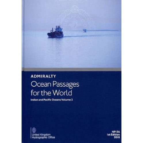





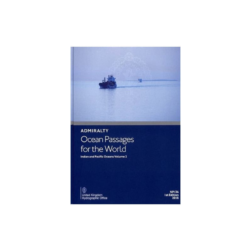
Essential digital guide for ocean voyage planning across the Indian and Pacific Oceans. Covers routes, weather, currents, and hazards for motor and sail vessels. Updated weekly for accuracy.
Data sheet
Specific References
Navigate the vast expanse of the Indian and Pacific Oceans with confidence using this comprehensive digital guide. Designed for mariners, shipping professionals, and sailing enthusiasts, this publication delivers unparalleled insights into ocean passages, ensuring safe, efficient, and well-informed voyages. Whether you're charting a course for commercial shipping or a long-distance sailing adventure, this guide is your trusted companion for deep-sea navigation.
Unlock the Secrets of the Indian and Pacific Oceans with This Digital Navigation Masterpiece
Embark on your next maritime journey with the confidence that only comes from having the most comprehensive and up-to-date navigation data at your disposal. This digital guide is the ultimate resource for mariners navigating the Indian and Pacific Oceans, offering a wealth of information tailored to both motor and sailing vessels. Whether you're a seasoned captain or a passionate sailor, this guide provides the tools you need to plan safe, efficient, and successful voyages.
Comprehensive Route Planning for Every Voyage
Dive into a treasure trove of route details designed to optimize your ocean passages. This guide covers the shortest and safest paths between major ports and key maritime positions, taking into account the unique challenges of the Indian and Pacific Oceans. With dedicated chapters for each ocean, you'll gain access to expert advice on winds, weather, climate, and seasonal factors, ensuring your voyage is planned with precision and care.
Stay Ahead with Real-Time Updates and Expert Insights
In the ever-changing world of maritime navigation, staying up-to-date is non-negotiable. This digital guide leverages the power of the ADMIRALTY e-Reader software to deliver weekly electronic Notices to Mariners (NMs), ensuring your data is always current. Updates are applied in seconds, eliminating the need for manual corrections and reducing the risk of errors. With this guide, you'll have the latest information on ocean currents, swell patterns, and ice hazards, allowing you to navigate with confidence and peace of mind.
Designed for Professionals and Enthusiasts Alike
Whether you're a commercial fleet manager, a naval officer, or a long-distance sailor, this guide is your go-to resource for deep-sea planning. Its digital format ensures quick and easy access to critical information, making it an indispensable tool for both professional and recreational use. Compatible with Windows 7 and later, this guide offers the flexibility to plan your voyages from the comfort of your home or the bridge of your vessel.
This digital navigation guide is designed to provide mariners with the most accurate and up-to-date information for planning ocean passages in the Indian and Pacific Oceans. Available in English, this 3rd edition (2026) is delivered in a digital format that is compatible with the ADMIRALTY e-Reader software, ensuring seamless access to weekly electronic Notices to Mariners (NMs) for real-time updates. The guide is licensed for individual annual use and is optimized for on-board voyage planning, offering a reliable and efficient solution for mariners worldwide.
With a legacy spanning centuries, this publisher is a global leader in maritime navigation and hydrographic services. Renowned for its accuracy, reliability, and innovation, it provides mariners with the tools they need to navigate the world's oceans safely and efficiently. Its publications are trusted by professionals across the maritime industry, from commercial fleets to naval operations and recreational sailors.
The digital publication requires the ADMIRALTY e-Reader software, which is compatible only with PCs running Windows 7 or later versions.
The publication is updated weekly through electronic Notices to Mariners (NMs), with updates taking just a few seconds to apply.
Yes, it provides route details and planning information for both motor and sailing vessels navigating deep-sea passages.
This volume covers the Indian and Pacific Oceans, including detailed information on winds, weather, currents, seasonal factors, and hazards like ice.
Yes, once downloaded and installed via the ADMIRALTY e-Reader software, the guide can be used offline for onboard passage planning.
It includes an individual annual license, allowing use on a single device for one year.
You might also like












![Admiralty - NP247[1] - Annual Summary of Admirlaty Notice to Mariners Pt.1](https://www.nautic-way.com/80676-home_default/admiralty-np247-1-annual-summary-of-admirlaty-notice-to-mariners-pt1-maritime-bookshop-nautic-way.jpg)
![Admiralty - NP247[2] - Annual Summary of Admirlaty Notice to Mariners Pt.2](https://www.nautic-way.com/80678-home_default/admiralty-np247-2-annual-summary-of-admirlaty-notice-to-mariners-pt2-maritime-bookshop-nautic-way.jpg)

![Admiralty - eNP247[1] - Annual Summary of Admirlaty Notice to Mariners Pt.1](https://www.nautic-way.com/80716-home_default/admiralty-enp247-1-annual-summary-of-admirlaty-notice-to-mariners-pt1-maritime-bookshop-nautic-way.jpg)
![Admiralty - eNP247[2] - Annual Summary of Admirlaty Notice to Mariners Pt.2](https://www.nautic-way.com/80718-home_default/admiralty-enp247-2-annual-summary-of-admirlaty-notice-to-mariners-pt2-maritime-bookshop-nautic-way.jpg)