



Navigate the Indian Ocean with confidence using these precise distance tables, detailing the shortest routes between major ports. A must-have for safe and efficient maritime planning.
Data sheet
Specific References
Precision Navigation for the Indian Ocean and Beyond
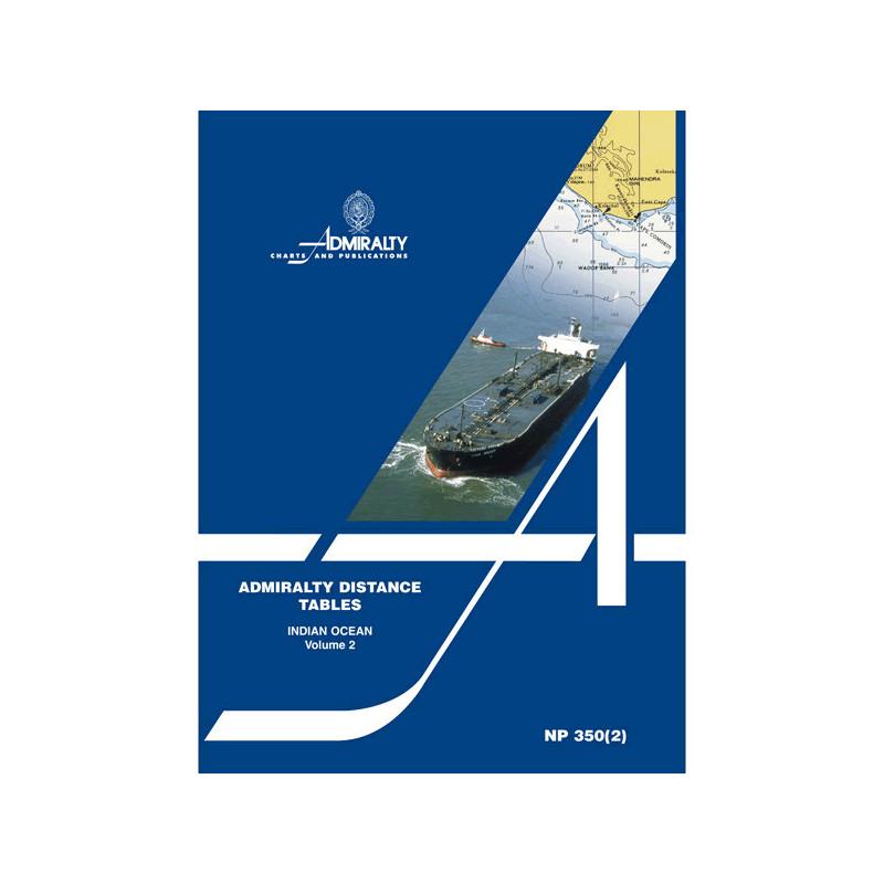
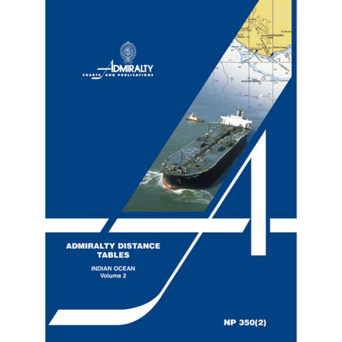
The NP350(2) – Distance Tables, Indian Ocean is a vital resource for maritime professionals navigating one of the world’s busiest and most complex maritime regions. This publication delivers the shortest distances in nautical miles between major ports across the Indian Ocean, the Southern Ocean from South Africa to New Zealand, the Red Sea, the Persian Gulf, and the Malay Archipelago. With data trusted by mariners for over a century, it ensures accurate and efficient route planning, reducing transit times and operational costs for commercial vessels.
Comprehensive Coverage for Strategic Decision-Making
Part of a three-volume series, the NP350(2) is tailored to provide focused and detailed distance calculations for the Indian Ocean region. It includes explanatory diagrams, supporting text, and connection tables for ports not listed in the same or adjacent tables, ensuring seamless navigation across vast maritime areas. Whether you're charting a course through high-traffic shipping lanes or remote waters, this publication equips you with the data needed to make informed, strategic decisions.
Built for Professional Use at Sea
Designed with durability and usability in mind, the NP350(2) is printed in a sturdy paperback format, weighing just 2 lb for easy handling and storage on board. Its clear, concise layout allows for quick reference, minimizing downtime and maximizing efficiency during voyages. Updated regularly to reflect the latest maritime data, this publication remains a cornerstone of professional navigation, trusted by shipping companies, vessel operators, and maritime professionals worldwide.
The NP350(2) – Distance Tables, Indian Ocean is a paperback publication providing the shortest navigable distances in nautical miles between major ports in the Indian Ocean, Southern Ocean (from South Africa to New Zealand), Red Sea, Persian Gulf, and Malay Archipelago. This 3rd edition, published in 2008, includes explanatory diagrams, supporting text, and connection tables for comprehensive route planning. Weighing 2 lb, it is designed for durability and ease of use in professional maritime environments.
With a legacy spanning over a century, this publisher is a global leader in maritime navigation resources, providing accurate and reliable data to professionals worldwide. Their publications are renowned for their precision, durability, and adherence to the highest industry standards, making them a trusted partner for commercial and naval operations across the globe.
The distance tables weigh 2 pounds.
They cover the Indian Ocean, part of the Southern Ocean from South Africa to New Zealand, the Red Sea, the Persian Gulf, and the Malay Archipelago.
Yes, the distances between ports are provided in nautical miles.
This is the 3rd edition, published in 2008, with content based on data from 2007.
Yes, they include linking tables for locations not appearing in the same or adjacent tables.
No, this publication is only available in paper format.
The series has been in publication since around 1911.
You might also like