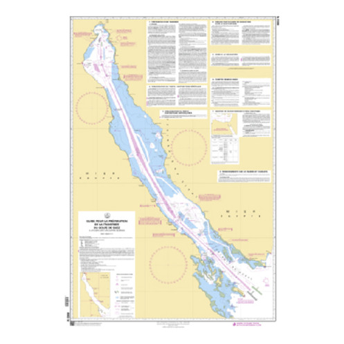





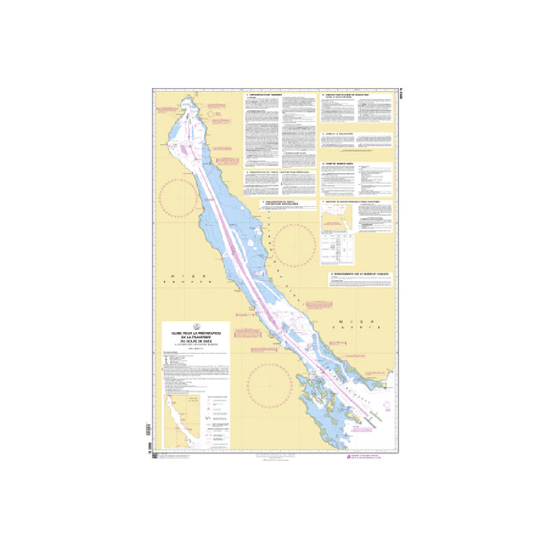
This A0 nautical chart, scaled 1:301,800, is your essential guide for traversing the Gulf of Suez. Printed on durable 150 gsm paper, it delivers accuracy and reliability for all mariners.
Data sheet
Specific References
Master the Suez Gulf with a Professional-Grade Navigation Guide
Designed for mariners who demand precision, this large-format navigation guide is your ultimate tool for planning and executing crossings of the Suez Gulf. With a scale of 1:301,800, it provides an unparalleled level of detail, ensuring safe and efficient navigation through one of the world’s most critical maritime corridors. Whether you're operating a commercial vessel, managing a fleet, or navigating for professional purposes, this guide delivers the accuracy and reliability needed to tackle the unique challenges of the region.
Engineered for Durability and Clarity
Printed on high-quality 150 g/m² paper, this guide is built to endure the demands of onboard use. Its expansive A0 format (approximately 36.0" x 45.0") offers ample space for annotations, route planning, and hazard identification, while the rolled delivery ensures easy storage and protection. Updated with the latest corrections at the time of printing, it reflects the most current navigational data, giving you the confidence to navigate with precision.
Compliant with International Maritime Standards
This guide adheres to SOLAS (Safety of Life at Sea) regulations, making it a trusted resource for professional mariners. It includes essential features such as depth markings, navigational aids, and route recommendations, ensuring compliance with global maritime safety standards. While this edition is no longer in production, its successor—the Admiralty BA 5501—continues to provide the same level of detail and reliability for Suez Gulf crossings.
This navigation guide is a large-format chart printed on durable 150 g/m² paper, offering a scale of 1:301,800 for precise route planning in the Suez Gulf. Measuring approximately 36.0" x 45.0" (A0 format), it is delivered rolled in a protective tube for easy storage. The chart covers critical areas including the Red Sea, Gulf of Aden, and surrounding waters, and is updated with the latest corrections at the time of printing to ensure accuracy.
With a legacy rooted in maritime expertise, this publisher is a leading authority in hydrographic and oceanographic services. Specializing in high-precision navigation tools, their products are trusted by professional mariners, commercial fleets, and maritime authorities worldwide. Each publication is designed to meet the highest standards of accuracy, reliability, and compliance with international maritime regulations.
The nautical chart is at a scale of 1:301,800, providing detailed coverage for navigation in the Gulf of Suez region.
The chart is delivered rolled in a tube to preserve its condition and prevent creasing.
The chart measures approximately 28.7 inches by 41.7 inches when fully unfolded.
The chart is printed on durable 150 g/m² paper, ensuring longevity and resistance to wear.
The chart is printed on demand and includes the latest corrections available up to July 19, 2019.
This chart covers the Gulf of Suez, as well as adjacent areas including the Gulfs of Aden and Oman, the Red Sea, and the Arabian Sea.
An equivalent chart is the Admiralty BA 5501 (Mariner's Routeing Guide Gulf of Suez), which serves as a recommended alternative.
You might also like












![Admiralty - NP247[1] - Annual Summary of Admirlaty Notice to Mariners Pt.1](https://www.nautic-way.com/80676-home_default/admiralty-np247-1-annual-summary-of-admirlaty-notice-to-mariners-pt1-maritime-bookshop-nautic-way.jpg)
![Admiralty - NP247[2] - Annual Summary of Admirlaty Notice to Mariners Pt.2](https://www.nautic-way.com/80678-home_default/admiralty-np247-2-annual-summary-of-admirlaty-notice-to-mariners-pt2-maritime-bookshop-nautic-way.jpg)


![Admiralty - eNP247[1] - Annual Summary of Admirlaty Notice to Mariners Pt.1](https://www.nautic-way.com/80716-home_default/admiralty-enp247-1-annual-summary-of-admirlaty-notice-to-mariners-pt1-maritime-bookshop-nautic-way.jpg)
![Admiralty - eNP247[2] - Annual Summary of Admirlaty Notice to Mariners Pt.2](https://www.nautic-way.com/80718-home_default/admiralty-enp247-2-annual-summary-of-admirlaty-notice-to-mariners-pt2-maritime-bookshop-nautic-way.jpg)