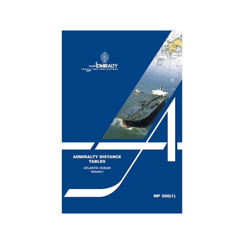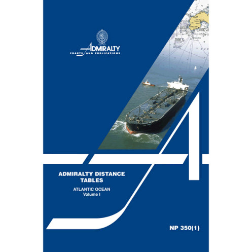


Admiralty - NP350(1) - Distance Tables, Atlantic Ocean
search
  • googlemap
  • Admiralty - NP350(1) - Distance Tables, Atlantic Ocean

Admiralty - NP350(1) - Distance Tables, Atlantic Ocean

€85.25
Tax included
Admiralty - United Kingdom Hydrographic Office
In English language
Estimated preparation time: 5 to 14 days

Plan smarter voyages with detailed distance tables for the Atlantic, Mediterranean, Caribbean, and Gulf of Mexico. Reliable data for precise navigation and efficient maritime operations.

NP350(1)

Data sheet

Who is the publisher or the author?
Admiralty
On what digital medium is this nautical chart / book stored?
paper medium
From which year does this nautical chart date?
2011
What type of navigation book is this?
general guides
What is the size?
paper medium
Picto
In English language

Specific References

UPC
400000131535
EAN13
4000000108863
New
Description détaillée

Distance Tables, Atlantic Ocean – NP350(1)

Publication in English
Paperback edition

Precision Navigation for Maritime Professionals

Optimize your voyage planning with the most trusted distance tables for the Atlantic Ocean. Designed for commercial mariners, shipping companies, and naval officers, this essential nautical publication delivers accurate, up-to-date distances between major ports across the North and South Atlantic, Northwest Europe, the Mediterranean, the Caribbean, and the Gulf of Mexico. No more guesswork—just reliable data to streamline route optimization, fuel calculations, and logistical decision-making.

Comprehensive Coverage for Strategic Planning

This volume is part of a three-part series, meticulously organized by region to provide the shortest nautical distances between ports. Whether navigating transatlantic routes, coastal passages, or regional hubs, these tables ensure you have the critical information needed for efficient voyage execution. Supporting diagrams and explanatory text enhance clarity, while cross-reference tables bridge distances for ports in non-adjacent regions, eliminating gaps in your planning process.

Engineered for Reliability and Durability

  • Published in 2012, this second edition reflects the latest maritime data and port configurations
  • Paperback format ensures durability and ease of use in onboard environments
  • Recognized by maritime professionals worldwide for its accuracy and practicality
  • Essential for compliance with international navigation standards and best practices
  • Trusted by shipping fleets, naval operations, and maritime training institutions

Why This Publication Belongs in Your Navigation Library

In an industry where time, fuel, and safety are paramount, the Distance Tables, Atlantic Ocean – NP350(1) stands as a cornerstone resource. It eliminates the need for manual calculations or reliance on outdated references, providing instant access to verified distances that directly impact operational efficiency. From voyage estimators to captains, this tool is indispensable for anyone responsible for planning, executing, or overseeing maritime journeys in the Atlantic basin and its adjacent waters.

Key Features for Professional Use

  • Region-specific organization for quick reference and reduced search time
  • Includes ports in high-traffic areas such as Rotterdam, New York, Gibraltar, and Houston
  • Supports compliance with SOLAS (Safety of Life at Sea) and other regulatory frameworks
  • Ideal for integration with electronic navigation systems as a cross-verification tool
  • Standardized format ensures consistency across the three-volume series

Master Your Atlantic Voyages with Unmatched Precision
When every nautical mile counts, the Distance Tables, Atlantic Ocean – NP350(1) delivers the accuracy maritime professionals demand. This essential nautical publication provides the shortest distances in nautical miles between key ports across the North and South Atlantic, Northwest Europe, the Mediterranean, the Caribbean, and the Gulf of Mexico—regions that form the backbone of global shipping and naval operations. Designed for commercial mariners, shipping companies, and naval officers, these tables are the gold standard for route planning, fuel estimation, and logistical coordination.

Engineered for Operational Excellence
Part of a three-volume series, this second edition (published in 2012) is meticulously organized by region to ensure quick, reliable access to critical data. Each table is supported by explanatory text and diagrams, while cross-reference tables bridge distances for ports in non-adjacent regions, eliminating gaps in your planning process. Whether you're navigating transatlantic routes, coastal passages, or regional hubs, this publication provides the verified data needed to optimize voyages, reduce fuel consumption, and enhance safety.

Built for the Demands of Professional Navigation
Weighing just 1.94 pounds, this paperback edition is designed for durability and ease of use in onboard environments. Its standardized format ensures consistency across the series, making it a trusted companion for shipping fleets, naval operations, and maritime training institutions. Recognized globally for its accuracy and practicality, the Distance Tables, Atlantic Ocean – NP350(1) is more than a reference—it's a strategic tool that directly impacts operational efficiency and compliance with international navigation standards.

The Distance Tables, Atlantic Ocean – NP350(1) is a paperback nautical publication, part of a three-volume series, covering the North and South Atlantic, Northwest Europe, the Mediterranean, the Caribbean, and the Gulf of Mexico. Published in 2012 as the second edition, this 1.94-pound volume includes region-specific distance tables, supporting diagrams, explanatory text, and cross-reference tables for ports in non-adjacent regions. It is written in English and designed for professional maritime use.

For over two centuries, this organization has set the global standard for nautical publications, providing mariners with accurate, reliable, and up-to-date navigational resources. Recognized by shipping fleets, naval forces, and maritime authorities worldwide, their publications are essential tools for safe and efficient navigation, trusted by professionals in every corner of the maritime industry.

  • Delivers verified nautical distances between major ports, eliminating guesswork in route planning
  • Region-specific organization ensures quick, efficient access to critical data
  • Supports compliance with SOLAS and other international maritime regulations
  • Durable paperback format designed for onboard use in demanding environments
  • Trusted by shipping companies, naval operations, and maritime training institutions worldwide
  • Enhances operational efficiency by reducing fuel consumption and voyage time
  • Cross-reference tables bridge distances for ports in non-adjacent regions, ensuring comprehensive coverage
What regions are included in this volume of distance tables?

This volume covers the North Atlantic Ocean, South Atlantic Ocean, Northwest Europe, the Mediterranean Sea, the Caribbean Sea, and the Gulf of Mexico.

How are the distances between ports calculated in these tables?

The distances are calculated in nautical miles and represent the shortest routes between various ports, organized by region.

Are there any additional resources included besides the distance tables?

Yes, it includes supporting diagrams, explanatory text, and cross-reference tables for ports located in non-adjacent tables.

Is this publication suitable for route planning in professional maritime navigation?

Yes, it is an essential nautical publication designed for navigation and route planning in professional maritime settings.

What is the weight of this paperback edition?

The paperback edition weighs 1.94 pounds.

Are the tables updated regularly, and how can I check for the latest edition?

The tables are periodically updated; this edition is the 2nd, published in 2012. Always verify the latest edition before use.

Loading...