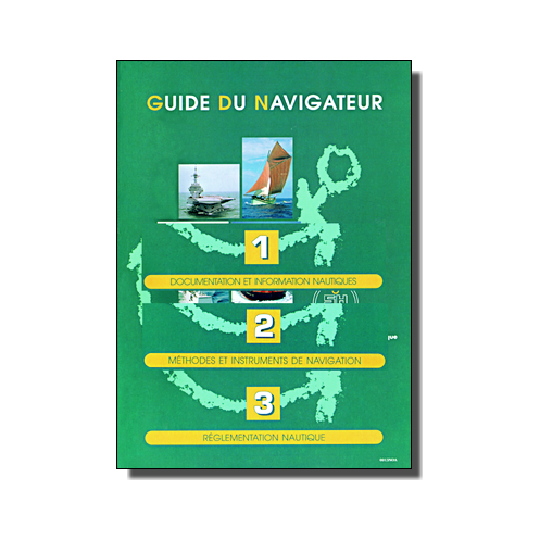




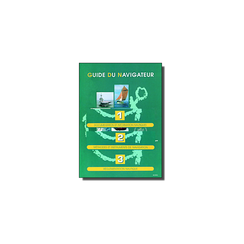
Navigate with confidence using this 3-volume set, detailing nautical charts, instruments, and maritime laws. Ideal for professionals, it ensures safe and informed voyages.
Data sheet
Specific References
Unlock Precision and Safety with the Ultimate Navigation Guide for Maritime Professionals
Designed for merchant marine professionals, this three-volume set is the cornerstone of modern navigation, offering an unparalleled depth of knowledge in nautical documentation, navigation techniques, and maritime regulations. Whether you're navigating coastal waters or the open sea, this guide provides the tools and insights needed to ensure accuracy, compliance, and safety at every turn.
Comprehensive Coverage for Every Aspect of Navigation
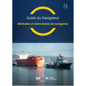
Volume 1 delves into nautical documentation, teaching you how to effectively use and update charts and publications while staying informed through Notices to Mariners. Volume 2 explores navigation methods and instruments, from traditional tools to cutting-edge electronic systems like GPS and electronic charts. Volume 3 compiles critical maritime regulations, including the Law of the Sea, collision prevention rules, and environmental protection measures, ensuring you stay compliant with global and local standards.
Enhanced with Essential Supplementary Manuals
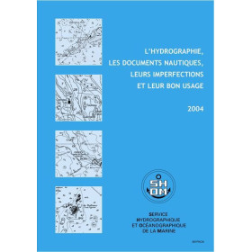
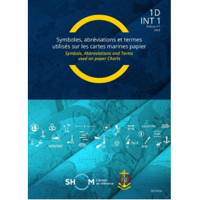
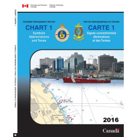
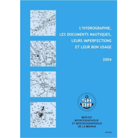
This set includes two additional manuals: "Symbols and Abbreviations on French Nautical Charts," which decodes the language of printed charts, and "Hydrography, Nautical Documents, and Their Proper Use," offering insights into hydrographic surveys, GPS limitations, and real-world case studies of maritime accidents. These resources provide the practical knowledge needed to navigate confidently and avoid common pitfalls.
Built for Durability and Reliability in Demanding Environments
Available in a printed format, this guide is designed to withstand the rigors of life at sea. Its physical durability ensures that critical information is always at your fingertips, even in challenging conditions. With a focus on clarity and usability, it’s the perfect companion for professionals who demand reliability and precision in their navigation tools.
This comprehensive navigation guide is presented in a printed format, spanning three volumes with a total of over 200 pages. Published in 2012, it includes the latest updates and corrections as of 2010, ensuring the information remains relevant and accurate. The set also features two supplementary manuals, "Symbols and Abbreviations on French Nautical Charts" and "Hydrography, Nautical Documents, and Their Proper Use," providing additional depth and practical insights for professional mariners.
With a legacy rooted in maritime expertise, this publisher is a trusted authority in hydrography and oceanography, providing essential resources for navigation and maritime safety. Their publications are recognized for their precision, reliability, and adherence to international standards, making them a go-to source for professionals in the maritime industry.
Volume 1 covers nautical documentation and information, including the use of charts and publications, updates, and data collection. Volume 2 focuses on navigation methods and instruments, while Volume 3 details maritime regulations, safety, and international organizations.
The included booklets, *Symbols and Abbreviations on French Nautical Charts* and *Hydrography, Nautical Documents, and Their Proper Use*, are bundled with this set and not sold separately.
No, this edition is only available in paper format.
Updates are provided through correction fascicles, with the latest being fascicle No. 10 from 2010. No newer updates have been released since.
The guide and all included booklets are written in French.
Yes, it covers the use of GPS, electronic charts, and their limitations, along with case studies of navigation accidents.
Yes, Volume 3 includes regulations on marine environmental preservation, along with maritime safety and traffic organization rules.
You might also like














![Admiralty - NP247[1] - Annual Summary of Admirlaty Notice to Mariners Pt.1](https://www.nautic-way.com/80676-home_default/admiralty-np247-1-annual-summary-of-admirlaty-notice-to-mariners-pt1-maritime-bookshop-nautic-way.jpg)
![Admiralty - NP247[2] - Annual Summary of Admirlaty Notice to Mariners Pt.2](https://www.nautic-way.com/80678-home_default/admiralty-np247-2-annual-summary-of-admirlaty-notice-to-mariners-pt2-maritime-bookshop-nautic-way.jpg)





![Admiralty - eNP247[1] - Annual Summary of Admirlaty Notice to Mariners Pt.1](https://www.nautic-way.com/80716-home_default/admiralty-enp247-1-annual-summary-of-admirlaty-notice-to-mariners-pt1-maritime-bookshop-nautic-way.jpg)
![Admiralty - eNP247[2] - Annual Summary of Admirlaty Notice to Mariners Pt.2](https://www.nautic-way.com/80718-home_default/admiralty-enp247-2-annual-summary-of-admirlaty-notice-to-mariners-pt2-maritime-bookshop-nautic-way.jpg)