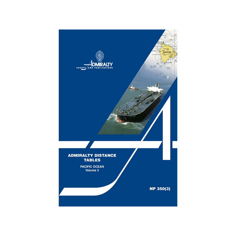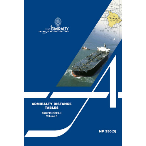


Admiralty - NP350(3) - Distance tables Pacific Ocean
search
  • googlemap
  • Admiralty - NP350(3) - Distance tables Pacific Ocean

Admiralty - NP350(3) - Distance tables Pacific Ocean

€85.25
Tax included
Admiralty - United Kingdom Hydrographic Office
In English language
Estimated preparation time: 5 to 14 days

Essential for Pacific voyages, these nautical distance tables provide the shortest routes in nautical miles between ports in the Pacific Ocean and surrounding seas. Reliable, precise, and easy to use.

NP350(3)

Data sheet

Who is the publisher or the author?
Admiralty
On what digital medium is this nautical chart / book stored?
paper medium
From which year does this nautical chart date?
2009
What type of navigation book is this?
general guides
What is the size?
paper medium
Picto
In English language

Specific References

UPC
400000130491
EAN13
4000000108887
New
Description détaillée

Distance Tables Pacific Ocean – NP350(3)

Publication in English
Paperback edition

Precision Navigation for Maritime Professionals

Navigate the vast expanse of the Pacific Ocean with unmatched accuracy. This essential nautical reference delivers the shortest maritime distances between key ports, ensuring optimized voyage planning for commercial vessels, cargo ships, and maritime operators. Designed for efficiency and reliability, it eliminates guesswork and enhances route optimization in one of the world’s most critical shipping regions.

Comprehensive Coverage of the Pacific Basin

  • Spans the entire Pacific Ocean and adjacent seas, including major trade routes and secondary ports
  • Structured in three regional volumes for targeted, user-friendly access
  • Includes supporting diagrams and explanatory text for seamless integration into navigation workflows
  • Features connection tables for locations not listed in the same or adjacent tables, ensuring no port is left uncharted

Engineered for Professional Use

  • Trusted by maritime professionals for over a century, with a legacy dating back to 1911
  • Updated in its 2nd edition (2009) to reflect the latest maritime data and port developments
  • Published by the world’s leading authority in hydrographic information, ensuring compliance with international navigation standards
  • Paperback format combines durability with practicality for onboard use

Optimized for Commercial Shipping Operations

  • Critical tool for voyage planning, fuel efficiency, and time management in commercial shipping
  • Reduces transit times by providing the most direct routes between ports
  • Essential for compliance with maritime regulations and safety protocols
  • Indispensable for shipmasters, navigators, and logistics planners in the merchant marine sector

Technical Excellence in Maritime Navigation

This volume is part of a three-part series, meticulously organized by region to streamline navigation planning. Each entry is calculated in nautical miles, the standard unit of measurement for maritime distances, ensuring consistency and precision. The inclusion of diagrams and cross-reference tables enhances usability, making it a cornerstone resource for professionals who demand accuracy and reliability in their operations. Whether navigating established trade lanes or exploring emerging routes, this publication provides the data needed to make informed, strategic decisions at sea.

Master the Pacific with the Ultimate Distance Planning Tool
When every nautical mile counts, the *Distance Tables Pacific Ocean – NP350(3)* delivers the precision maritime professionals rely on. This authoritative guide provides the shortest distances in nautical miles between ports across the Pacific Ocean and its surrounding seas, ensuring optimized route planning for commercial vessels, cargo ships, and maritime logistics operations. Built on over a century of hydrographic expertise, this 2nd edition (2009) is the go-to resource for shipmasters, navigators, and fleet managers who prioritize efficiency, safety, and compliance in their voyages.

Engineered for the Demands of Commercial Shipping
Designed for the rigors of professional maritime use, this volume covers the Pacific basin with unparalleled detail. It includes 128 pages of meticulously calculated distances, supported by diagrams and explanatory text to streamline navigation planning. Connection tables bridge gaps between ports not listed in the same or adjacent tables, ensuring no destination is left uncharted. Weighing just 1.44 lb, its durable paperback format is built for frequent onboard use, making it an indispensable tool for vessels operating in one of the world’s busiest shipping regions.

Legacy of Trust and Reliability
With a publication history dating back to 1911, this series has set the standard for maritime distance tables. Updated to reflect the latest port developments and trade routes, it remains the most trusted reference for commercial shipping. Whether navigating established lanes or exploring new markets, maritime professionals depend on its accuracy to reduce transit times, optimize fuel consumption, and enhance operational efficiency. This is not just a navigation aid—it’s a strategic asset for any fleet operating in the Pacific.

This 2nd edition (2009) of the *Distance Tables Pacific Ocean – NP350(3)* provides the shortest nautical distances between ports in the Pacific Ocean and adjacent seas. Published in English, the 128-page paperback volume includes supporting diagrams, explanatory text, and connection tables for seamless route planning. Weighing 1.44 lb, it is designed for durability and ease of use in professional maritime environments.

For over a century, this publisher has been the global benchmark in hydrographic information, setting the standard for accuracy and reliability in maritime navigation. Recognized by commercial fleets, naval forces, and maritime authorities worldwide, their publications are trusted to meet the highest international standards, ensuring safety, compliance, and efficiency at sea.

  • Optimize your Pacific voyages with the most accurate and comprehensive distance tables available.
  • Reduce transit times, enhance fuel efficiency, and streamline route planning with data trusted by maritime professionals for over 100 years.
  • This essential tool ensures compliance with international navigation standards while delivering the precision needed to navigate one of the world’s most critical shipping regions with confidence.
What regions are covered by these distance tables?

The tables cover the Pacific Ocean and its surrounding seas, providing nautical mile distances between various ports in the region.

Are there diagrams included to assist with navigation?

Yes, the tables include supporting diagrams, explanatory text, and connection tables for locations not listed in the same or adjacent tables.

How are distances calculated between ports not listed in the same table?

Connection tables are provided to calculate distances for ports not listed in the same or adjacent tables, ensuring accurate route planning.

Is this publication available in languages other than English?

No, this edition is only available in English.

What is the weight of this publication?

The publication weighs 1.44 lb.

How many editions of these distance tables have been published?

This is the 2nd edition, published in 2009, with a publication history dating back to around 1911.

Can these tables be used for digital navigation systems?

No, this is a paper-based publication and is not designed for digital navigation systems.

Loading...