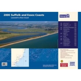
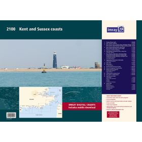
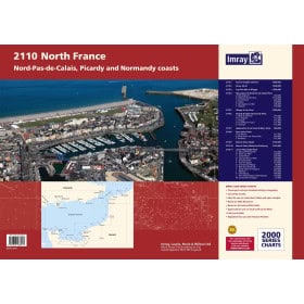
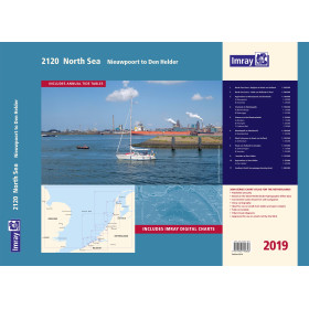
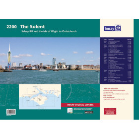
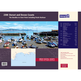
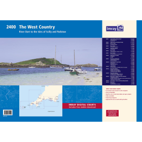
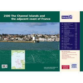
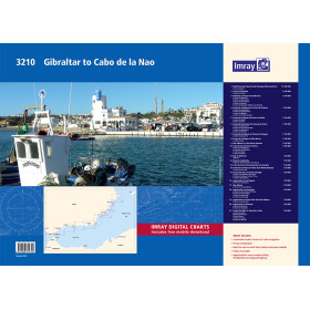
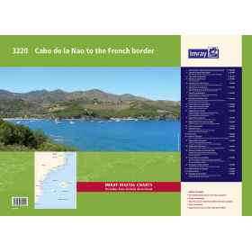
Imray nautical chart (folio)
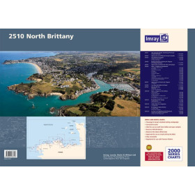
The Imray folio is the reference format for leisure sailors looking to cover an entire sailing area without having to manage multiple separate documents. Unlike individual charts, it combines several charts covering coastal and offshore areas, together with harbour plans, creating a coherent set that allows sailors to move from one area to another without any loss of information. Nautic Way, an authorised Imray agent, offers 16 folios covering strategic sailing areas from the North Sea to the Balearic Islands, including Folio 2510 (Northern France, Brittany: Saint-Malo to Brest) and Folio 2500 (Channel Islands). Each folio includes waypoints, GPS coordinates, landmarks, channels and currents, with standardised symbols and high-definition printing.

 Click here to open our interactive map and select your charts