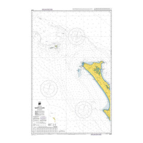
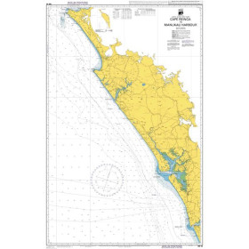
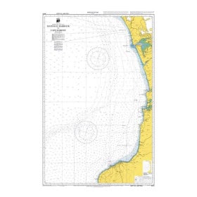
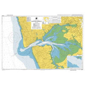
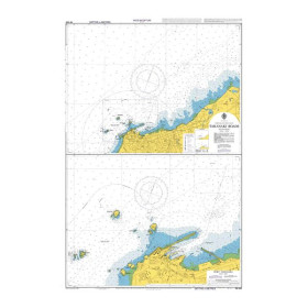
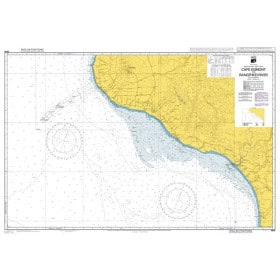
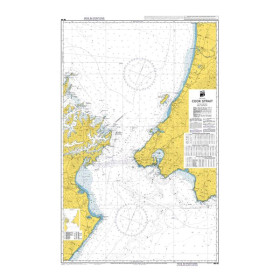
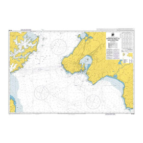
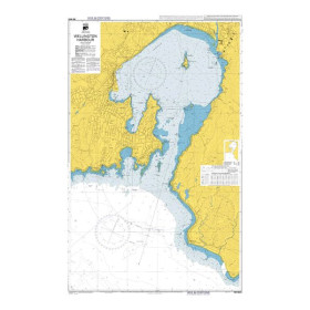
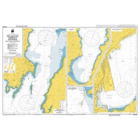
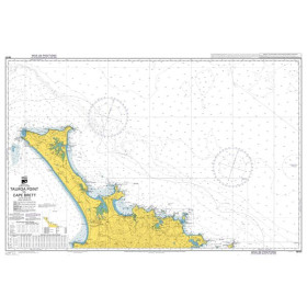
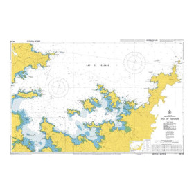
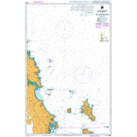
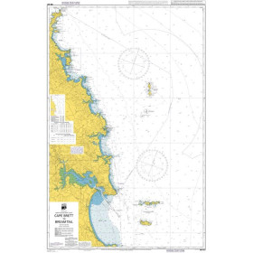
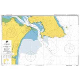
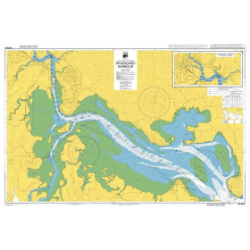
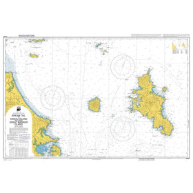
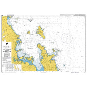
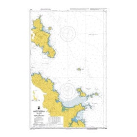
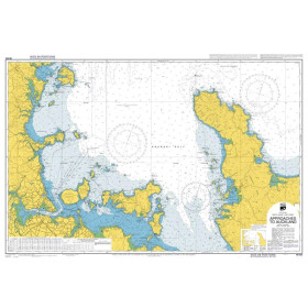
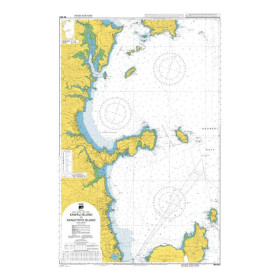
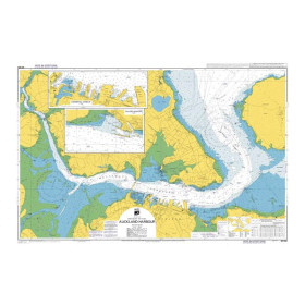
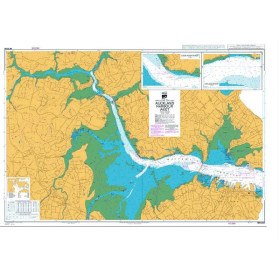
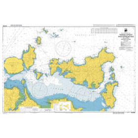
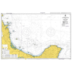
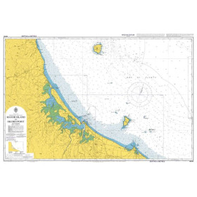
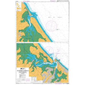
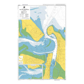
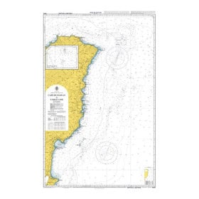
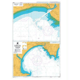
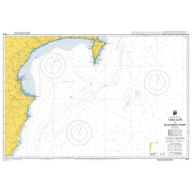
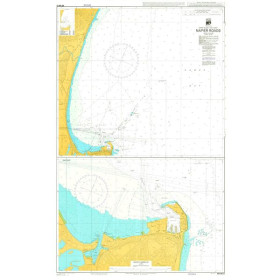
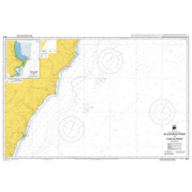
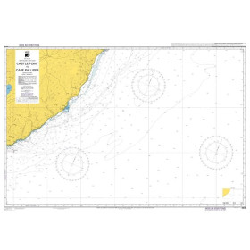
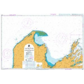
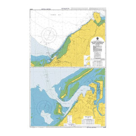
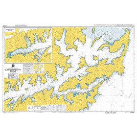
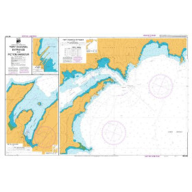
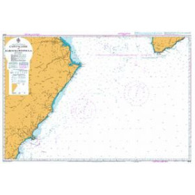
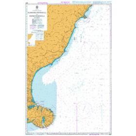
Land Information New Zealand nautical chart
The nautical charts produced by Land Information New Zealand (LINZ) are the official reference for New Zealand waters, characterised by highly indented coastlines and rapidly changing weather conditions.
Nautic Way offers a range of charts covering coastal, nearshore and offshore areas, including charts covering the Tonga and Samoa Islands, allowing mariners to navigate major waterways such as Cook Strait.
Each chart provides detailed information on depths in metres, official aids to navigation (lighthouses, lights and buoys), shoals, rocks, reefs, wrecks and regulated areas, including marine reserves and military zones, in accordance with International Hydrographic Organization (IHO) standards.
These charts are essential for professional mariners, offshore yacht skippers and sailors in the Southern Hemisphere, commercial and fishing vessels, as well as scientific expeditions operating in areas that can include volcanic environments. They benefit from regular updates through LINZ Notices to Mariners.

 Click here to open our interactive map and select your charts