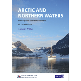
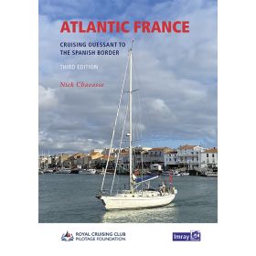
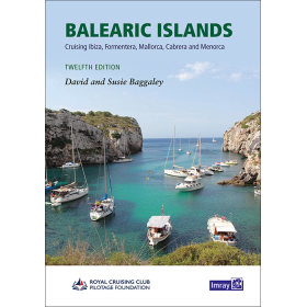
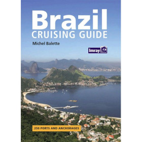
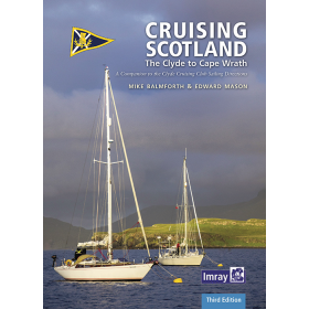
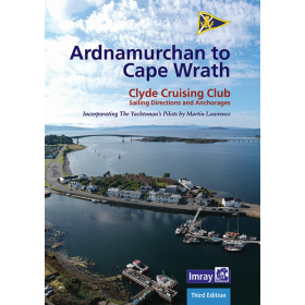
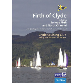
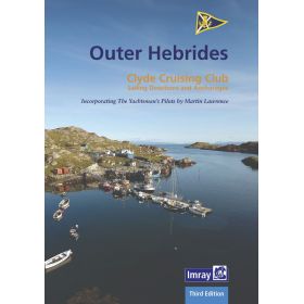
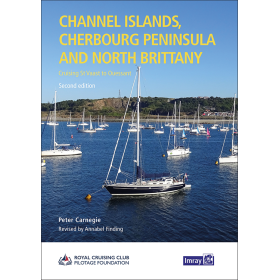
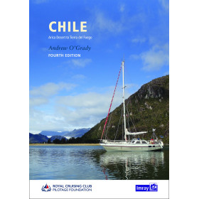
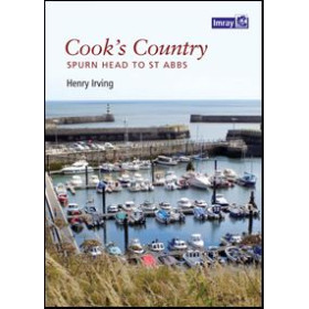
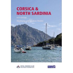
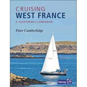
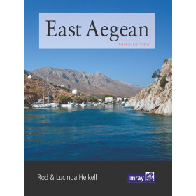
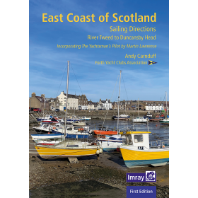
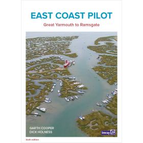
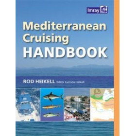
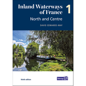
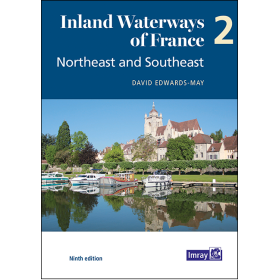
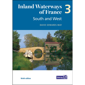
Imray Cruising Guide in English
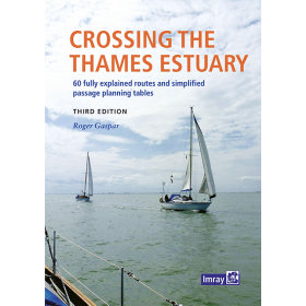
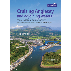
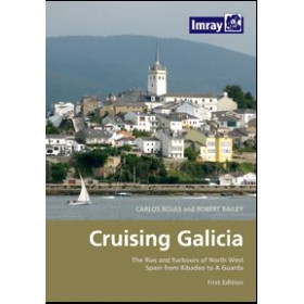
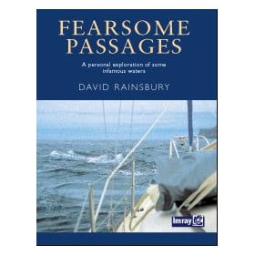
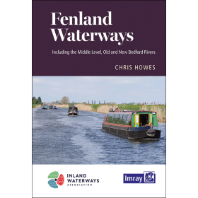
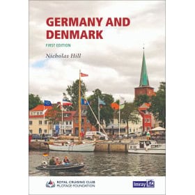
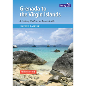
The Imray guide in English is specialist nautical documentation for planning a cruise, coastal navigation or a passage in many regions around the world. Imray sailing guides and pilot books in English provide detailed information on ports, anchorages, channels, approaches, hazards, currents and local features. They cover areas including the English Channel, the North Sea, the Baltic Sea, the Mediterranean Sea, the Atlantic Ocean, the Caribbean and certain areas of the Pacific Ocean. These guides help sailors plan stopovers in Saint-Malo, Brest, Cherbourg, La Rochelle, Lisbon, Gibraltar, Palma de Mallorca, Las Palmas, Fort-de-France or Papeete. To complement this documentation, sailors can use paper and digital nautical charts from Shom, Admiralty, Imray or NV Charts. An Imray guide in English is therefore a practical complement to nautical charts for planning routes, checking port approaches and organizing stopovers during coastal or offshore navigation.

 Click here to open our interactive map and select your charts