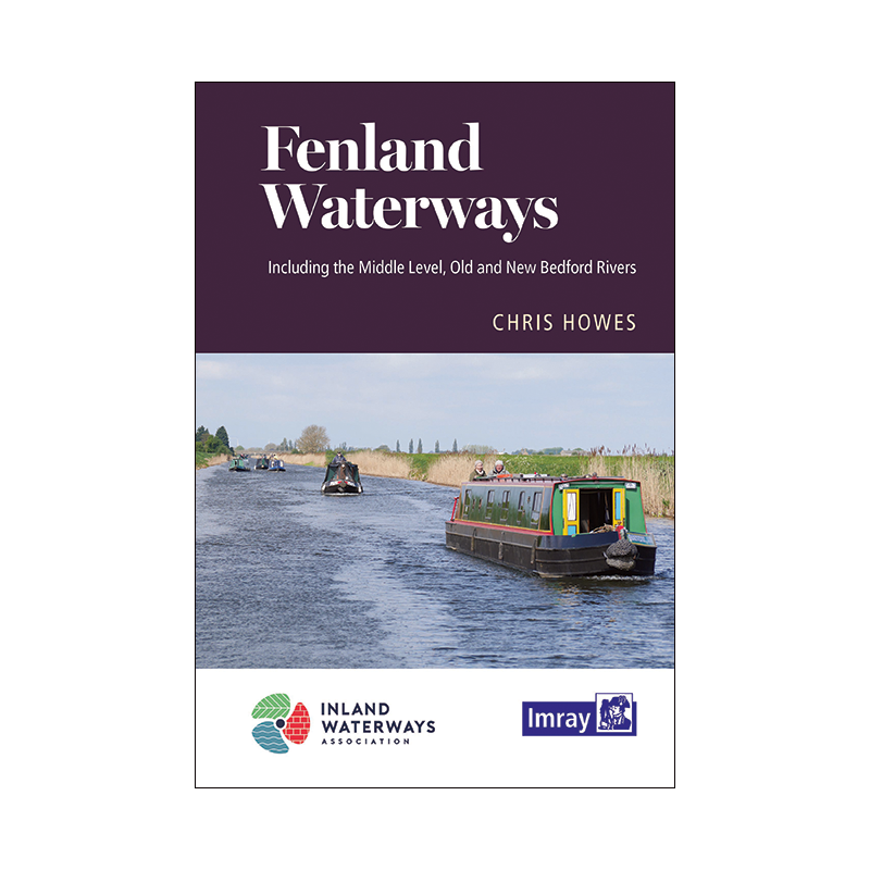




Master the Fenland Waterways with this detailed guide, featuring maps, mooring spots, and key services. Perfect for boaters, paddlers, and explorers seeking England’s most peaceful inland routes.
Data sheet
Specific References
Discover the tranquil and breathtaking beauty of Fenland’s waterways, a network of serene and less-traveled routes that connect the Great Ouse and Nene rivers. This guide is your essential companion for exploring the Middle Level’s main route via March, along with its scenic alternatives. Crafted by human ingenuity and teeming with diverse wildlife, these waterways offer a unique blend of isolation and accessibility, making them a haven for boaters, paddlers, and outdoor enthusiasts alike.
Designed for recreational boaters, this guide provides everything you need to navigate Fenland’s waterways with confidence. It includes detailed maps for each river section, along with folded overview charts for easy reference. Whether you're cruising in a narrowboat, kayaking, paddleboarding, or simply exploring on foot, you’ll find invaluable insights into moorings, facilities, and services along the way. Points of interest are highlighted to ensure you don’t miss the best of what these waterways have to offer.
This guide is the result of a collaboration between seasoned boat owners and navigators from the Inland Waterways Association, ensuring accuracy and practicality. The 7th edition features a redesigned layout with resized and reoriented maps for enhanced usability. Written by Chris Howes, a respected figure in the boating community and vice-president of the Inland Waterways Association, the guide combines expert navigation notes with engaging narratives and photographs that bring the region’s landmarks to life.
Built for the demands of life on the water, this guide is spiral-bound for durability and ease of use. Its compact dimensions make it perfect for stowing on board, while the high-quality paper ensures it withstands the elements. Whether you're planning a weekend getaway or an extended journey, this guide is your trusted resource for unlocking the secrets of Fenland’s waterways.
Unlock the Secrets of Fenland’s Waterways with This Essential Guide
Embark on a journey through one of England’s most enchanting yet underrated waterway networks with the Fenland Waterways Guide. This meticulously crafted publication is tailored for boaters, paddlers, and outdoor enthusiasts seeking to explore the Middle Level’s intricate system of rivers and canals. Connecting the Great Ouse and Nene rivers, these waterways offer a rare blend of isolation and accessibility, making them a perfect escape for those looking to experience the tranquility of nature without sacrificing modern conveniences.
Expert Navigation for Safe and Enjoyable Travels
This guide is packed with detailed, easy-to-follow maps for every section of the Fenland waterways, including the main route via March and its scenic alternatives. The folded overview charts provide a bird’s-eye view of the region, ensuring you can plan your route with precision. Whether you're navigating by narrowboat, kayak, or paddleboard, you’ll find clear instructions on moorings, facilities, and services, along with points of interest that highlight the best of what these waterways have to offer.
Designed for Boaters, by Boaters
What sets this guide apart is its practicality and reliability. Developed in collaboration with experienced boat owners and navigators from the Inland Waterways Association, it reflects real-world insights and expertise. The 7th edition features a redesigned layout with resized and reoriented maps for improved readability, making it easier than ever to navigate these historic waterways. Written by Chris Howes, a seasoned boater and vice-president of the Inland Waterways Association, the guide combines technical navigation notes with engaging stories and photographs that bring the region’s landmarks to life.
Built to Withstand the Rigors of Life on the Water
Durability is key when you're out on the water, and this guide delivers. Its spiral-bound design ensures it lays flat for easy reference, while the compact dimensions (235 x 160 x 5 mm) make it a breeze to store on board. Weighing just 450 grams, it’s lightweight yet sturdy enough to handle the elements. Whether you're planning a short trip or an extended adventure, this guide is your indispensable companion for exploring Fenland’s waterways with confidence.
This Fenland Waterways Guide is a compact yet comprehensive resource, featuring 55 pages of detailed navigation information, maps, and points of interest. The 7th edition, published in 2020, is spiral-bound for durability and ease of use, with dimensions of 235 x 160 x 5 mm and a lightweight design weighing just 450 grams. Written in English, it’s the perfect tool for boaters and outdoor enthusiasts looking to explore the Middle Level’s waterways.
With decades of experience in nautical publishing, this publisher is renowned for producing high-quality guides and charts that cater to boaters, sailors, and outdoor adventurers. Their publications are trusted by professionals and enthusiasts alike for their accuracy, practicality, and user-friendly design, making them a go-to resource for navigating waterways around the world.
The guide covers the Middle Level waterways between the Great Ouse and Nene rivers, including the main link route via March and several alternative routes.
Yes, it includes detailed maps for each river section and folded overview plans for easy navigation.
The guide features a spiral binding, making it easy to lay flat for convenient use while navigating.
Yes, it provides points of interest for canoeists, paddleboarders, walkers, and other waterway users.
The guide contains 55 pages of navigational information, maps, and points of interest.
The guide was written by Chris Howes, an experienced navigator and vice-president of the Inland Waterways Association.
The guide weighs 450 grams, making it lightweight and portable for on-the-go use.
You might also like