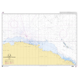
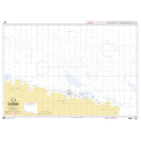
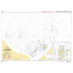
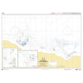
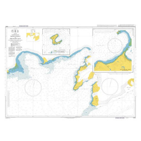
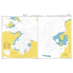
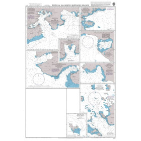
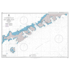
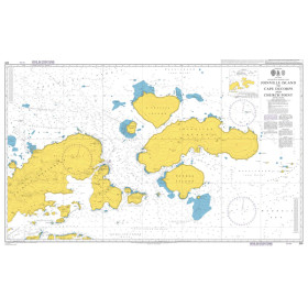
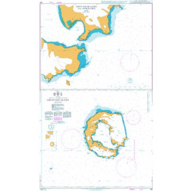
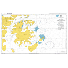
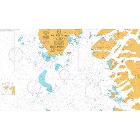
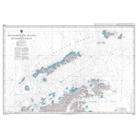
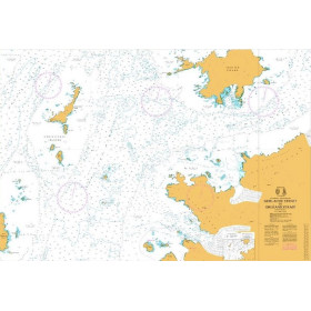
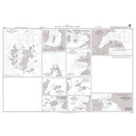
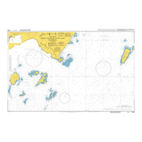
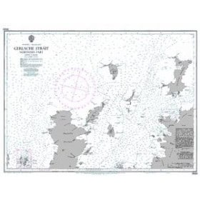
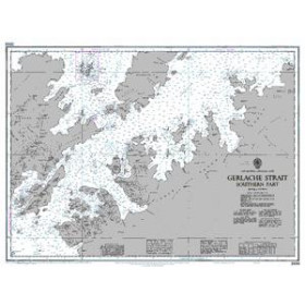
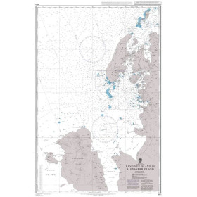
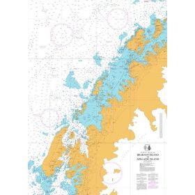
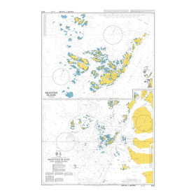
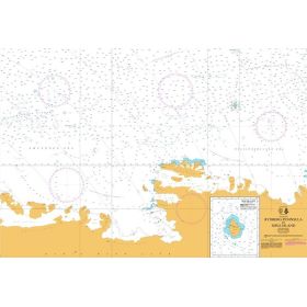
Nautical chart for the Antarctic Ocean
Are you looking for a paper nautical chart of the Southern Ocean to plan a voyage in the southern polar regions? This selection covers the main maritime areas around Antarctica, including the Weddell Sea, Ross Sea, Amundsen Sea and Bellingshausen Sea, as well as the approaches to the Antarctic Peninsula. Explore the areas around bases and research stations such as Rothera, McMurdo, Palmer and King George Island, as well as the routes connecting the Southern Ocean with the Atlantic, Pacific and Indian Oceans. Admiralty charts provide international coverage of the Antarctic regions, complemented by documents from national hydrographic offices and official charts from the International Hydrographic Organization. Charts may also cover sub-Antarctic islands and routes towards Ushuaia, Punta Arenas, Hobart or Cape Town. Whether you are planning a polar expedition, scientific voyage or passage towards the Antarctic Peninsula, choose a paper nautical chart suited to your sailing area, itinerary and required scale.

 Click here to open our interactive map and select your charts