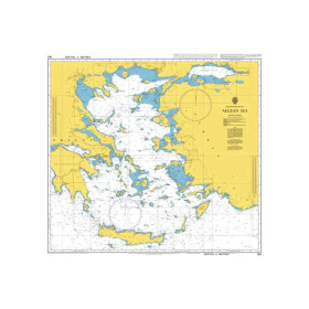
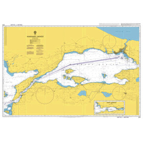
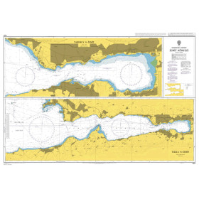
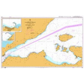
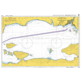
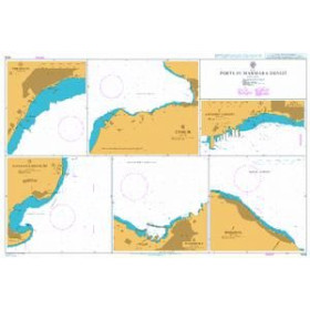
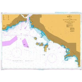
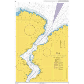
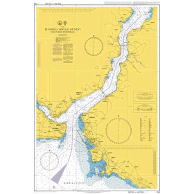
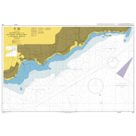
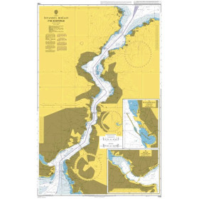
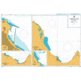
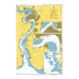
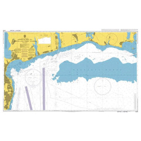
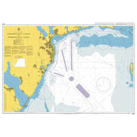
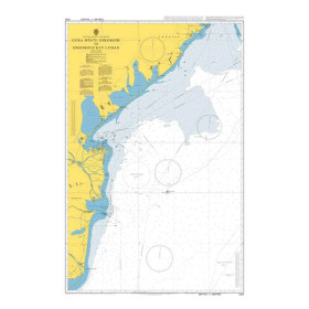
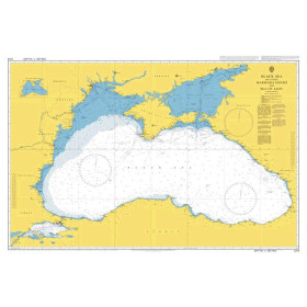
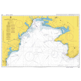
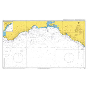
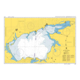
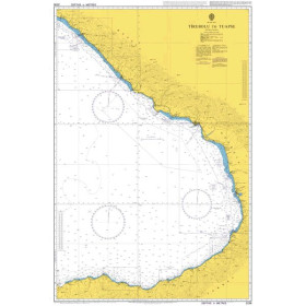
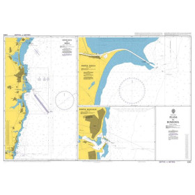
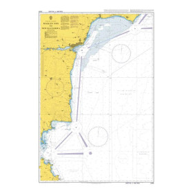
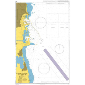
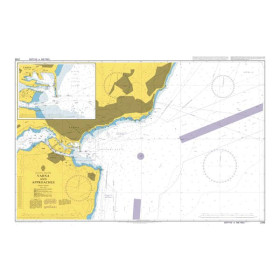
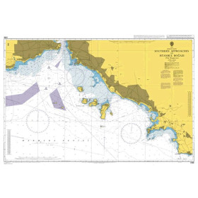
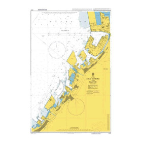
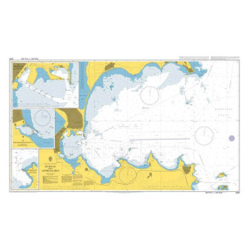
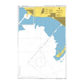
Admiralty nautical chart Black and Marmara seas
The Admiralty Black Sea and Sea of Marmara nautical chart is designed for planning coastal navigation, regional passages and shipping routes between the eastern Mediterranean, the Sea of Marmara and the Black Sea. Published by the United Kingdom Hydrographic Office (UKHO), Admiralty charting provides an overview of the main maritime areas, coastlines, straits, ports and navigation routes across this strategically important region. It is particularly useful for planning navigation through the Dardanelles and Bosphorus Straits, reaching Istanbul, sailing towards Bulgaria, Romania, Georgia, Ukraine or Türkiye, and organising a route across the Black Sea. An Admiralty Black Sea and Sea of Marmara chart complements the coastal and detailed charts required when approaching ports and navigating complex areas. It is suitable for professional mariners, recreational sailors, delivery crews, navigation schools and long-distance sailing projects looking for reliable charting to plan their routes.

 Click here to open our interactive map and select your charts