NV Charts routing software
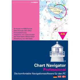
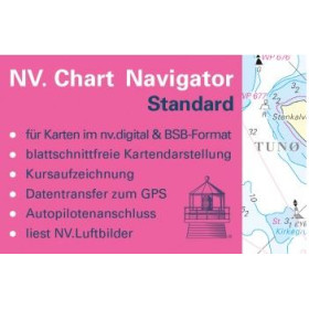
NV Charts navigation software provides a digital environment for using NV Charts marine charts and preparing coastal sailing, cruising and longer voyages. Designed for compatible computers and mobile devices, it allows navigators to consult digital charts, plan routes, study coastal areas and organise different stages of an itinerary. Depending on the equipment and available functions, NV Charts can therefore be used on a computer, tablet or smartphone as part of a complete digital navigation setup. The software is suitable for sailors and motorboat users looking for digital nautical charts to prepare passages and complement the use of paper charts. Choosing the appropriate NV Charts coverage requires careful consideration of the cruising area, departure and destination ports, planned stopovers and the complete route. NV Charts digital charting can also be combined with other nautical publications and navigation resources, providing a practical solution for route preparation and electronic navigation during coastal cruises and extended voyages.

 Click here to open our interactive map and select your charts