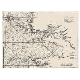
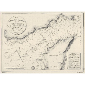
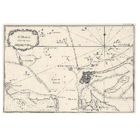
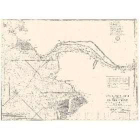
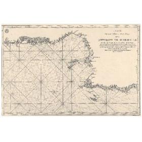
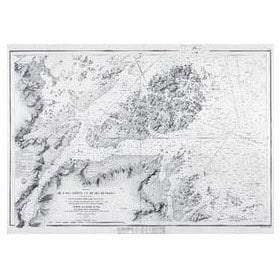
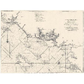
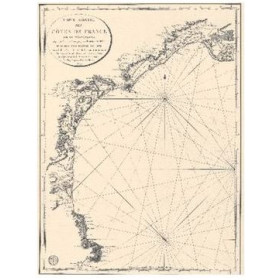
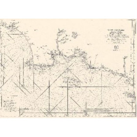
Old nautical chart
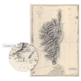
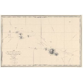
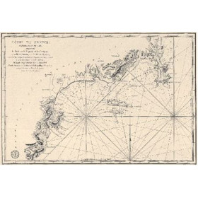
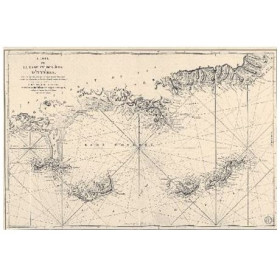
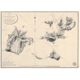
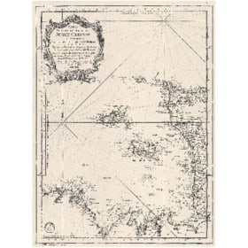
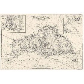
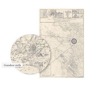
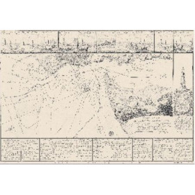
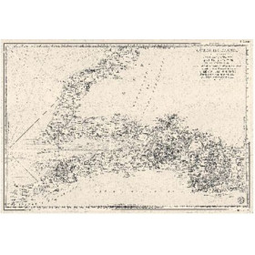
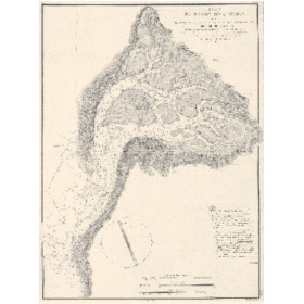
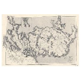
Nautic Way’s reproductions of antique nautical charts bring the history of marine cartography to life through maps depicting coastlines, harbours, islands and major sea routes. The collection includes charts from sources such as the French hydrographic service Shom and Antica editions. The geographical coverage ranges from Brittany, Brest, the English Channel, Corsica, the Mediterranean and Arcachon Bay to more distant regions, including the Caribbean Sea, the Indian Ocean and the Pacific. These historical chart reproductions illustrate how geographical knowledge, surveying techniques and the representation of coastlines developed over time. Printed on different types of paper depending on the design, they can be displayed in a study, library, living room or interior inspired by the sea and exploration. An antique nautical chart also provides a compelling visual reference for anyone interested in maritime history, navigation and cartographic heritage. These historical reproductions are intended for display and study, not for practical navigation at sea.

 Click here to open our interactive map and select your charts