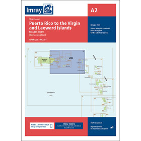
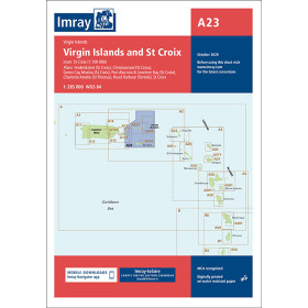
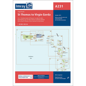
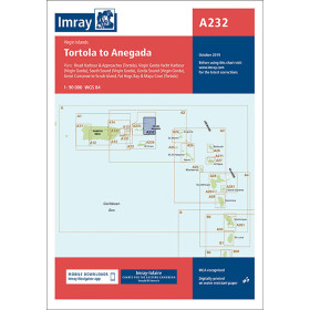
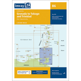
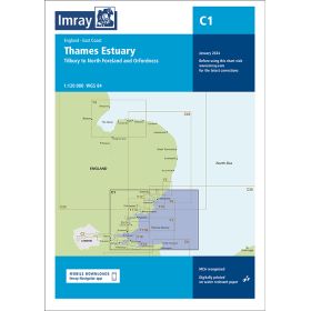
Imray nautical chart (folded chart)
Imray folded charts are a worldwide reference for recreational sailing, drawing on a century-old cartographic tradition that combines data from official hydrographic services with surveys and information collected by experienced sailors. Their practical graphic design, standardised symbols, contrasting colours, integrated waypoints and GPS coordinates allow for rapid reading at the chart table. The catalogue covers four levels of detail: coastal areas for harbour entrances and complex anchorages, coastal cruising areas for inshore navigation, offshore areas for passages at sea, and Imray Chart 100 for transatlantic planning.
Paper nautical chart by publisher (230 products)

 Click here to open our interactive map and select your charts
Vue carte
Vue liste
230 produits correspondent à vos critères.
Effacer
Vue carte
Vue liste
230 produits correspondent à vos critères.