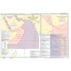
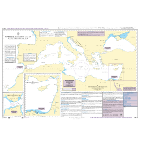
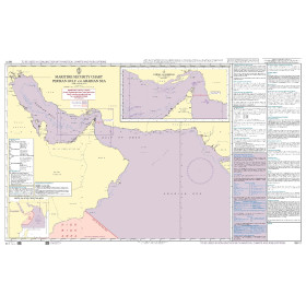
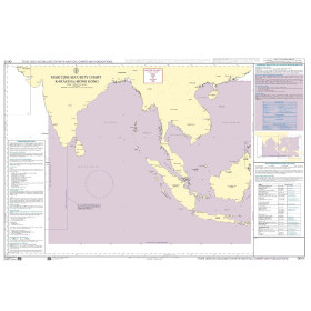
Marine Security charts

Maritime safety charts are essential nautical documents designed to improve navigation safety by highlighting hazardous areas, traffic organization, and regulatory constraints. Used by recreational sailors, professional mariners, and navigation schools, they help anticipate risks in busy waters, port approaches, straits, and regulated zones. These charts present key safety information such as traffic separation schemes, restricted areas, major shipping routes, and cautionary notes in a clear and concise format. Complementary to standard nautical charts, they support voyage planning, risk management, and onboard decision-making. Independent of electronic systems, maritime safety charts provide a reliable paper backup in case of technical failure. Although they do not replace full navigational charts and require regular updates, they remain indispensable tools for safe, responsible maritime navigation.

Filters (6 products)

1 - Chart type

2 - Choosing the navigation area

No choice available on this group

3 - Choosing the hydrographic service or publisher

4 - Choosing the chart format

Loading...