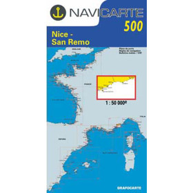
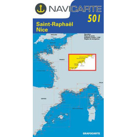
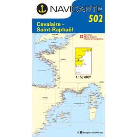
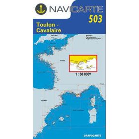
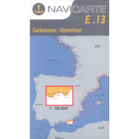
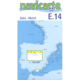
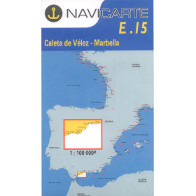
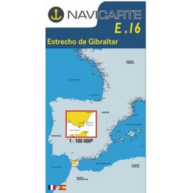
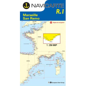
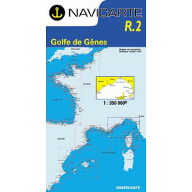
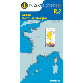
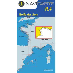
Navicarte nautical chart Mediterranean
Navicarte nautical charts covering the Mediterranean basin cover a diverse coastline, from the low-lying shores of Languedoc to the rugged coastline of the French Riviera, including the Balearic Islands and the Spanish coast. Designed for recreational sailors, they allow you to sail along the Calanques of Marseille (Chart 504), discover anchorages from Nice to Port-Vendres (Chart 500), or plan a passage to the Balearic Islands (Chart R6), thanks to their clear graphic layout, contrasting colours, simplified symbols, and information on ports, safe anchorages and local regulations.

 Click here to open our interactive map and select your charts
Vue carte
Vue liste
36 produits correspondent à vos critères.
Effacer
Vue carte
Vue liste
36 produits correspondent à vos critères.