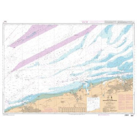
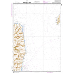
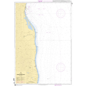
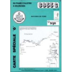
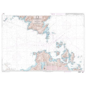
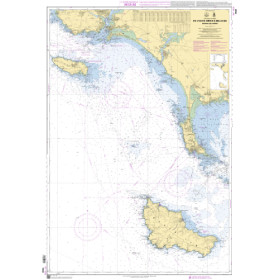
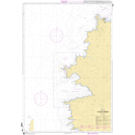
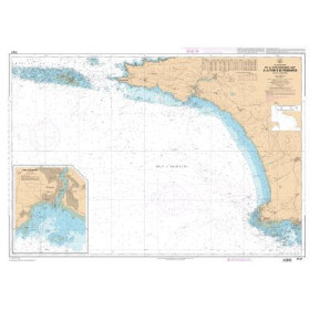
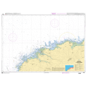
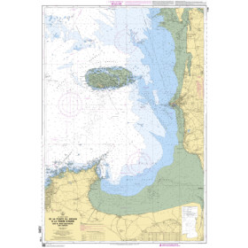
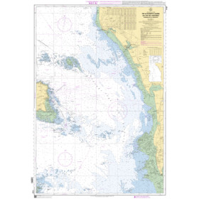
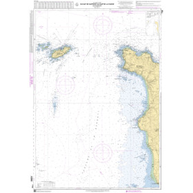
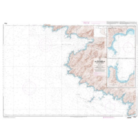
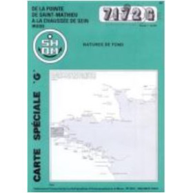
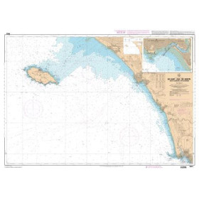
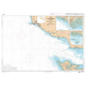
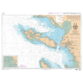
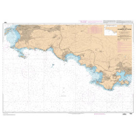
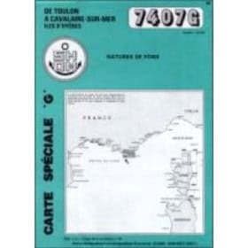
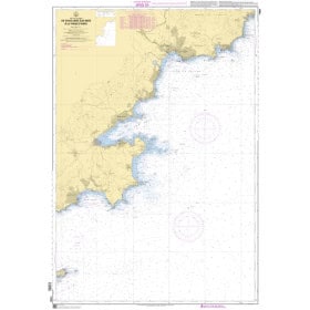
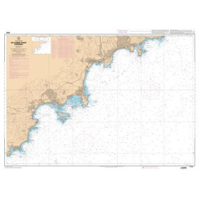
Shom G nautical chart - sedimentological chart
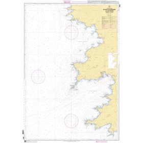
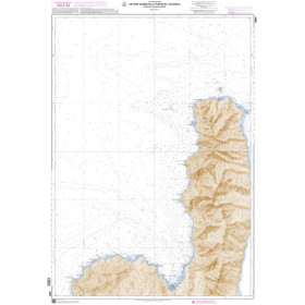
The SHOM G sedimentological nautical chart is a specific paper nautical chart designed to show the nature and distribution of seabed sediments in French coastal areas. SHOM G charts indicate the main types of sediments, including sand, mud, gravel, shingle and rock, providing useful information for seabed knowledge, anchorage planning and certain maritime activities. They cover various French coastal areas along the English Channel, Atlantic and Mediterranean coasts, including the waters around ports such as Brest, Lorient, La Rochelle, Bordeaux, Marseille, Toulon and Nice. They may also be useful to sailors navigating in the Iroise Sea, the Bay of Biscay, the English Channel or the western Mediterranean. Published by SHOM, these sedimentological charts complement standard SHOM navigation charts as well as Admiralty, Imray and NV Charts paper charts when covering the same areas.

 Click here to open our interactive map and select your charts