Platinum+ Regular on SD card - micro SD
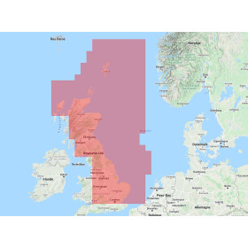
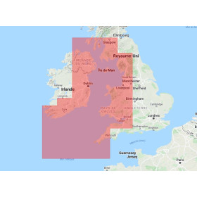
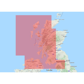
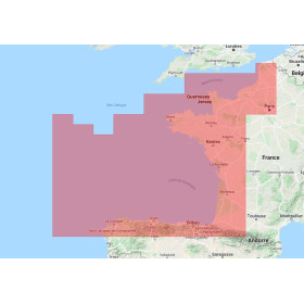
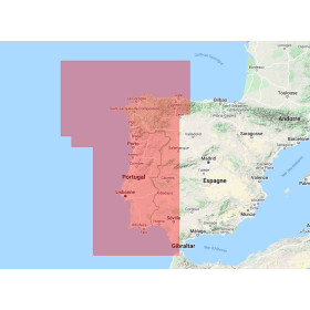
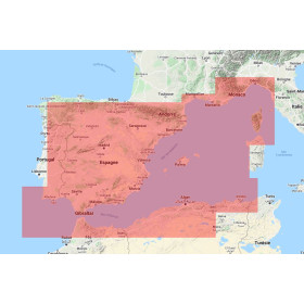
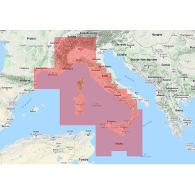
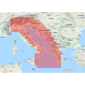
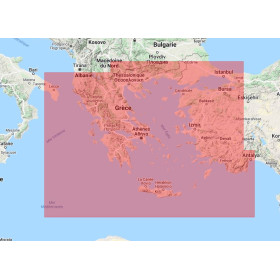
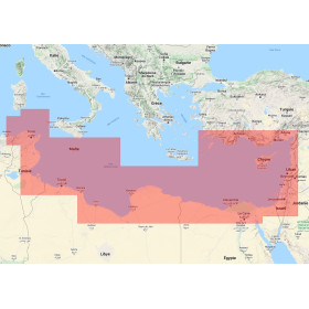
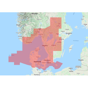
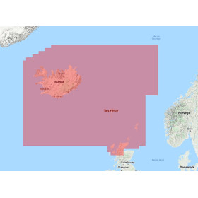
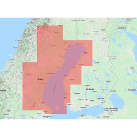
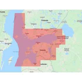
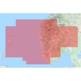
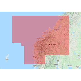
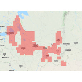
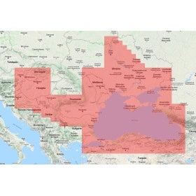
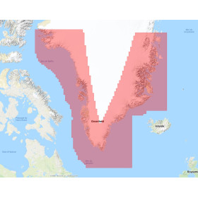
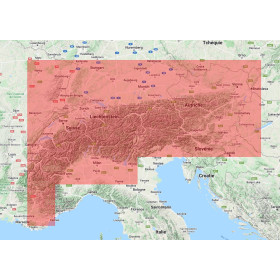
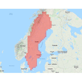
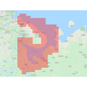
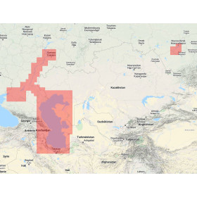
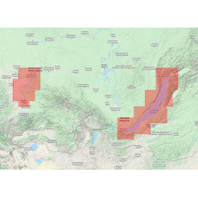
The Navionics Platinum+ Regular digital marine chart on SD or microSD card is designed for marine GPS systems and chartplotters compatible with Navionics cartography. Depending on the reference, geographical area and equipment used, the Platinum+ range combines detailed Navionics chart data with advanced features such as SonarChart HD, information on ports and marinas, soundings, depths, navigation aids, wrecks, hazards, tides and currents. Some Platinum+ references also offer premium features such as high-resolution shaded underwater relief, satellite imagery or 3D views. The term Regular refers to a geographical coverage category and does not mean less detailed charting. This digital marine chart is particularly suitable for coastal navigation, cruising and fishing. Before selecting a chart, check the exact reference, geographical coverage, GPS or chartplotter model compatibility and whether the equipment accepts an SD or microSD card format.

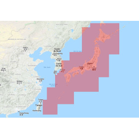
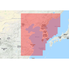
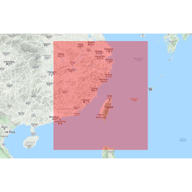
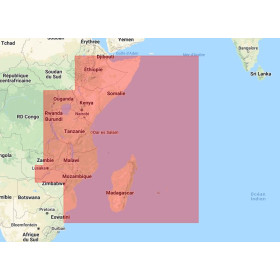
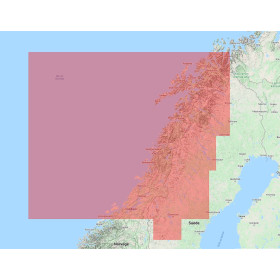
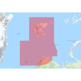
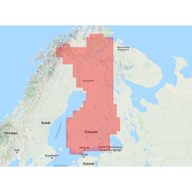
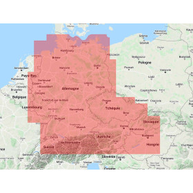
 Click here to open our interactive map and select your charts



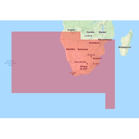
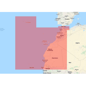
- -5%
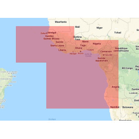
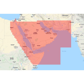

- -5%
- -5%
- -5%
- -5%
- -5%
- Out-of-Stock
- -5%
- -5%
- Out-of-Stock
- -5%
- Out-of-Stock