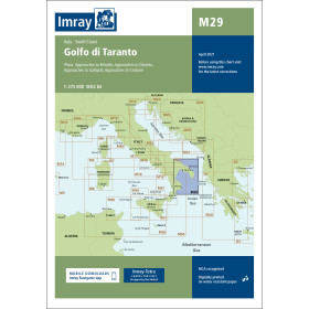
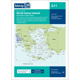
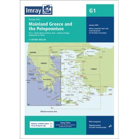
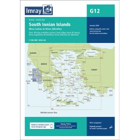
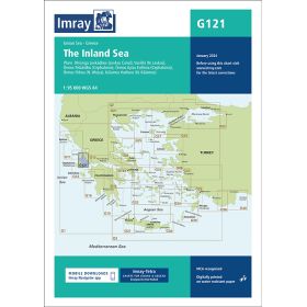
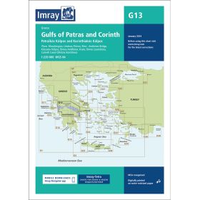
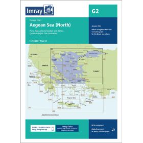
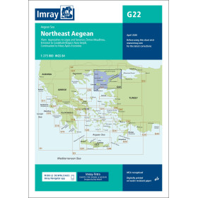
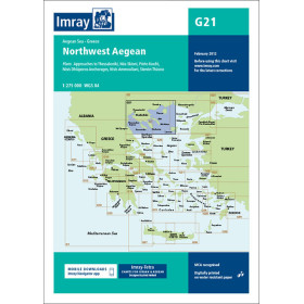
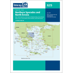
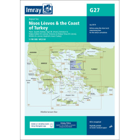
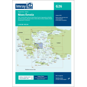
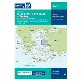
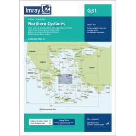
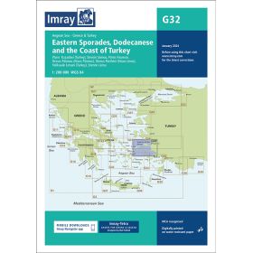
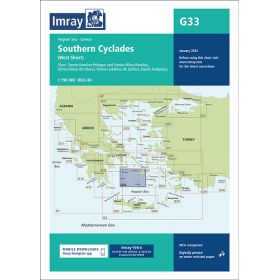
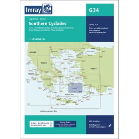
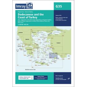
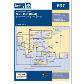
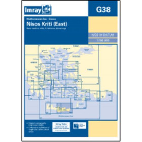
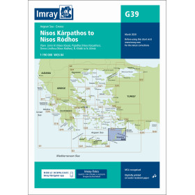
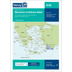
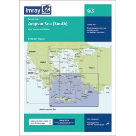
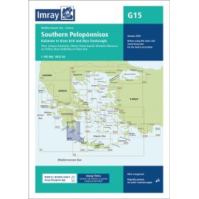
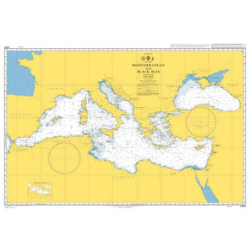
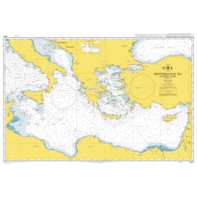
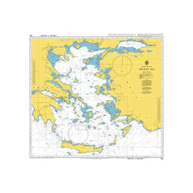
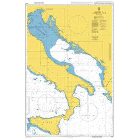
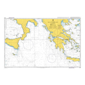
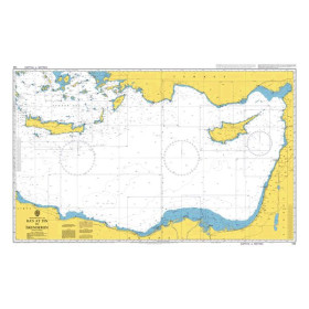
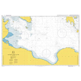
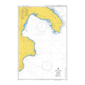
Nautical chart for the Ionian and Aegean seas
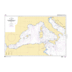
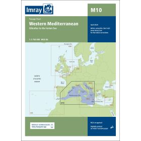
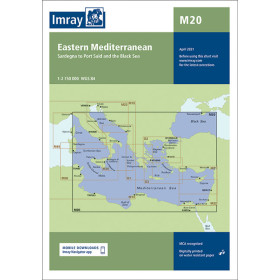
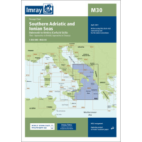
Are you looking for a paper nautical chart of the Ionian and Aegean Seas to plan a cruise or coastal voyage in Greece and the Eastern Mediterranean? This selection covers the main sailing areas of the Ionian and Aegean Seas, including the Greek coastline, the Ionian Islands, the Cyclades, the Dodecanese and the approaches to Turkey. Explore the ports of Corfu, Preveza, Kefalonia, Zakynthos, Patras, Athens, Piraeus, Rhodes, Kos, Heraklion, Thessaloniki and Bodrum. Admiralty charts provide detailed international coverage of these regions, while Imray and NV Charts complement nautical charting for many recreational sailing areas. Official charts from the Hellenic Navy Hydrographic Service and Turkish hydrographic authorities can also complement your nautical documentation. Whether you are planning to sail in the Cyclades, cross to Crete, cruise through the Dodecanese or follow a route towards Turkey, choose a paper nautical chart suited to your itinerary, sailing area and required scale.

 Click here to open our interactive map and select your charts