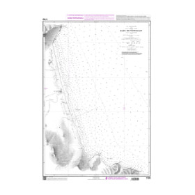
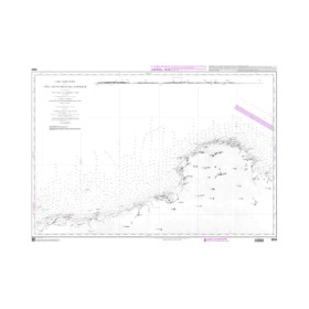
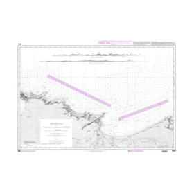
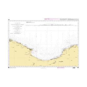
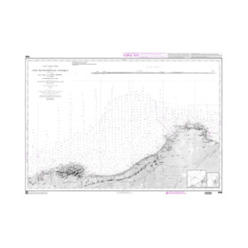
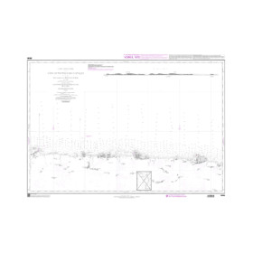
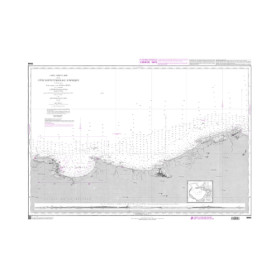
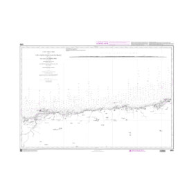
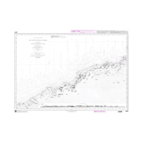
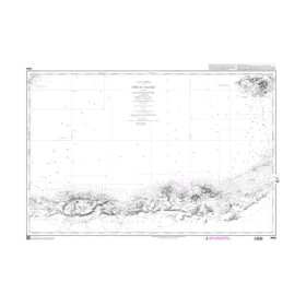
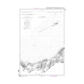
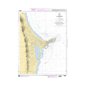
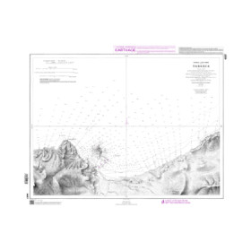
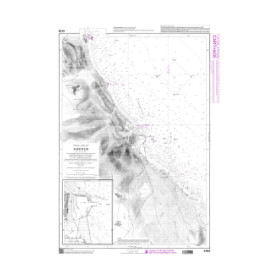
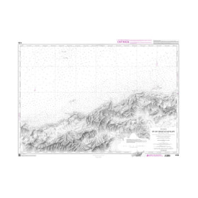
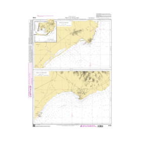
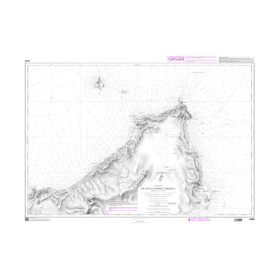
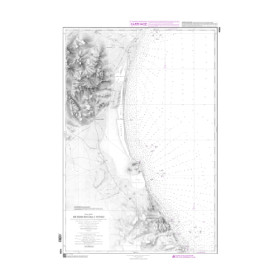
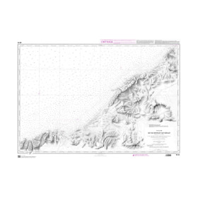
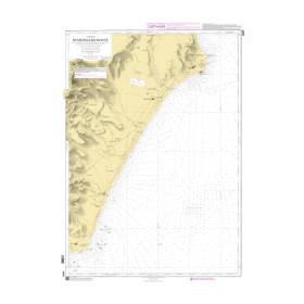
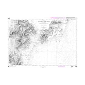
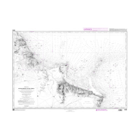
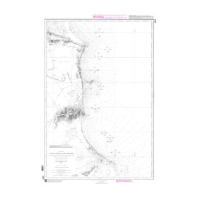
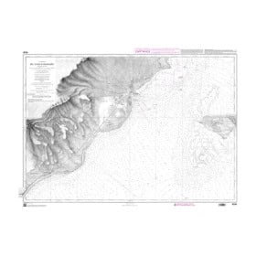
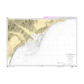
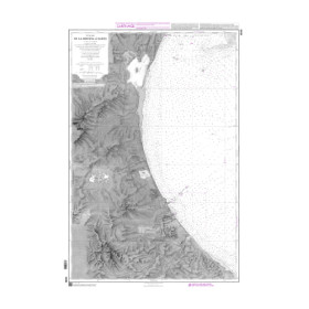
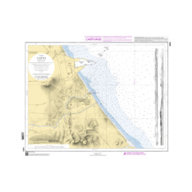
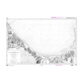
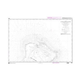
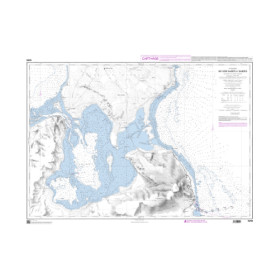
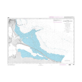
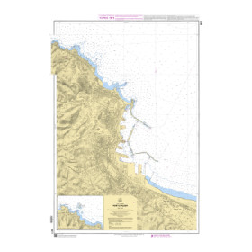
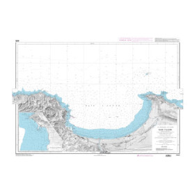
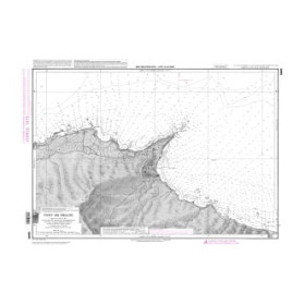
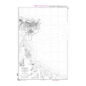
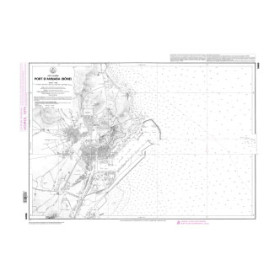
Shom raster geotiff nautical chart Mediterranean Sea, Black Sea, Sea of Marmara
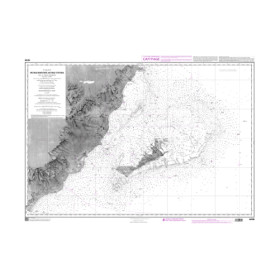
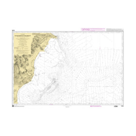
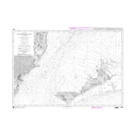
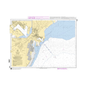
The SHOM GeoTIFF raster marine chart covering the Mediterranean Sea, Black Sea and Sea of Marmara is a digital nautical chart designed for navigation planning and sailing in these major maritime areas. In GeoTIFF format, it reproduces official SHOM hydrographic charting as a raster image, including soundings, depths, depth contours, hazards, wrecks, landmarks, lights, buoys and other hydrographic information. Thanks to its georeferencing, this digital marine chart can be integrated into navigation or charting software compatible with the GeoTIFF format. It is suitable for coastal navigation, crossings, route planning and offshore sailing in the Mediterranean, as well as passages towards the Black Sea and Sea of Marmara. Before choosing a SHOM GeoTIFF chart, check the chart reference, scale, geographical coverage, resolution, coordinate system and compatibility with your navigation software. The raster format also preserves the traditional cartographic presentation of SHOM charts.

 Click here to open our interactive map and select your charts