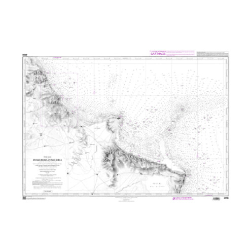



Shom Raster Geotiff - 4226 - digital nautical chart - From Ras Marsa to Ras Dumas (Gulf of Sousse and Monastir)
search
  • googlemap
  • Shom Raster Geotiff - 4226 - digital nautical chart - From Ras Marsa to Ras Dumas (Gulf of Sousse and Monastir)

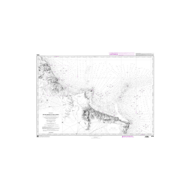
Digital chart Shom Raster Géotiff - 4226 - From Ras Marsa to Ras Dumas (Gulf of Sousse and Monastir)

€43.13
Shom - Service Hydrographique et Océanographique de la Marine
Chart or book in digital version In French language
Custom-programmed chart
Preparation time: 0 to 3 days
Shom offers a wide selection of marine charts and nautical works, mainly in French territorial waters.
shomrg-4226

Data sheet

What is the classification?
nautical chart
Who is the publisher or the author?
Shom
What type of nautical chart is this?
navigation chart
For what type of navigation is this chart suitable?
inshore
What is the geographical navigation area of ​​this nautical chart?
Mediterranean
Is this digital nautical chart vector or raster?
raster géotiff
X This digital nautical chart is readable by?
routing software
Is this digital nautical chart new, or is it an update for your current chart?
new chart
On what digital medium is this nautical chart / book stored?
digital medium
download
From which year does this nautical chart date?
Chart printed or programmed upon order, incorporating the latest updates
What is the scale of this nautical chart?
1:62.800
Picto
Chart or book in digital version
In French language

Specific References

UPC
400000066967
EAN13
4000000117902
New
Custom-programmed chart
Description détaillée

This Shom digital raster geotiff nautical chart covers the area Black and Marmara Seas, the area From Ras Marsa to Ras Dumas (Gulf of Sousse and Monastir).

We strive to market only the latest versions of nautical charts incorporating the most recent updates.

Shom nautical charts are the official, essential reference for all maritime navigation in France and in maritime areas of French interest. Published by the French Naval Hydrographic and Oceanographic Service, they are used by both recreational boaters and maritime professionals to plan, secure, and manage their voyages.

Why choose a Shom nautical chart for navigation?
A Shom nautical chart is not just a cartographic medium. It is a regulatory navigation tool, designed to accurately represent the realities of the marine environment.

Who are Shom charts intended for?
Shom nautical charts are designed to meet the needs of a wide range of navigators.

Target profiles

  • Beginner navigators: learning how to read charts, understanding buoyage and seabed features
  • Experienced navigators: detailed voyage planning and securing route choices
  • Maritime professionals: mandatory use of officially recognized charting

Navigation conditions

  • daytime and nighttime navigation
  • occasional or regular navigation
  • use as a complement to GPS, chart plotters, or ECDIS

Understanding the scale of a Shom chart
Scale determines the level of detail:

  • small scale: general navigation, offshore planning
  • large scale: coastal navigation, ports, anchorages

Choosing the correct scale is essential to avoid misinterpretation.

Essential information shown on the chart
A Shom nautical chart notably indicates:

  • the unit of measurement: the meter,
  • depth soundings and seabed nature,
  • compliance with SOLAS (Safety of Life at Sea) regulations,
  • maritime buoyage (lateral, cardinal, special),
  • isolated dangers (rocks, wrecks, shoals),
  • ports, anchorages, and infrastructure,
  • regulated areas and nautical information.

In Shom chart descriptions, you will find:

  • the chart number, possibly supplemented by an INT number for international charts,
  • the title, possibly supplemented by inset titles,
  • an approximate value of the average scale,
  • the mean latitude,
  • the year of publication or of the latest edition,
  • the year of the latest major corrections (GC) or of the latest printing (T) for L charts,
  • the format (GA: Grand-Aigle, DE: Demi-Aigle, QA: Quart-d?Aigle, AO and A1).

Charts must always be read taking into account tides, weather conditions, and official notices.

An official update system
Shom regularly publishes:

  • Notices to Mariners,
  • chart corrections,
  • new updated editions.

Navigating with an outdated chart exposes users to major risks, particularly near coasts and in port areas.

Standards and compatibility

  • WGS 84 geodetic reference system (GPS-compatible), with the exception of certain charts,
  • compliance with international maritime navigation standards.

Recommended best practices

  • systematically check the edition date,
  • apply significant corrections,
  • keep at least one Shom paper chart on board.

We strive to sell only the latest versions of nautical charts, incorporating the most recent updates.

All nautical charts, whether paper or digital, are produced to order and benefit from the latest updates. In accordance with Article L221-28 of the French Consumer Code, the right of withdrawal cannot be exercised for goods that are likely to become obsolete rapidly. Flat paper charts and digital charts are neither refundable nor exchangeable. Consequently, these orders are deemed final as soon as they are placed by the Customer, under the terms specified in these General Terms and Conditions of Sale.
Loading...