I am sailing in the Azores, Canary Islands, Cape Verde
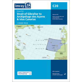
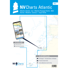
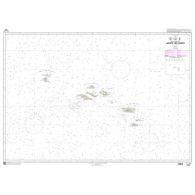
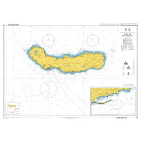
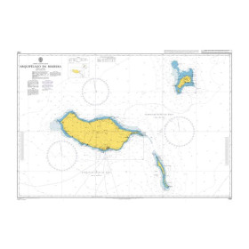
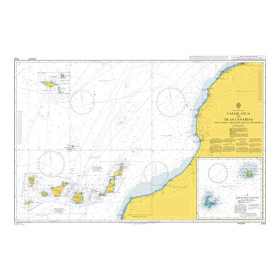
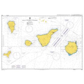
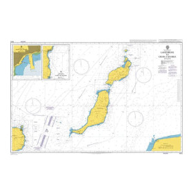
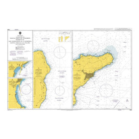
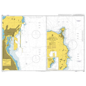
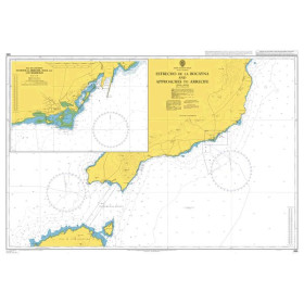
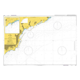
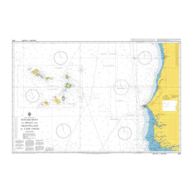
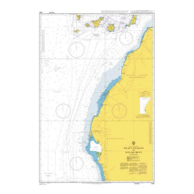
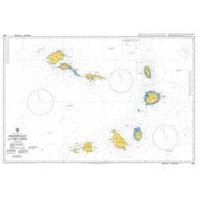
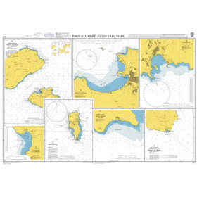
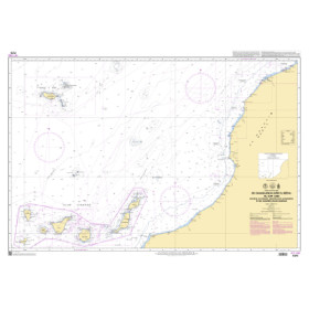
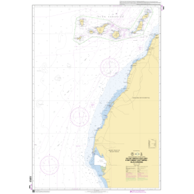
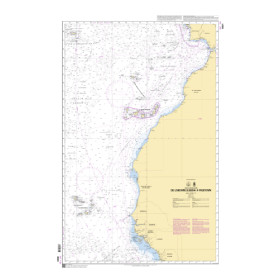
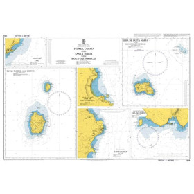
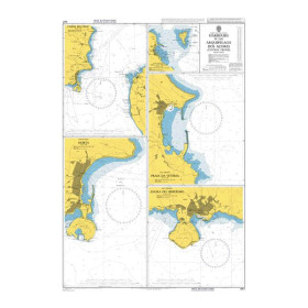
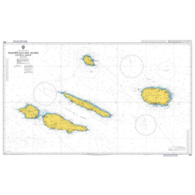
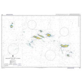
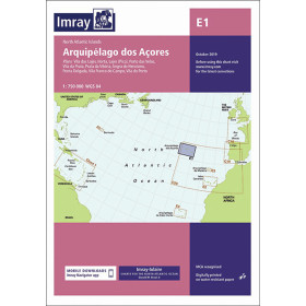
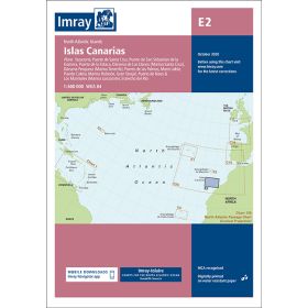
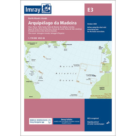
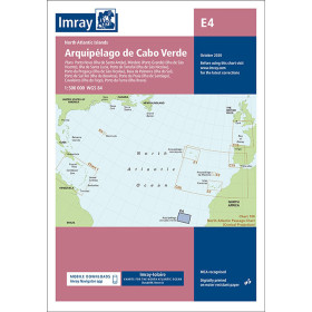
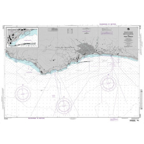
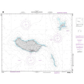
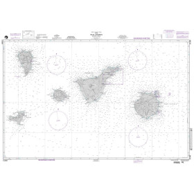
The category “I navigate in the Azores, Canary Islands and Cape Verde” brings together nautical charts, cruising guides and essential documents for planning navigation in the North Atlantic and tropical Atlantic. It covers the Azores, including Ponta Delgada, Horta, Angra do Heroísmo and Vila da Praia; the Canary Islands, including Las Palmas, Santa Cruz de Tenerife, Lanzarote and La Gomera; and Cape Verde, with Mindelo, Praia and Palmeira. These destinations are major stopovers for Atlantic crossings, particularly between Europe, the Canary Islands, Cape Verde and the Caribbean. Find charts and guides suitable for coastal navigation, ocean passages, ports, anchorages and harbour approaches. Nautic Way offers documents from publishers and brands including Imray, Admiralty, SHOM, NV Charts and Navionics, helping you plan your route, identify navigational hazards, check depths and access reliable nautical information before departure.

 Click here to open our interactive map and select your charts