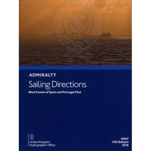




Navigate Spain and Portugal’s west coasts safely with this detailed guide. It covers ports, hazards, and markers, ensuring smooth voyages from Cabo Ortegal to Gibraltar.
Data sheet
Specific References
Navigate the West Coasts of Spain and Portugal with Unmatched Precision
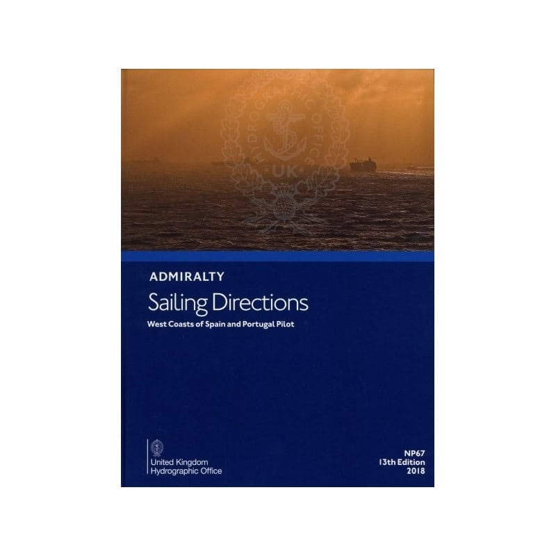
The *Sailing Directions: West Coasts of Spain and Portugal NP067* is the definitive navigational guide for maritime professionals operating along the Iberian Peninsula’s western seaboard. Covering over 1,200 nautical miles of coastline—from Cabo Ortegal in northern Spain to Gibraltar, including the Strait of Gibraltar and the North African coast near Ceuta—this publication provides the critical data needed to navigate safely and efficiently. Designed for commercial vessels, cargo ships, and ocean-going fleets, it delivers unparalleled accuracy and detail, ensuring compliance with international maritime standards and reducing operational risks.
Engineered for Professional Mariners and Commercial Operations
This 15th edition (2024) of the *NP067* is a powerhouse of navigational intelligence, offering in-depth coverage of ports, harbors, and anchorage zones. It includes precise coordinates for key waypoints, detailed descriptions of navigational hazards such as submerged obstacles and strong currents, and up-to-date information on aids to navigation like buoys, beacons, and lighthouses. The guide also provides essential insights into tidal patterns, weather conditions, and local maritime regulations, enabling crews to make informed decisions and avoid costly delays. With a focus on practicality, it is an indispensable tool for route planning, risk assessment, and operational efficiency.
Built to Endure the Demands of Life at Sea
Constructed in a durable hardback format, the *NP067* is designed to withstand the rigors of maritime environments. Its robust binding and high-quality paper resist moisture, salt, and frequent handling, ensuring longevity even in harsh conditions. Weighing just 1.15 kg, it strikes the perfect balance between portability and durability, making it easy to store on the bridge or in the chartroom. The clear, concise layout and professional-grade printing enhance readability, allowing crews to quickly access vital information during critical moments. This combination of durability and usability makes it a reliable resource for vessels operating in one of Europe’s most dynamic maritime regions.
Trusted by Maritime Professionals Worldwide
Published by a globally recognized authority in hydrographic data, the *Sailing Directions: West Coasts of Spain and Portugal NP067* is a cornerstone of maritime safety and efficiency. It is relied upon by ship captains, navigators, and maritime operators to ensure smooth, compliant, and incident-free voyages. Whether navigating busy shipping lanes, entering unfamiliar ports, or planning complex routes, this guide provides the confidence and clarity needed to operate at the highest standards. For those who demand precision, reliability, and comprehensive coverage, the *NP067* is the ultimate navigational companion for the western coasts of Spain and Portugal.
The *Sailing Directions: West Coasts of Spain and Portugal NP067* is a hardback publication in English, featuring the 15th edition (2024) with a publication date of January 1, 2024. It covers the western coastlines of Spain and Portugal, spanning from Cabo Ortegal to Gibraltar, including the Strait of Gibraltar and the North African coast near Ceuta. Weighing 1.15 kg, this durable guide is designed for professional use, providing essential navigational data for commercial and ocean-going vessels.
For over two centuries, this publisher has set the global standard for hydrographic data and maritime navigation. Renowned for its precision, reliability, and adherence to international maritime regulations, it provides essential resources for commercial shipping, naval operations, and maritime safety. Its publications are trusted by mariners worldwide to deliver accurate, up-to-date information critical for safe and efficient navigation in some of the world’s busiest and most challenging waterways.
The publication covers the west coasts of Spain and Portugal, from Cabo Ortegal to Gibraltar, including the Strait of Gibraltar and the northern coast of Africa up to Ceuta.
Yes, it is designed for all types of ocean-going vessels, providing essential details for safe coastal navigation and port entry.
This publication is available in a hardback format for durability and ease of use on board.
The publication is updated periodically; the latest edition is the 15th, published in January 2024.
Yes, it includes detailed information on navigation hazards, aids to navigation, and practical advice for safe passage.
The publication weighs 1.15 kg, making it portable yet comprehensive for navigational use.
You might also like



























































![Admiralty - NP054 - Sailing directions: North Sea [West]](https://www.nautic-way.com/68595-home_default/admiralty-np054-sailing-directions-north-sea-west-maritime-bookshop-nautic-way.jpg)
![Admiralty - NP055 - Sailing directions: North Sea [East]](https://www.nautic-way.com/90871-home_default/admiralty-np055-sailing-directions-north-sea-east-maritime-bookshop-nautic-way.jpg)




































































































