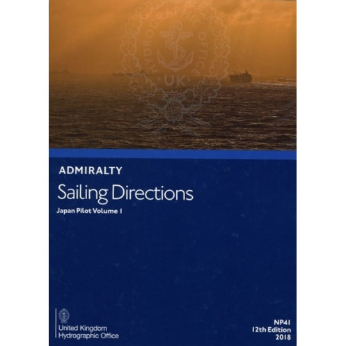




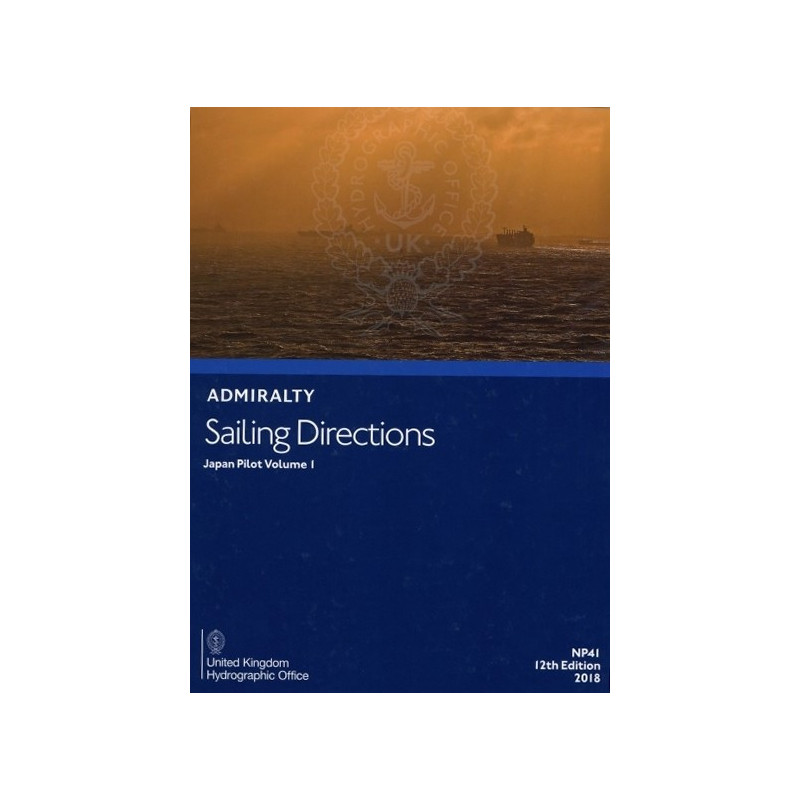
Sail Japan’s northern waters with precision. This guide covers Honshu, Hokkaido, and beyond, offering key insights on hazards, pilotage, ports, and climate—backed by detailed charts and imagery.
Data sheet
Specific References
Navigate Japan’s Waters with Confidence Using This Authoritative Nautical Guide
When precision and reliability are non-negotiable, this nautical publication stands as the definitive resource for mariners navigating the intricate coastal and port waters of Japan. Covering Honshu (excluding the southern coasts), Hokkaido, southern Sakhaline, and the Kuril Islands, this guide delivers unparalleled detail on navigation hazards, aids to navigation, pilotage procedures, and port regulations. It’s not just a book—it’s a critical tool for ensuring safe, compliant, and efficient voyages in one of the world’s most trafficked maritime regions.
Engineered for Professional Mariners Who Demand Accuracy
This publication is built for those who operate in high-stakes environments where every detail matters. It provides comprehensive data on seasonal currents, ice conditions, and weather patterns, allowing mariners to anticipate challenges and adapt their routes accordingly. High-quality diagrams and photographs enhance situational awareness, transforming complex hydrographic data into clear, actionable insights. Whether you’re planning a passage or navigating in real-time, this guide ensures you have the information needed to make informed decisions.
Part of a Global Standard for Maritime Navigation
As one of 76 volumes covering major trade routes worldwide, this publication adheres to the highest standards of accuracy and reliability. It is trusted by commercial shipping companies, fishing fleets, and maritime authorities for its consistency and depth of information. The paper version is designed for durability and ease of use on the bridge, allowing for quick reference and annotation. With a weight of 1.9 kg, it’s built to withstand the demands of life at sea while remaining a lightweight addition to your navigation toolkit.
A Legacy of Trust and Precision Since 1873
With roots tracing back to *The China Sea Directory, Vol. 4*, first published in 1873, this guide carries a legacy of over a century of maritime expertise. It has evolved alongside the industry, incorporating the latest hydrographic data and navigation best practices. The 11th edition (2014) reflects decades of refinement, ensuring that mariners have access to the most current and relevant information for navigating Japanese waters. This is not just a publication—it’s a testament to the enduring commitment to maritime safety and efficiency.
This nautical guide is a paper publication in English, weighing 1.9 kg, and is part of a globally recognized series of 76 volumes covering major trade routes. It provides detailed coverage of Japan’s coastal and port waters, including Honshu, Hokkaido, southern Sakhaline, and the Kuril Islands, with precise data on navigation hazards, aids to navigation, pilotage, port facilities, and environmental conditions. The 11th edition (2014) ensures mariners have access to reliable, up-to-date information for safe and efficient navigation.
With a legacy spanning over two centuries, this hydrographic office is a global leader in maritime navigation, providing authoritative nautical publications trusted by professional mariners worldwide. Their comprehensive series of sailing directions, charts, and guides set the standard for accuracy, reliability, and adherence to international maritime regulations, ensuring safe and efficient voyages across the world’s oceans.
This volume covers Honshu (excluding southern coasts), Hokkaido, southern Sakhaline, and the Kuril Islands, providing detailed coastal and port navigation information.
Yes, it includes high-quality diagrams and photographs to assist with passage planning and enhance situational awareness on deck.
It provides information on hazards such as underwater obstacles, restricted areas, and other risks specific to the covered regions.
Yes, it covers seasonal currents, ice conditions, and climatic factors relevant to safe navigation in the specified areas.
The publication weighs 1.9 kg, making it suitable for onboard reference without excessive bulk.
No, this edition is only available in paper format.
Originally published as The China Sea Directory, Vol. 4 in 1873, it has since evolved to cover the current regions with updates in subsequent editions.
You might also like



























































![Admiralty - NP054 - Sailing directions: North Sea [West]](https://www.nautic-way.com/68595-home_default/admiralty-np054-sailing-directions-north-sea-west-maritime-bookshop-nautic-way.jpg)
![Admiralty - NP055 - Sailing directions: North Sea [East]](https://www.nautic-way.com/90871-home_default/admiralty-np055-sailing-directions-north-sea-east-maritime-bookshop-nautic-way.jpg)