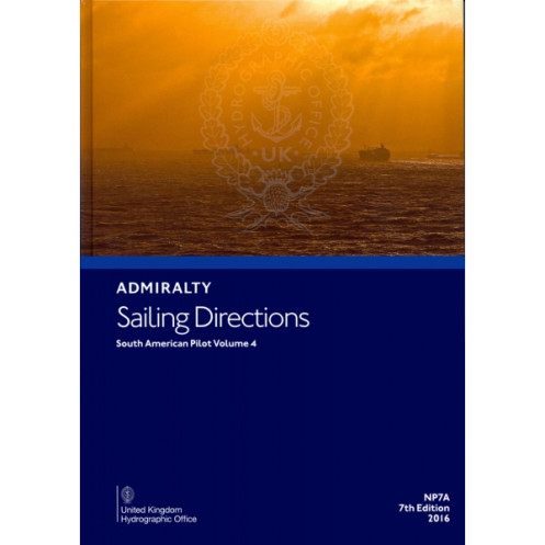




Ensure safe and precise navigation along South America’s coasts with this trusted sailing directions guide. Includes detailed port entry and coastal navigation data for the Panama Canal area.
Data sheet
Specific References
Navigate South America’s Waters with Unmatched Precision
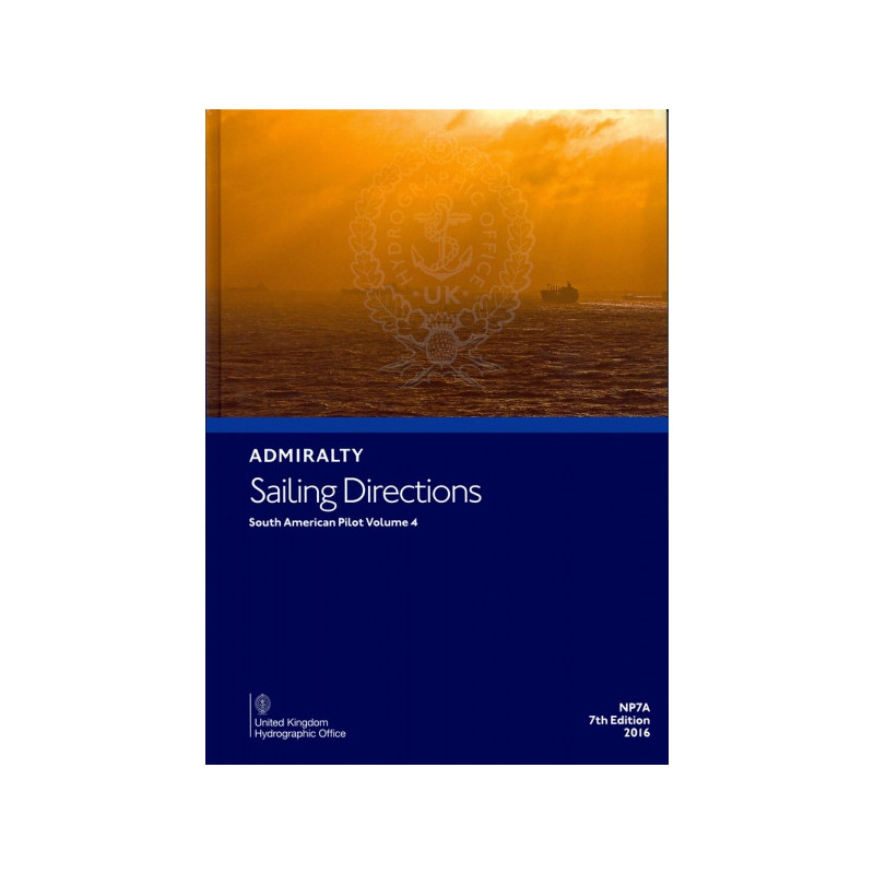
Sailing Directions: South America Volume 4 Part A is the definitive nautical reference for mariners operating in one of the world’s most critical maritime regions. This 7th edition, published in 2016, delivers unparalleled accuracy and detail for navigating the coasts of South America, including the high-traffic Panama Canal zone. Weighing 1.9 kg, this hardback volume is built to endure the demands of life at sea while providing the essential data needed for safe and efficient voyages.
Engineered for Professional Mariners
Designed specifically for the merchant marine, naval fleets, and maritime professionals, this publication offers more than just charts—it provides actionable intelligence. From port entry procedures to coastal navigation strategies, it covers everything from tides and currents to local regulations and pilotage requirements. The included coordinates (latitudes 4°N to 15°S and longitudes 50°W to 83°W) ensure comprehensive coverage of the region, making it an indispensable tool for vessels of all types, from cargo ships to naval vessels.
Reliability You Can Trust
As part of the globally recognized Admiralty Pilots series, this volume upholds the highest standards of hydrographic accuracy. Its durable hardback construction ensures it remains a dependable resource, even in the most challenging maritime conditions. Whether you’re navigating busy shipping lanes or remote coastlines, this publication equips you with the precise, up-to-date information needed to mitigate risks and optimize operations.
This 7th edition nautical publication, published in 2016, is a hardback volume weighing 1.9 kg. It provides comprehensive coverage of South America’s coastal waters, including the Panama Canal region, with detailed coordinates spanning latitudes 4°N to 15°S and longitudes 50°W to 83°W. Written in English, this paperback edition is designed for durability and ease of use in professional maritime environments.
For over two centuries, this hydrographic authority has set the global standard for maritime navigation publications. Renowned for its precision, reliability, and adherence to international maritime regulations, its nautical guides are trusted by commercial fleets, naval forces, and maritime professionals worldwide. Each publication reflects decades of expertise in hydrographic data collection and cartography, ensuring mariners have the most accurate and up-to-date information at their fingertips.
This edition covers South America, including the Panama Canal region, with detailed navigation information for coastal and port entry areas.
Yes, it provides essential navigation support for all types of ships, including commercial, private, and military vessels.
The publication weighs 1.9 kilograms, making it durable and easy to handle on board.
Yes, it contains critical details for port entry, including local regulations, navigational hazards, and recommended routes.
The publication includes latitude and longitude coordinates in decimal degrees for precise navigation reference.
While it primarily supports coastal and port navigation, it also includes relevant offshore references for safer transit.
You might also like


























































![Admiralty - NP054 - Sailing directions: North Sea [West]](https://www.nautic-way.com/68595-home_default/admiralty-np054-sailing-directions-north-sea-west-maritime-bookshop-nautic-way.jpg)
![Admiralty - NP055 - Sailing directions: North Sea [East]](https://www.nautic-way.com/90871-home_default/admiralty-np055-sailing-directions-north-sea-east-maritime-bookshop-nautic-way.jpg)





































































































