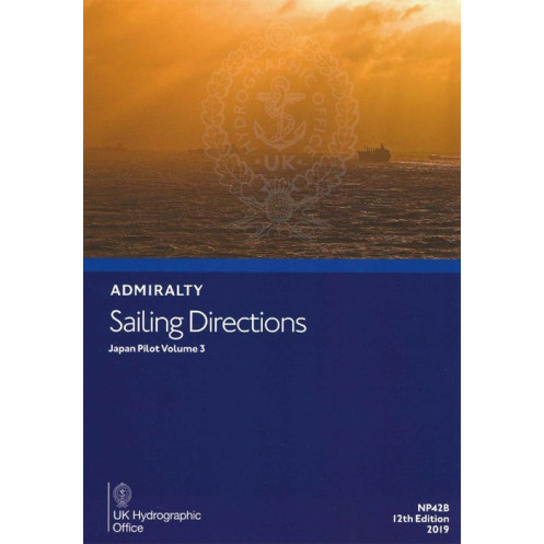




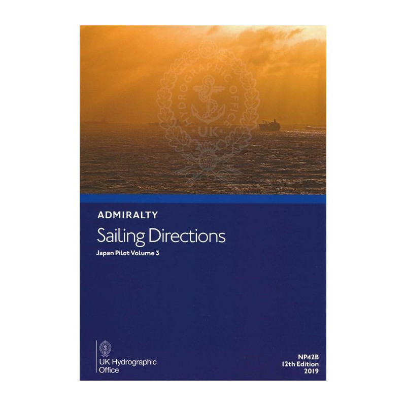
Ensure safe passage through Japan’s Seto Inland Sea with this comprehensive sailing guide. Covers port entries, coastal navigation, and nautical charts for vessels of all sizes.
Data sheet
Specific References
Navigate Japan’s Inland Sea with Confidence
Sailing Directions: Japan Vol. 3 is the definitive guide for mariners navigating the Seto Naikai, Japan’s vital inland waterway. This essential publication provides precise, up-to-date information on port approaches, coastal hazards, and navigational best practices, ensuring safe and efficient passage for commercial vessels, naval ships, and maritime operators. Designed to complement standard nautical charts, it delivers a comprehensive overview of the region’s unique challenges, from tidal currents to restricted zones, making it an indispensable resource for professional crews.
Engineered for Professional Use
Built to withstand the rigors of maritime operations, this hardback edition combines durability with clarity. The 11th edition (2016) offers detailed coverage of the Seto Naikai, including critical data on latitudes (32.92°N to 35°N) and longitudes (130.67°E to 136°E). Weighing 1.9 kg, it is designed for easy reference on the bridge, providing mariners with the tools needed to navigate complex waterways, avoid hazards, and optimize route planning. Its English-language format ensures accessibility for international crews, reinforcing its role as a global standard for maritime navigation.
Trusted by Maritime Authorities Worldwide
As part of a 74-volume series covering Japan, this publication reflects decades of hydrographic expertise. It integrates seamlessly with Admiralty nautical charts, offering a layered approach to maritime safety. Whether transiting narrow channels, approaching industrial ports, or navigating high-traffic areas, mariners rely on this volume for accurate, actionable intelligence. Its structured format and detailed descriptions of coastal features, port facilities, and navigational aids make it a cornerstone of professional maritime operations in the region.
Sailing Directions: Japan Vol. 3 is a hardback publication in English, weighing 1.9 kg. It covers the Seto Naikai (Inland Sea of Japan) with precise geographic coordinates spanning latitudes 32.92°N to 35°N and longitudes 130.67°E to 136°E. The 11th edition (2016) is designed for professional use, offering durable, paper-based navigation guidance for commercial and naval vessels.
For over two centuries, this hydrographic office has set the global standard for maritime navigation. Its publications, including nautical charts and sailing directions, are trusted by commercial fleets, naval forces, and maritime authorities worldwide. Combining cutting-edge hydrographic data with rigorous quality control, its resources ensure safe and efficient navigation across the world’s oceans.
This volume provides detailed navigation information for the Seto Naikai (Inland Sea of Japan), including coastal navigation, port entries, and supplementary data for safe passage.
Yes, the sailing directions include essential navigation details for ocean-going vessels of all classes, ensuring safe and efficient transit through the covered region.
The printed version weighs approximately 1.9 kg, making it durable and easy to handle onboard.
The coordinates are listed in decimal degrees, covering latitudes from 32.9 to 35 and longitudes from 130.67 to 136 for precise navigation reference.
Yes, it is designed to complement standard nautical charts, offering additional insights and details for enhanced navigation safety.
This edition features a hardback binding, ensuring durability and longevity even in challenging maritime conditions.
You might also like


























































![Admiralty - NP054 - Sailing directions: North Sea [West]](https://www.nautic-way.com/68595-home_default/admiralty-np054-sailing-directions-north-sea-west-maritime-bookshop-nautic-way.jpg)
![Admiralty - NP055 - Sailing directions: North Sea [East]](https://www.nautic-way.com/90871-home_default/admiralty-np055-sailing-directions-north-sea-east-maritime-bookshop-nautic-way.jpg)