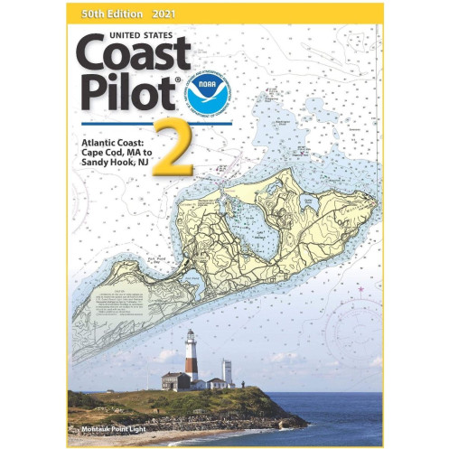




Essential for mariners, this official nautical guide covers the Atlantic Coast from Cape Cod to Sandy Hook, detailing channels, hazards, tides, and key regulations for seamless navigation.
Data sheet
Specific References
Navigate the Atlantic Coast with Confidence
The *United States Coast Pilot 02* is the definitive navigation guide for mariners operating along the Atlantic Coast from Cape Cod, MA, to Sandy Hook, NJ. This official publication provides the critical details that nautical charts alone cannot capture, offering a level of precision and local insight essential for safe and efficient voyages. Whether you're navigating busy shipping lanes, entering unfamiliar harbors, or planning routes through complex waterways, this guide delivers the data you need to make informed decisions in real time.
Precision Data for Professional Navigation
Designed for commercial mariners, this volume includes exact measurements of bridge clearances, overhead cable heights, and channel depths, ensuring vessels of all sizes can navigate safely. It also provides detailed descriptions of tidal currents, water levels, and seasonal variations, allowing for accurate route planning in dynamic coastal environments. With its focus on practical, actionable information, the *Coast Pilot 02* is an indispensable tool for captains, pilots, and maritime professionals who demand reliability and accuracy.
Comprehensive Coverage of a High-Traffic Region
Covering the coastlines of Massachusetts, Rhode Island, Connecticut, and New York, this guide includes major ports such as Boston, Providence, New Haven, and New York Harbor, as well as smaller harbors and inlets. It offers detailed insights into docking facilities, fueling stations, and repair services, along with federal regulations governing navigation, traffic separation schemes, and restricted zones. The 2024 edition is updated with the latest corrections, ensuring you have the most current information for compliance and safety.
Built for the Demands of Maritime Operations
Presented in a durable paperback format, this volume is designed to withstand the challenges of life onboard. Its 8.5" x 11" dimensions make it easy to store and reference, while the perfect-bound spine ensures durability even with frequent use. Full-color maps, diagrams, and illustrations enhance clarity, allowing mariners to quickly interpret complex information. Weighing just 1.8 kg, it’s lightweight enough to keep on the bridge or in a navigation station, yet comprehensive enough to cover over 400 pages of critical data.
The *United States Coast Pilot 02* is a paperback publication in English, covering the Atlantic Coast from Cape Cod, MA, to Sandy Hook, NJ. It measures 8.5" x 11" and weighs 1.8 kg, with over 400 pages of detailed navigation data, including full-color maps and diagrams. The 2024 edition replaces the 53rd edition and is updated annually to incorporate the latest corrections and revisions.
For over a century, this series has set the standard for maritime navigation in the United States. As an official publication, it provides mariners with the most accurate, up-to-date information for safe and compliant voyages along U.S. coastal and inland waters. Trusted by commercial and professional mariners alike, this series is a cornerstone of maritime safety and operational efficiency.
The edition is updated annually to include the most recent corrections and navigational information.
The publication features a perfect-bound paperback binding for durability and ease of use.
Yes, the guide includes color maps and diagrams to enhance navigational clarity.
The publication weighs approximately 1.8 kg, making it portable for onboard use.
Yes, it includes applicable federal regulations for safe and compliant navigation in the covered area.
The publication contains over 400 pages of detailed navigational information.
Yes, it provides specific information on facilities and routes for small vessels.
You might also like



























































![Admiralty - NP054 - Sailing directions: North Sea [West]](https://www.nautic-way.com/68595-home_default/admiralty-np054-sailing-directions-north-sea-west-maritime-bookshop-nautic-way.jpg)
![Admiralty - NP055 - Sailing directions: North Sea [East]](https://www.nautic-way.com/90871-home_default/admiralty-np055-sailing-directions-north-sea-east-maritime-bookshop-nautic-way.jpg)