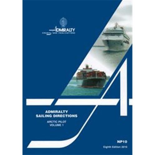




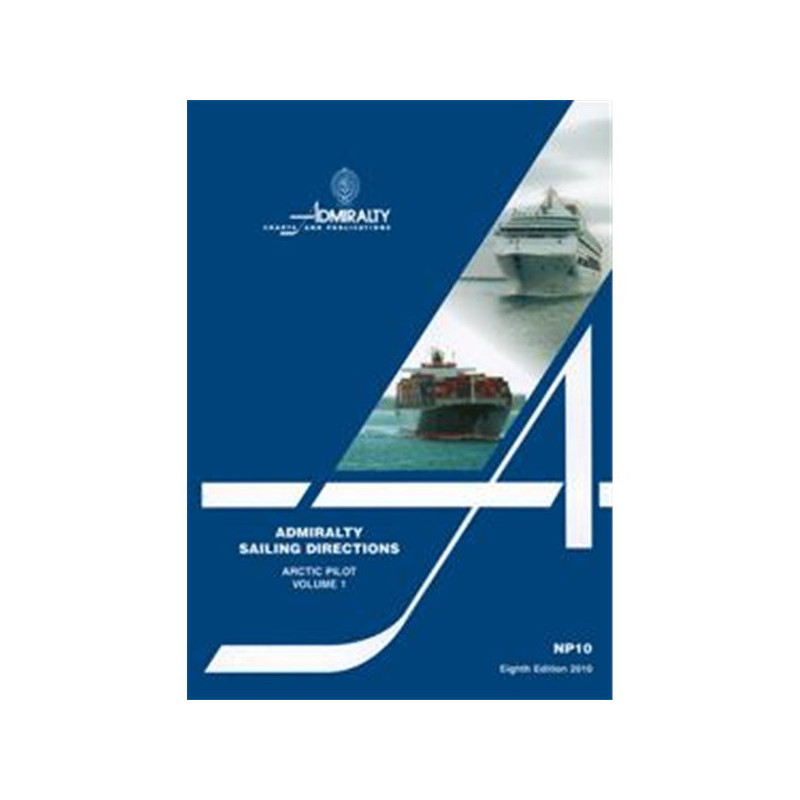
This Arctic sailing guide covers Russia’s northern coasts, Novaya Zemlya, and polar islands. Includes hazards, ports, ice conditions, and seasonal currents for safer navigation in extreme waters.
Data sheet
Specific References
Navigate the challenging Arctic waters with confidence using this comprehensive nautical publication. Designed for maritime professionals, this volume delivers critical pilotage and navigation information for safe coastal and port entry operations along Russia’s northern coastlines. Covering a vast region from Mys Belyy Nos through Proliv Yugorskiy Shar to Mys Yaka—including Novaya Zemlya and Zemlya Severnaya—this guide is an indispensable resource for vessels operating in one of the world’s most remote and hazardous maritime environments.
This publication is part of a globally recognized series, relied upon by commercial shipping fleets, naval vessels, and offshore operators. It provides authoritative, up-to-date information compiled by hydrographic experts, ensuring accuracy and reliability. The 9th edition (2016) incorporates the latest hydrographic surveys, navigational warnings, and regional updates, making it a vital tool for compliance with international maritime regulations and best practices.
The Arctic presents unique navigational hazards, from shifting ice conditions to limited infrastructure and extreme weather. This volume addresses these challenges with detailed descriptions of coastal features, submerged dangers, and seasonal variations in currents, tides, and ice cover. It includes essential data on aids to navigation, pilotage procedures, port facilities, and local regulations, enabling mariners to plan and execute voyages with precision and safety.
Constructed with lightweight, watermarked chart paper and a sturdy hardcover binding, this publication is built to withstand the rigors of onboard use in harsh conditions. High-quality diagrams and photographs enhance clarity, while structured sections ensure quick access to critical information. Whether used for voyage planning, real-time navigation, or emergency response, this guide is designed to perform when it matters most.
Optimized for use alongside official Admiralty charts, this publication ensures consistency and compatibility with other navigational resources. Its standardized format and precise geographic coverage—spanning latitudes 63°N to 85°N and longitudes 40°E to 178°E—make it an ideal companion for vessels relying on a complete suite of hydrographic data. From icebreakers to cargo ships, this volume supports safe and efficient operations in the Arctic’s demanding waters.
Master Arctic Navigation with the Definitive Sailing Directions Guide
When operating in the Arctic’s treacherous waters, precision and reliability are non-negotiable. This nautical publication delivers unparalleled guidance for mariners navigating Russia’s northern coastlines, from Mys Belyy Nos to Mys Yaka, including critical areas like Novaya Zemlya and Zemlya Severnaya. Weighing just 1.9 kg, this hardcover volume is engineered for durability, featuring lightweight, watermarked chart paper designed to resist wear and tear in extreme conditions. Its 9th edition (2016) ensures access to the most current hydrographic data, making it a cornerstone resource for commercial shipping, research vessels, and offshore operations.
Comprehensive Data for Safe and Compliant Voyages
This guide goes beyond basic navigation, offering in-depth coverage of hazards, aids to navigation, pilotage procedures, and local regulations. It includes seasonal data on currents, ice conditions, and climatic challenges, enabling mariners to anticipate and mitigate risks. High-resolution diagrams and photographs provide visual clarity, while structured sections ensure quick access to critical information. Whether planning a voyage or navigating in real-time, this publication equips crews with the knowledge needed to operate safely and efficiently in one of the world’s most unforgiving maritime environments.
Designed for Professional Use and Seamless Integration
Part of a 76-volume series, this publication is trusted by maritime professionals worldwide for its accuracy and reliability. Its geographic coverage spans latitudes 63°N to 85°N and longitudes 40°E to 178°E, aligning perfectly with official Admiralty charts for a cohesive navigational toolkit. The hardcover binding and high-quality paper ensure longevity, even in harsh onboard conditions. For vessels operating in the Arctic, this guide is not just a reference—it’s a lifeline for safe and compliant navigation.
This nautical publication provides essential pilotage and navigation data for Arctic waters, covering Russia’s northern coastlines from Mys Belyy Nos to Mys Yaka. The 9th edition (2016) features a hardcover binding, lightweight watermarked chart paper, and weighs 1.9 kg. It includes high-quality diagrams, photographs, and detailed information on hazards, aids to navigation, port facilities, and seasonal conditions like ice and currents. Compatible with official Admiralty charts, it spans latitudes 63°N to 85°N and longitudes 40°E to 178°E.
For over two centuries, this hydrographic office has been a global leader in maritime safety, providing accurate and reliable navigational data to commercial fleets, naval forces, and offshore industries. Their publications are trusted by mariners worldwide for their precision, comprehensive coverage, and adherence to international standards, ensuring safe and efficient operations in even the most challenging waters.
This volume covers the coasts of the former Soviet Union from Mys Belyy Nos, Proliv Yugorskiy Shar to Mys Yaka, including Novaya Zemlya, Zemlya Frantsa Iosifa, and all islands eastward up to the Novo Sibirskiye Ostrova.
It is designed to be used alongside official Admiralty charts for optimal navigation accuracy and safety.
The publication uses lightweight, watermarked chart paper provided by the UK Hydrographic Office for durability and clarity.
Yes, it includes high-quality diagrams and photographs to assist with navigation and pilotage.
It provides detailed information on navigational hazards, buoyage, pilotage, regulations, port facilities, seasonal currents, ice, and climatic conditions.
New editions are released periodically to ensure updated and accurate navigational information; the current edition is from 2016.
No, this volume specifically covers the Arctic region from Mys Belyy Nos to Mys Yaka, including adjacent islands. Other volumes in the series cover different regions.
You might also like



























































![Admiralty - NP054 - Sailing directions: North Sea [West]](https://www.nautic-way.com/68595-home_default/admiralty-np054-sailing-directions-north-sea-west-maritime-bookshop-nautic-way.jpg)
![Admiralty - NP055 - Sailing directions: North Sea [East]](https://www.nautic-way.com/90871-home_default/admiralty-np055-sailing-directions-north-sea-east-maritime-bookshop-nautic-way.jpg)





































































































