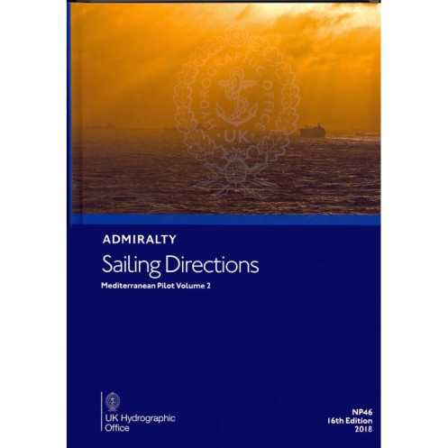




Essential for Mediterranean coastal navigation, this Volume 2 sailing guide delivers expert insights on hazards, port access, weather, and markings—your trusted companion for safer voyages.
Data sheet
Specific References
Navigate the Mediterranean with Unmatched Precision
Sailing Directions: Mediterranean Vol. 2 is the definitive guide for mariners requiring authoritative, field-tested information for safe and efficient navigation in the Mediterranean’s high-traffic zones. This volume, part of a globally trusted series, delivers critical insights for port entry, coastal transit, and hazard avoidance, making it an essential resource for commercial shipping, maritime logistics, and professional seafarers. With coverage spanning latitudes 38.5°N to 45°N and longitudes 0°E to 16.17°E, it addresses the unique challenges of this strategically vital region, from the Balearic Islands to the Adriatic Sea.
Engineered for Professional Decision-Making
Weighing 1.9 kg, this paperback edition is designed for durability and ease of use on the bridge. It combines detailed textual descriptions with high-resolution diagrams and photographs, providing a 360-degree view of navigation conditions. Key sections include localized pilotage instructions, port infrastructure details, seasonal current analyses, and regulatory updates—all curated to enhance operational efficiency and safety. The 18th edition (2022) reflects the latest hydrographic surveys and maritime regulations, ensuring compliance with international standards.
Seamless Integration with Nautical Charts
While nautical charts provide the foundational data for navigation, this volume adds critical context, transforming raw data into actionable intelligence. It highlights submerged dangers, buoyage systems, and local traffic schemes, while also addressing environmental factors like ice formation and climatic variations. This layered approach allows navigators to anticipate challenges, plan alternative routes, and maintain situational awareness in congested or poorly charted areas.
Built for the Demands of Commercial Shipping
Trusted by maritime professionals worldwide, this publication is part of a 76-volume series covering global waters. Its structured format ensures rapid access to information, whether for pre-voyage planning or real-time decision-making. From cargo vessels to maritime authorities, it serves as a reliable reference for minimizing risks, optimizing fuel consumption, and adhering to local maritime laws. With its focus on practicality and precision, it is an indispensable tool for navigating the Mediterranean’s diverse and often unpredictable waters.
This paperback edition of Sailing Directions: Mediterranean Vol. 2 weighs 1.9 kg and spans critical Mediterranean regions, including the western and central basins, the Adriatic Sea, and key ports. Published in 2022 as the 18th edition, it includes 76 volumes in the series, offering detailed coverage of navigation hazards, buoyage systems, pilotage procedures, port facilities, and environmental conditions. The publication is in English and features high-quality diagrams and photographs to support professional maritime operations.
With over two centuries of expertise in hydrography and maritime navigation, the publisher behind this series is a global leader in providing accurate, up-to-date nautical information. Their publications are trusted by commercial fleets, naval forces, and maritime authorities worldwide, setting the standard for safety and precision in navigation. Each volume is meticulously updated to reflect the latest hydrographic data, regulatory changes, and environmental insights, ensuring mariners have the most reliable tools at their disposal.
This volume covers the Mediterranean region, specifically between latitudes 38.5°N to 45°N and longitudes 0°E to 16.17°E, including coastal and port entry details for these areas.
New editions are typically released every few years to ensure updated information. The latest edition available is the 18th edition from 2022.
Yes, the guide includes high-quality diagrams and photographs to enhance situational awareness and navigation accuracy.
The guide provides information on various hazards such as underwater obstacles, restricted zones, and areas with challenging currents or weather conditions.
Yes, it offers detailed guidance for both coastal navigation and port entry, including regulations, pilotage, and port facilities.
The sailing directions are written in English.
The complete series consists of 76 volumes, covering global navigation areas.
You might also like


























































![Admiralty - NP054 - Sailing directions: North Sea [West]](https://www.nautic-way.com/68595-home_default/admiralty-np054-sailing-directions-north-sea-west-maritime-bookshop-nautic-way.jpg)
![Admiralty - NP055 - Sailing directions: North Sea [East]](https://www.nautic-way.com/90871-home_default/admiralty-np055-sailing-directions-north-sea-east-maritime-bookshop-nautic-way.jpg)





































































































