



Navigate the Black Sea and Sea of Azov safely with this detailed paper pilot. Covers hazards, port facilities, regulations, and seasonal conditions for merchant vessels.
Data sheet
Specific References
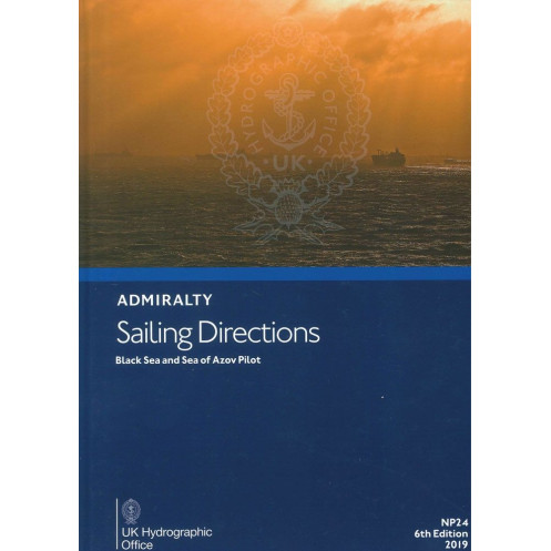
The Black Sea and Sea of Azov Pilot – Sailing Directions NP024 is a critical resource for maritime professionals navigating the Black Sea, Sea of Azov, Sea of Marmara, and adjacent coastlines. This authoritative guide delivers precise, up-to-date information tailored for commercial shipping, ensuring safe and efficient passage planning for vessels of all sizes. Designed to complement official nautical charts, it provides an indispensable layer of detail for mariners operating in these strategically vital waters.
This 6th edition (2019) offers exhaustive coverage of navigation hazards, including shallow waters, submerged obstacles, and high-density traffic zones. It includes critical data on buoyage systems, pilotage requirements, and local maritime regulations, enabling crews to navigate with confidence. The guide also addresses seasonal challenges such as ice formation, strong currents, and unpredictable weather patterns, ensuring vessels can adapt to dynamic conditions in real time.
Beyond navigation, the Sailing Directions NP024 provides practical insights into port infrastructure across Turkey, Bulgaria, Romania, Ukraine, Russia, and Georgia. It details berthing options, cargo handling capabilities, fuel and freshwater availability, and repair services, allowing shipping companies to optimize port calls and reduce downtime. High-quality diagrams and photographs further enhance situational awareness, offering visual references for key landmarks and entry points.
As part of the Admiralty Sailing Directions series, this publication adheres to the highest standards of accuracy and reliability. It is meticulously updated to reflect changes in maritime routes, regulatory frameworks, and environmental conditions, making it a cornerstone of voyage planning for commercial fleets. Whether navigating the congested Bosphorus Strait or the remote coastlines of the Sea of Azov, this guide equips mariners with the knowledge needed to mitigate risks and ensure compliance with international maritime standards.
Essential Navigation Tool for the Black Sea and Sea of Azov
The Black Sea and Sea of Azov Pilot – Sailing Directions NP024 stands as the definitive paper-based guide for mariners navigating one of the world’s most complex maritime regions. Covering over 2,000 nautical miles of coastline, this publication delivers unparalleled detail on the Black Sea, Sea of Azov, Sea of Marmara, and the adjacent waters of six countries—Turkey, Bulgaria, Romania, Ukraine, Russia, and Georgia. Weighing 1.9 kg, this 6th edition (2019) is engineered for durability and ease of use, ensuring it withstands the rigors of onboard conditions while providing instant access to critical navigation data.
Precision Data for Safe and Efficient Voyages
Designed for commercial shipping, this guide integrates seamlessly with official nautical charts, offering layer upon layer of actionable intelligence. It includes high-resolution diagrams and photographs that clarify key landmarks, entry points, and potential hazards, reducing the risk of grounding or collision. The publication also addresses seasonal variables such as ice formation in the Sea of Azov and strong currents in the Bosphorus Strait, enabling crews to adjust their routes dynamically. With coverage spanning latitudes 40°N to 50°N and longitudes 14.25°E to 45°E, it ensures no critical detail is overlooked.
Regulatory Compliance and Port Logistics
Beyond navigation, the Sailing Directions NP024 serves as a comprehensive reference for port operations. It outlines local maritime regulations, pilotage requirements, and berthing procedures, ensuring vessels comply with regional laws and avoid costly delays. The guide also details port facilities, including cargo handling capabilities, fuel and freshwater availability, and repair services, allowing shipping companies to streamline logistics and minimize downtime. Whether navigating the bustling ports of Istanbul or the industrial hubs of the Sea of Azov, this publication provides the insights needed to optimize every aspect of a voyage.
Built for Professional Mariners
Part of the esteemed Admiralty Sailing Directions series, this guide is trusted by maritime professionals worldwide. Its hardcover binding ensures longevity, while its clear, concise language makes it accessible to international crews. Updated to reflect the latest hydrographic data, it remains the gold standard for safe and efficient navigation in the Black Sea region. For shipping companies, fleet managers, and mariners, the Sailing Directions NP024 is not just a tool—it’s a mission-critical resource for every voyage.
The Black Sea and Sea of Azov Pilot – Sailing Directions NP024 is a 6th edition (2019) paper publication, weighing 1.9 kg. It covers the Black Sea, Sea of Azov, Sea of Marmara, and adjacent coastlines, including Turkey, Bulgaria, Romania, Ukraine, Russia, and Georgia. Available in English, this hardcover guide includes high-quality diagrams, photographs, and detailed data on navigation hazards, port facilities, and seasonal conditions.
With over two centuries of expertise, the publisher behind this publication is a global leader in hydrographic data and maritime navigation solutions. Renowned for its accuracy and reliability, its publications are trusted by commercial fleets, naval forces, and maritime authorities worldwide. The Sailing Directions series, in particular, sets the standard for safe and efficient navigation in some of the world’s most challenging waters.
The guide covers the Black Sea, Sea of Azov, Sea of Marmara, and adjacent coastlines of Turkey, Bulgaria, Romania, Ukraine, Russia, and Georgia, including key navigational hazards and port facilities.
Yes, this edition is available in both paper format and as an e-NP (digital) version for enhanced accessibility and convenience.
The paper version features a durable hardcover binding, designed for frequent use in maritime environments.
Yes, it provides detailed data on seasonal currents, ice conditions, and climatic factors to assist in safe passage planning.
The paper version weighs approximately 1.9 kilograms, making it portable yet comprehensive for onboard use.
Yes, it is designed to support safe navigation for merchant vessels of all classes operating in the covered regions.
This is the 6th edition, published in 2019, ensuring up-to-date navigational information and regulations.
You might also like


























































![Admiralty - NP054 - Sailing directions: North Sea [West]](https://www.nautic-way.com/68595-home_default/admiralty-np054-sailing-directions-north-sea-west-maritime-bookshop-nautic-way.jpg)
![Admiralty - NP055 - Sailing directions: North Sea [East]](https://www.nautic-way.com/90871-home_default/admiralty-np055-sailing-directions-north-sea-east-maritime-bookshop-nautic-way.jpg)