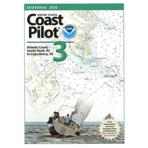




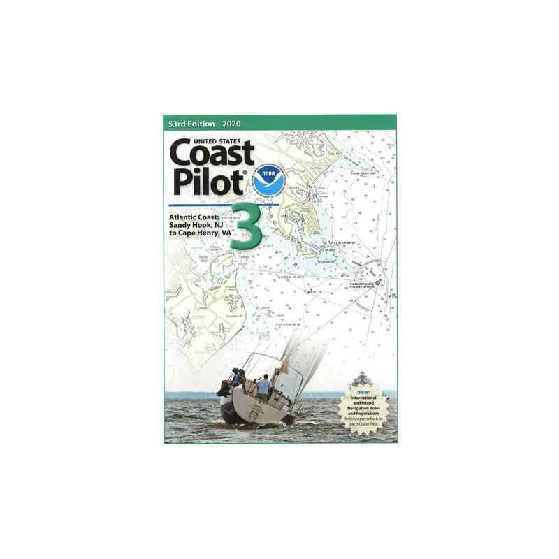
Essential for Atlantic Coast voyages from Sandy Hook, NJ to Cape Henry, VA. Includes Delaware and Chesapeake Bays, with critical data on channels, tides, hazards, and navigation rules.
Data sheet
Specific References
Master the Atlantic Coast with the Definitive Nautical Guide for Professional Mariners
The *United States Coast Pilot 03* is the official nautical publication for the Atlantic Coast, covering the critical stretch from Sandy Hook, New Jersey, to Cape Henry, Virginia. This 59th edition, updated for 2026, is an essential resource for commercial mariners, providing detailed information that complements nautical charts. With coverage of Delaware Bay and Chesapeake Bay, this guide ensures you have the insights needed to navigate safely and efficiently in one of the most complex maritime regions in the U.S.
Precision Navigation for Demanding Waters
Designed for professionals, this publication offers unparalleled detail on channels, anchorages, bridge heights, and underwater hazards. It includes critical data on tides, currents, and water levels, as well as weather and ice conditions that can impact operations. The guide also provides comprehensive descriptions of harbors, docks, and marine facilities, ensuring you can plan every aspect of your voyage with confidence. Whether you're navigating the busy ports of the Atlantic Coast or the intricate waterways of Chesapeake Bay, this volume delivers the accuracy and reliability required for safe and efficient navigation.
Regulatory Compliance and Operational Efficiency
Beyond physical navigation, the *United States Coast Pilot 03* is a vital tool for understanding federal navigation regulations, pilotage services, and traffic separation schemes. It ensures compliance with maritime laws while providing insights into towing services, small-craft facilities, and key landmarks. Updated regularly by maritime experts, this guide reflects the latest changes in coastal conditions and infrastructure, making it an indispensable resource for professionals who demand the most current and precise information.
Built for Durability and Reliability
This paperback edition is designed to withstand the rigors of maritime use, with a sturdy construction that ensures longevity even in challenging conditions. Weighing 1.8 kg, it strikes the perfect balance between portability and durability, making it easy to carry on board while providing the comprehensive coverage needed for professional navigation. As part of the nine-volume *United States Coast Pilot* series, this publication upholds the highest standards of accuracy and reliability, making it a trusted companion for mariners who operate along the Atlantic Coast.
The *United States Coast Pilot 03* is the 59th edition of this official nautical publication, updated for 2026. It covers the Atlantic Coast from Sandy Hook, New Jersey, to Cape Henry, Virginia, including Delaware Bay and Chesapeake Bay. Published in English, this paperback guide weighs 1.8 kg and is part of the nine-volume *United States Coast Pilot* series, offering comprehensive coverage for professional mariners.
For over a century, this series has been the gold standard for nautical navigation in U.S. waters, trusted by mariners for its accuracy, reliability, and comprehensive coverage. Developed by experts in maritime navigation, these publications are updated regularly to reflect the latest changes in coastal conditions, infrastructure, and regulations, ensuring professionals have the most current and precise information at their fingertips.
The guide covers the Atlantic Coast from Sandy Hook, New Jersey, to Cape Henry, Virginia, including Delaware Bay and Chesapeake Bay, with precise navigational details for these regions.
The publication is updated annually, with the latest edition released in 2026 as the 59th edition.
It includes details on submerged obstacles, shallow areas, strong currents, bridge clearances, overhead cables, and other potential hazards along the covered coastline.
Yes, the guide provides federal regulations applicable to navigation, including traffic separation schemes and restricted zones.
The printed version weighs approximately 1.8 kilograms.
Yes, it provides descriptions of marinas, small boat facilities, and services available for recreational and commercial vessels.
Yes, the guide includes detailed information on tides, currents, and water levels to assist with safe navigation.
You might also like



























































![Admiralty - NP054 - Sailing directions: North Sea [West]](https://www.nautic-way.com/68595-home_default/admiralty-np054-sailing-directions-north-sea-west-maritime-bookshop-nautic-way.jpg)
![Admiralty - NP055 - Sailing directions: North Sea [East]](https://www.nautic-way.com/90871-home_default/admiralty-np055-sailing-directions-north-sea-east-maritime-bookshop-nautic-way.jpg)