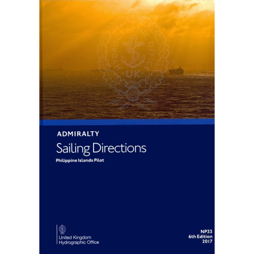




Ensure safe passage through the Philippine Islands with this detailed sailing directions guide. Covers hazards, pilotage, port regulations, and climatic conditions for reliable maritime navigation.
Data sheet
Specific References
Navigate the Philippine Islands with Confidence
The Sailing Directions: Philippine Islands Pilot is the definitive paperback guide for mariners operating in the waters of the Philippine archipelago, the Sulu Sea, and the northern coasts of Borneo. Published in 2021 as the 6th edition, this 1.9 kg volume is part of a globally recognized series of 76 nautical publications, trusted by commercial fleets, naval forces, and maritime authorities worldwide. Designed for professional use, it bridges the gap between raw chart data and real-world navigation, offering actionable insights for safe and compliant voyages.
Precision Data for High-Stakes Maritime Environments
Covering latitudes from 4° to 18.5° N and longitudes from 116.58° to 130° E, this guide provides unparalleled detail on navigation hazards, port facilities, and local regulations. It includes critical information on buoyage systems, pilotage requirements, and seasonal weather patterns—such as monsoon-driven currents and tropical storm risks—that can impact vessel safety. High-resolution diagrams and photographs offer visual confirmation of key landmarks, ensuring accurate identification of port entrances, narrow passages, and potential obstacles. Whether transiting the Sulu Sea or approaching the bustling ports of the Philippines, mariners rely on this publication to mitigate risks and optimize route planning.
Built for the Demands of Professional Seafaring
Printed on lightweight, watermarked chart paper, this paperback edition is engineered for durability in harsh maritime conditions. Its robust construction resists moisture and wear, making it ideal for bridge use where digital systems may fail. While a digital version (e-NP) is available, the paper format remains essential for vessels operating in remote areas or under strict SOLAS compliance requirements. Updated in 2021, this edition incorporates the latest hydrographic surveys and regulatory changes, ensuring mariners have access to the most current data for safe and efficient operations.
This Sailing Directions: Philippine Islands Pilot is a 2021 paperback edition, weighing 1.9 kg, and covers the northern and northeastern coasts of Borneo, the Philippine Islands (excluding specific western coasts of Palawan and Luzon), the Sulu Sea, and the Sulu Archipelago. Printed in English on durable, watermarked chart paper, it includes detailed navigation data, seasonal climatic conditions, and high-quality diagrams for professional maritime use.
With over two centuries of expertise, the publisher behind this nautical guide is a globally recognized authority in hydrographic data and maritime safety. Specializing in official navigation publications, their work supports commercial shipping, naval operations, and regulatory compliance worldwide, ensuring mariners have access to accurate, up-to-date information for safe passage.
This guide covers the northern and northeastern coasts of Borneo up to the Sabah-Indonesia border, the Philippine Islands (excluding the western coasts of Palawan and Luzon between Cape Buliluyan and Cape Bojeador, and Siniguian Point), the Sulu Sea, and the Sulu Archipelago.
Yes, in addition to the paper version, a digital format (e-NP) is also available.
The guide is printed on lightweight chart paper, watermarked by the UK Hydrographic Office (UKHO).
Yes, it provides detailed information on seasonal currents, climatic conditions, and other navigational hazards.
New editions are typically released every few years; the latest edition available is from 2021 (6th or 7th edition, depending on the source).
The guide includes high-quality diagrams and photographs to assist with passage planning and coastal navigation.
Yes, it is specifically designed for port entry and coastal navigation, offering detailed pilotage and regulatory information.
You might also like


























































![Admiralty - NP054 - Sailing directions: North Sea [West]](https://www.nautic-way.com/68595-home_default/admiralty-np054-sailing-directions-north-sea-west-maritime-bookshop-nautic-way.jpg)
![Admiralty - NP055 - Sailing directions: North Sea [East]](https://www.nautic-way.com/90871-home_default/admiralty-np055-sailing-directions-north-sea-east-maritime-bookshop-nautic-way.jpg)





































































































