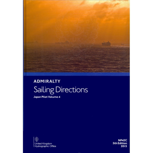




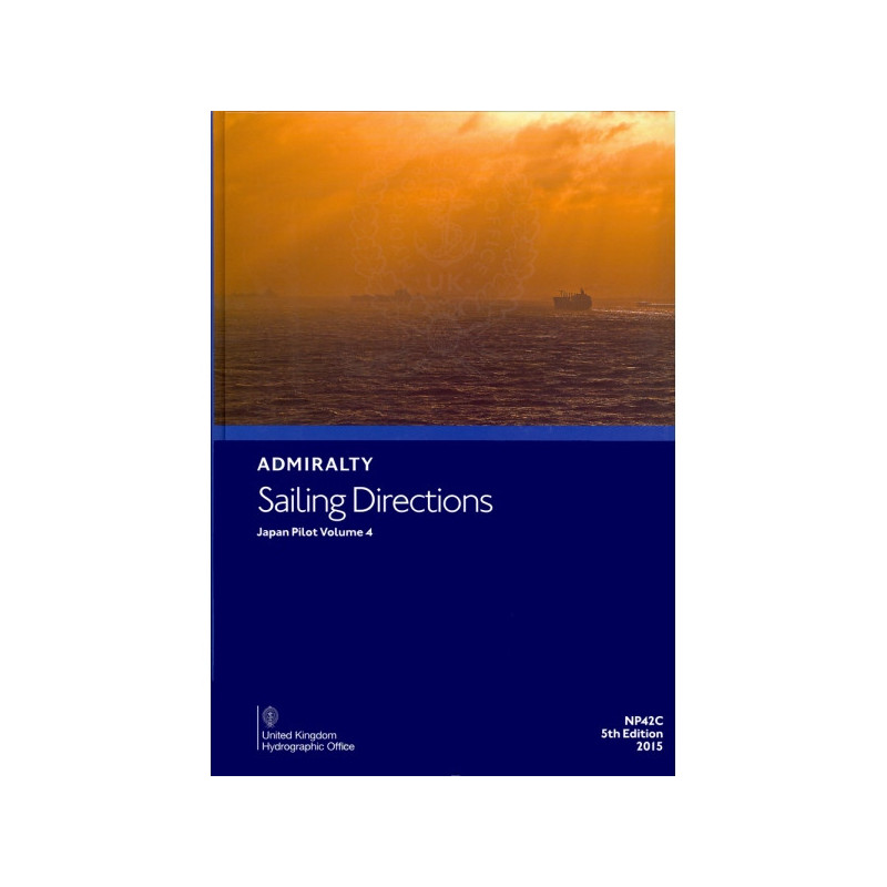
Navigate Japan’s Nansei Shoto and Kyushu coasts with this essential sailing directions guide. Packed with critical nautical data, it ensures safe and efficient voyages for commercial vessels.
Data sheet
Specific References
Navigate Japan’s Complex Waters with Confidence
Sailing Directions: Japan Vol. 4 is the definitive guide for mariners operating in one of the most dynamic maritime regions in the world. Covering Nansei Shoto, the eastern, western, and northwestern coasts of Kyushu, and Tsushima, this volume provides the critical insights needed to navigate safely and efficiently. Designed for professionals in the merchant marine, it complements nautical charts with detailed, practical information tailored to the unique challenges of Japanese waters.
Built for Durability and Reliability
Weighing 1.9 kg, this hardback edition is engineered to endure the demanding conditions of life at sea. Its robust construction ensures that it remains a dependable resource throughout countless voyages, while its clear, concise layout makes it easy to access vital information quickly. Whether you're planning a route or responding to changing conditions, this publication is designed to support decision-making in real time.
Precision-Crafted for Professional Mariners
Part of a globally recognized series of 74 volumes, Sailing Directions: Japan Vol. 4 offers unmatched precision for navigating the region. It includes detailed coordinates spanning latitudes from 18.5°N to 34.83°N and longitudes from 122.5°E to 133°E, ensuring comprehensive coverage of key maritime zones. Updated in its 5th edition (2015), this volume reflects the latest navigational data, making it an indispensable tool for commercial shipping, naval operations, and maritime authorities.
Seamless Integration with Nautical Charts
This publication is designed to work in tandem with standard nautical charts, providing additional context and insights that charts alone cannot offer. From tidal patterns and port facilities to local regulations and environmental considerations, it equips mariners with the knowledge needed to navigate safely and comply with regional requirements. Its historical references, including its evolution from earlier editions like NP 42 Japan Pilot, Vol. 2, underscore its long-standing reputation as a trusted resource for generations of seafarers.
Sailing Directions: Japan Vol. 4 is a hardback publication in English, weighing 1.9 kg. It covers Nansei Shoto, the eastern, western, and northwestern coasts of Kyushu, and Tsushima, with precise coordinates spanning latitudes 18.5°N to 34.83°N and longitudes 122.5°E to 133°E. Part of a 74-volume global series, this 5th edition (2015) is designed for durability and reliability in professional maritime environments.
With over two centuries of expertise, this publisher is a global leader in maritime navigation resources. Renowned for its precision, reliability, and commitment to safety, it provides essential tools for mariners worldwide, from commercial fleets to naval operations. Its publications are trusted by professionals for their accuracy, durability, and adherence to the highest industry standards.
This volume covers Nansei Shoto, the east, west, and northwest coasts of Kyushu, and Tsushima in Japan.
No, this edition is only available in English.
The book weighs 1.9 kg.
The complete series includes 76 volumes covering global navigation.
This publication is hardback bound for durability.
Yes, the 7th edition was released in 2023.
This volume historically replaces sections previously included in NP 42 Japan Pilot, Vol. 2, NP 42A, and NP 42B.
You might also like


























































![Admiralty - NP054 - Sailing directions: North Sea [West]](https://www.nautic-way.com/68595-home_default/admiralty-np054-sailing-directions-north-sea-west-maritime-bookshop-nautic-way.jpg)
![Admiralty - NP055 - Sailing directions: North Sea [East]](https://www.nautic-way.com/90871-home_default/admiralty-np055-sailing-directions-north-sea-east-maritime-bookshop-nautic-way.jpg)





































































































